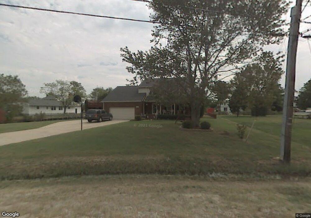
22 E Sandy Point Rd Poquoson, VA 23662
Poquoson Shores NeighborhoodEstimated Value: $579,000 - $658,000
4
Beds
3
Baths
3,161
Sq Ft
$193/Sq Ft
Est. Value
About This Home
This home is located at 22 E Sandy Point Rd, Poquoson, VA 23662 and is currently estimated at $610,191, approximately $193 per square foot. 22 E Sandy Point Rd is a home located in Poquoson City with nearby schools including Summit Christian Academy - Upper School.
Ownership History
Date
Name
Owned For
Owner Type
Purchase Details
Closed on
Feb 25, 2019
Sold by
Anderson John K and Anderson Laurie E
Bought by
Cabrera Angelo Michael and Cabrera Bahar
Current Estimated Value
Home Financials for this Owner
Home Financials are based on the most recent Mortgage that was taken out on this home.
Original Mortgage
$359,383
Outstanding Balance
$314,016
Interest Rate
4.3%
Mortgage Type
VA
Estimated Equity
$296,175
Create a Home Valuation Report for This Property
The Home Valuation Report is an in-depth analysis detailing your home's value as well as a comparison with similar homes in the area
Home Values in the Area
Average Home Value in this Area
Purchase History
| Date | Buyer | Sale Price | Title Company |
|---|---|---|---|
| Cabrera Angelo Michael | $379,000 | Priority Title & Escrow Llc |
Source: Public Records
Mortgage History
| Date | Status | Borrower | Loan Amount |
|---|---|---|---|
| Open | Cabrera Angelo Michael | $359,383 |
Source: Public Records
Tax History
| Year | Tax Paid | Tax Assessment Tax Assessment Total Assessment is a certain percentage of the fair market value that is determined by local assessors to be the total taxable value of land and additions on the property. | Land | Improvement |
|---|---|---|---|---|
| 2025 | $5,679 | $498,200 | $208,900 | $289,300 |
| 2024 | $5,391 | $472,900 | $182,000 | $290,900 |
| 2023 | $5,249 | $472,900 | $182,000 | $290,900 |
| 2022 | $4,848 | $429,000 | $182,000 | $247,000 |
| 2021 | $4,848 | $429,000 | $182,000 | $247,000 |
| 2020 | $0 | $404,100 | $182,000 | $222,100 |
| 2019 | -- | $404,100 | $182,000 | $222,100 |
| 2018 | -- | $396,400 | $182,000 | $214,400 |
| 2017 | -- | $371,000 | $182,000 | $189,000 |
| 2016 | -- | $371,000 | $182,000 | $189,000 |
| 2015 | -- | $371,000 | $182,000 | $189,000 |
| 2013 | -- | $371,000 | $182,000 | $189,000 |
Source: Public Records
Map
Nearby Homes
- 1 Phillips Rd
- 15+AC Browns Neck Rd
- 105 Rens Rd Unit 74
- 105 Rens Rd Unit 2
- 8 White House Dr
- 28 Pasture Rd
- 106 Blue Crab Dr
- 104 Blue Crab Dr
- 4 Wendell Cir
- 11 Valmoore (Lot #10) Dr
- 11 Valmoore Dr
- 14 Valmoore Dr
- 21 Rens Rd
- 20 Wornom Farm Rd
- 812 Poquoson Ave
- 11 Dorothy Dr
- 718C Poquoson Ave
- 5 Quail Cove
- 50 Forrest Rd
- 246 Hunts Neck Rd
- 20 E Sandy Point Rd
- 5 Phillips Rd
- 3 Phillips Rd
- 105 Browns Neck Rd
- 27 E Sandy Point Rd
- 103 Browns Neck Rd
- 18 E Sandy Point Rd
- 25 E Sandy Point Rd
- 19 E Sandy Point Rd
- 6 Phillips Rd
- LOT Phillips Rd
- Lot 36 Phillips Rd
- 101 Browns Neck Rd
- 4 Phillips Rd
- 0 Browns Neck Rd
- 16 E Sandy Point Rd
- 2 Phillips Rd
- 12 Phillips Rd
- 1 Phillips Rd Unit RD.
- 17 E Sandy Point Rd
Your Personal Tour Guide
Ask me questions while you tour the home.