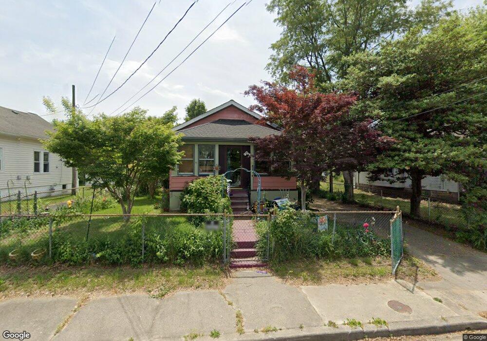
22 E Union St Penns Grove, NJ 08069
Estimated Value: $140,000 - $176,000
Studio
--
Bath
880
Sq Ft
$182/Sq Ft
Est. Value
About This Home
This home is located at 22 E Union St, Penns Grove, NJ 08069 and is currently estimated at $160,023, approximately $181 per square foot. 22 E Union St is a home located in Salem County with nearby schools including Lafayette-Pershing Elementary School, Field Street Elementary School, and Paul W. Carleton Elementary School.
Ownership History
Date
Name
Owned For
Owner Type
Purchase Details
Closed on
Oct 2, 2000
Sold by
Leonardi Anna Marie Lange
Bought by
Cuevas Jose and Cuevas Jose
Current Estimated Value
Home Financials for this Owner
Home Financials are based on the most recent Mortgage that was taken out on this home.
Original Mortgage
$53,600
Outstanding Balance
$27,183
Interest Rate
7.96%
Mortgage Type
Unknown
Estimated Equity
$132,840
Purchase Details
Closed on
Sep 8, 1995
Sold by
Lange George F
Bought by
Lange Anna Marie
Create a Home Valuation Report for This Property
The Home Valuation Report is an in-depth analysis detailing your home's value as well as a comparison with similar homes in the area
Home Values in the Area
Average Home Value in this Area
Purchase History
| Date | Buyer | Sale Price | Title Company |
|---|---|---|---|
| Cuevas Jose | $67,000 | Heritage Title | |
| Lange Anna Marie | -- | West Jersey Title Agency |
Source: Public Records
Mortgage History
| Date | Status | Borrower | Loan Amount |
|---|---|---|---|
| Open | Cuevas Jose | $53,600 | |
| Closed | Cuevas Jose | $13,400 |
Source: Public Records
Tax History
| Year | Tax Paid | Tax Assessment Tax Assessment Total Assessment is a certain percentage of the fair market value that is determined by local assessors to be the total taxable value of land and additions on the property. | Land | Improvement |
|---|---|---|---|---|
| 2025 | $3,461 | $62,400 | $12,700 | $49,700 |
| 2024 | $3,345 | $62,400 | $12,700 | $49,700 |
Source: Public Records
Map
Nearby Homes
- 38 Elvin Ave
- 1 E Pitman St
- 59 61 Broad St
- 15 E Griffith St
- 18 Pearl St
- 51 E Griffith St
- 152 N Broad St Unit 154
- 6 W Griffith St
- 99 N Virginia Ave
- 68 E Harmony St
- 71 Poplar St
- 54 W Pitman St
- 0 Cumberland Ave
- 111 Grove St
- 3 Naylor Ave
- 0 Lincoln Avenue & Cumberland
- 51 Washington Ave
- 19 Howard St
- 101 Penn St
- 242 N Broad St
Your Personal Tour Guide
Ask me questions while you tour the home.