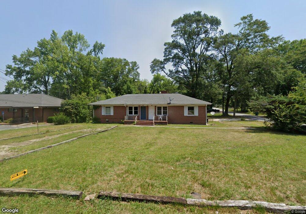
22 E Williams St Winder, GA 30680
Estimated Value: $233,595 - $301,000
4
Beds
2
Baths
1,716
Sq Ft
$160/Sq Ft
Est. Value
About This Home
This home is located at 22 E Williams St, Winder, GA 30680 and is currently estimated at $274,649, approximately $160 per square foot. 22 E Williams St is a home located in Barrow County with nearby schools including County Line Elementary School, Russell Middle School, and Winder-Barrow High School.
Ownership History
Date
Name
Owned For
Owner Type
Purchase Details
Closed on
Jan 24, 2005
Sold by
Ahmad Farouk and Ahmad Zora
Bought by
Lor Tang
Current Estimated Value
Home Financials for this Owner
Home Financials are based on the most recent Mortgage that was taken out on this home.
Original Mortgage
$90,000
Interest Rate
5.72%
Mortgage Type
New Conventional
Purchase Details
Closed on
May 28, 1985
Bought by
Mccully Ray L
Create a Home Valuation Report for This Property
The Home Valuation Report is an in-depth analysis detailing your home's value as well as a comparison with similar homes in the area
Home Values in the Area
Average Home Value in this Area
Purchase History
| Date | Buyer | Sale Price | Title Company |
|---|---|---|---|
| Lor Tang | $120,000 | -- | |
| Mccully Ray L | $5,000 | -- |
Source: Public Records
Mortgage History
| Date | Status | Borrower | Loan Amount |
|---|---|---|---|
| Closed | Lor Tang | $90,000 |
Source: Public Records
Tax History
| Year | Tax Paid | Tax Assessment Tax Assessment Total Assessment is a certain percentage of the fair market value that is determined by local assessors to be the total taxable value of land and additions on the property. | Land | Improvement |
|---|---|---|---|---|
| 2025 | $1,762 | $61,411 | $14,000 | $47,411 |
| 2024 | $1,381 | $46,642 | $9,388 | $37,254 |
| 2023 | $1,377 | $46,642 | $9,388 | $37,254 |
| 2022 | $1,445 | $46,642 | $14,000 | $32,642 |
| 2021 | $1,525 | $40,466 | $10,000 | $30,466 |
| 2020 | $1,281 | $33,938 | $10,000 | $23,938 |
| 2019 | $1,184 | $30,512 | $8,000 | $22,512 |
| 2018 | $1,150 | $30,512 | $8,000 | $22,512 |
| 2017 | $792 | $26,552 | $8,000 | $18,552 |
| 2016 | $866 | $24,697 | $8,000 | $16,697 |
| 2015 | $867 | $24,697 | $8,000 | $16,697 |
| 2014 | $788 | $22,185 | $5,488 | $16,697 |
| 2013 | -- | $25,992 | $5,488 | $20,504 |
Source: Public Records
Map
Nearby Homes
- 131 Pinehurst Dr
- 267 Nancy St
- 317 Georgia Ave
- 17 W Wright St
- 10 W Wright St
- 160 N Broad St
- 0 Jerome St Unit 10359679
- 60 W Williams St
- 18 E New St
- 323 Lumpkin St
- 59 W Wright St
- 270 Griffith St
- 209 Georgia Ave
- 5 W Kimball St
- 3 W Kimball St
- 1 W Kimball St
- 227 Martin Luther King jr Dr
- 221 Martin Luther King jr Dr
- 352 3rd Ave
- 208 Shields St
- 16 E Williams St
- 232 Pinehurst Dr Unit 36
- 71 Pinehurst Dr
- 192 Pinehurst Dr
- 51 Pinehurst Dr
- 172 Pinehurst Dr
- 157 Woodruff Dr
- 112 Greystone Ct
- 131 Pinehurst Dr Unit 29
- 105 Woodruff Dr Unit 25
- 201 Pinehurst Dr Unit 31
- 171 Pinehurst Dr Unit 30
- 237 Pinehurst Dr
- 235 Pinehurst Dr
- 237 Pinehurst Dr Unit 38
- 237 Pinehurst Dr Unit LOT 34
- 235 Pinehurst Dr Unit LOT 33
- 131 Pinehurst Dr Unit 38
- 116 Woodruff Dr Unit 49
- 131 Pinehurst Dr Unit 29
Your Personal Tour Guide
Ask me questions while you tour the home.