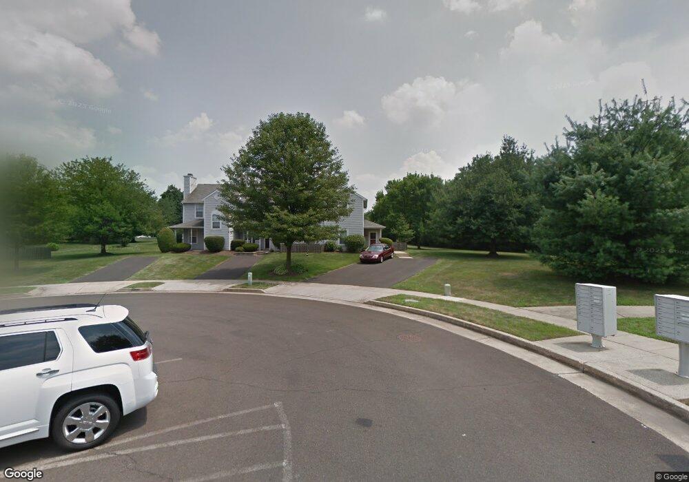
22 Eaton Ct Unit B Newtown, PA 18940
Estimated Value: $358,843 - $392,000
2
Beds
2
Baths
1,030
Sq Ft
$362/Sq Ft
Est. Value
About This Home
This home is located at 22 Eaton Ct Unit B, Newtown, PA 18940 and is currently estimated at $372,711, approximately $361 per square foot. 22 Eaton Ct Unit B is a home located in Bucks County with nearby schools including Goodnoe Elementary School, Newtown Middle School, and Council Rock High School North.
Ownership History
Date
Name
Owned For
Owner Type
Purchase Details
Closed on
Aug 28, 1998
Sold by
Kocak Kenneth P and Kocak Amy
Bought by
Polis Michael P
Current Estimated Value
Home Financials for this Owner
Home Financials are based on the most recent Mortgage that was taken out on this home.
Original Mortgage
$99,000
Outstanding Balance
$21,148
Interest Rate
6.9%
Estimated Equity
$351,563
Purchase Details
Closed on
Mar 8, 1994
Sold by
Logan Ava C
Bought by
Kocak Kenneth P and Arieth Amy
Home Financials for this Owner
Home Financials are based on the most recent Mortgage that was taken out on this home.
Original Mortgage
$91,350
Interest Rate
7.6%
Mortgage Type
FHA
Create a Home Valuation Report for This Property
The Home Valuation Report is an in-depth analysis detailing your home's value as well as a comparison with similar homes in the area
Home Values in the Area
Average Home Value in this Area
Purchase History
| Date | Buyer | Sale Price | Title Company |
|---|---|---|---|
| Polis Michael P | $99,000 | -- | |
| Kocak Kenneth P | $93,500 | -- |
Source: Public Records
Mortgage History
| Date | Status | Borrower | Loan Amount |
|---|---|---|---|
| Open | Polis Michael P | $99,000 | |
| Previous Owner | Kocak Kenneth P | $91,350 |
Source: Public Records
Tax History Compared to Growth
Tax History
| Year | Tax Paid | Tax Assessment Tax Assessment Total Assessment is a certain percentage of the fair market value that is determined by local assessors to be the total taxable value of land and additions on the property. | Land | Improvement |
|---|---|---|---|---|
| 2025 | $3,441 | $19,360 | -- | $19,360 |
| 2024 | $3,441 | $19,360 | $0 | $19,360 |
| 2023 | $3,292 | $19,360 | $0 | $19,360 |
| 2022 | $3,228 | $19,360 | $0 | $19,360 |
| 2021 | $3,178 | $19,360 | $0 | $19,360 |
| 2020 | $3,025 | $19,360 | $0 | $19,360 |
| 2019 | $2,954 | $19,360 | $0 | $19,360 |
| 2018 | $2,897 | $19,360 | $0 | $19,360 |
| 2017 | $2,797 | $19,360 | $0 | $19,360 |
| 2016 | $2,778 | $19,360 | $0 | $19,360 |
| 2015 | -- | $19,360 | $0 | $19,360 |
| 2014 | -- | $19,360 | $0 | $19,360 |
Source: Public Records
Map
Nearby Homes
- 513 Atwood Ct
- 215 Rumford Ct
- 351 Milford Ct
- 12 Farmington Place
- 52 Yorkshire Dr
- 2 Farmington Place
- 3 Farmington Place
- 208 Paxon Alley Unit 50
- 206 Paxon Alley Unit 51
- 144 Yeates Alley
- 8 Bennington Place
- 44 Aster Way
- 101 N Norwood Ave
- 25 Wellington Rd
- 21 Violet Ln Unit 161A
- 313 Washington Ave
- 143 N State St
- 532 Penn St
- 128 Thornhill Ln
- 277 Willow Dr
- 23 Eaton Ct Unit 131C
- 24 Eaton Ct Unit 131D
- 23 Craig Ct Unit 136B
- 22 Craig Ct Unit 136D
- 24 Craig Ct Unit 136A
- 21 Craig Ct Unit 136C
- 11 Eaton Ct Unit 132A
- 12 Eaton Ct Unit 132B
- 13 Eaton Ct Unit 132C
- 14 Eaton Ct Unit 132
- 14 Eaton Ct Unit 132D2
- 34 Craig Ct Unit 135D
- 33 Craig Ct Unit 135C
- 32 Craig Ct Unit 135B
- 34 Eaton Ct Unit 130D
- 33 Eaton Ct Unit 130C
- 31 Craig Ct Unit 135A
- 32 Eaton Ct Unit B
- 1 Eaton Ct Unit 133
- 31 Eaton Ct Unit 130A