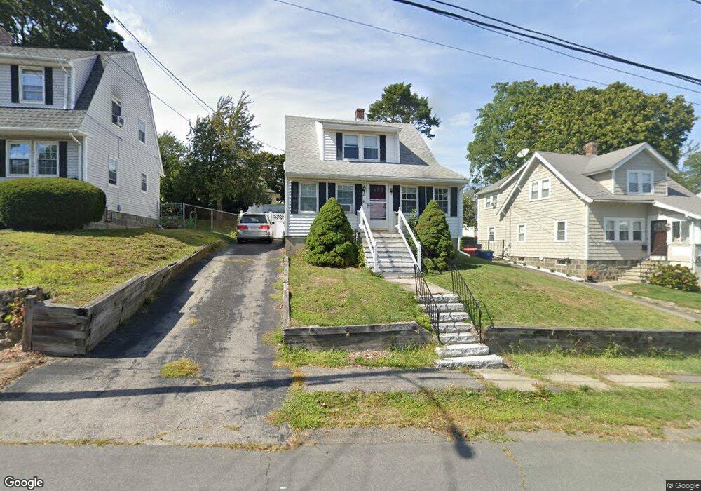
22 Edge Hill Rd Braintree, MA 02184
East Braintree NeighborhoodEstimated Value: $594,000 - $672,000
3
Beds
2
Baths
1,414
Sq Ft
$454/Sq Ft
Est. Value
About This Home
This home is located at 22 Edge Hill Rd, Braintree, MA 02184 and is currently estimated at $641,932, approximately $453 per square foot. 22 Edge Hill Rd is a home located in Norfolk County with nearby schools including Braintree High School, Sacred Heart Elementary School, and South Shore Christian Academy.
Ownership History
Date
Name
Owned For
Owner Type
Purchase Details
Closed on
Oct 11, 1989
Sold by
Donahue Lawrence
Bought by
Gormley Michael F
Current Estimated Value
Create a Home Valuation Report for This Property
The Home Valuation Report is an in-depth analysis detailing your home's value as well as a comparison with similar homes in the area
Home Values in the Area
Average Home Value in this Area
Purchase History
| Date | Buyer | Sale Price | Title Company |
|---|---|---|---|
| Gormley Michael F | $150,000 | -- | |
| Gormley Michael F | $150,000 | -- |
Source: Public Records
Mortgage History
| Date | Status | Borrower | Loan Amount |
|---|---|---|---|
| Open | Gormley Michael F | $47,500 | |
| Open | Gormley Michael F | $200,000 |
Source: Public Records
Tax History
| Year | Tax Paid | Tax Assessment Tax Assessment Total Assessment is a certain percentage of the fair market value that is determined by local assessors to be the total taxable value of land and additions on the property. | Land | Improvement |
|---|---|---|---|---|
| 2025 | $5,553 | $556,400 | $329,700 | $226,700 |
| 2024 | $4,972 | $524,500 | $299,400 | $225,100 |
| 2023 | $4,702 | $481,800 | $269,000 | $212,800 |
| 2022 | $4,535 | $455,800 | $243,000 | $212,800 |
| 2021 | $4,179 | $420,000 | $219,500 | $200,500 |
| 2020 | $3,860 | $391,500 | $199,600 | $191,900 |
| 2019 | $3,730 | $369,700 | $190,900 | $178,800 |
| 2018 | $3,635 | $344,900 | $173,500 | $171,400 |
| 2017 | $3,507 | $326,500 | $164,900 | $161,600 |
| 2016 | $3,415 | $311,000 | $156,200 | $154,800 |
| 2015 | $3,094 | $279,500 | $130,200 | $149,300 |
| 2014 | $3,009 | $263,500 | $124,900 | $138,600 |
Source: Public Records
Map
Nearby Homes
- 54 Edgemont Rd
- 87 Arborway Dr
- 140 Commercial St
- 312 Shaw St
- 18 Hobart St
- 41 Lantern Ln
- 122 Washington St Unit Twenty-two
- 37 Lantern Ln
- 25 Richmond St
- 46 Roosevelt Rd
- 70 Biscayne Ave
- 26 Tingley Rd
- 300 Commercial St Unit 23
- 19 Vine St Unit 2
- 211 Roosevelt Rd
- 30 Skyline Dr Unit 6
- 37 Skyline Dr Unit 11
- 15 Summer St
- 599 Union St
- 25 W Howard St Unit C3
- 22 Edgehill Rd
- 26 Edge Hill Rd
- 16 Edge Hill Rd
- 30 Edge Hill Rd
- 11 Beechwood Rd
- 7 Beechwood Rd
- 15 Beechwood Rd
- 127 Quincy Ave
- 34 Edge Hill Rd
- 19 Edge Hill Rd
- 25 Edge Hill Rd
- 19 Beechwood Rd
- 6 Edge Hill Rd
- 35 Beechwood Rd
- 3-5 Beechwood Rd Unit 3
- 3-5 Beechwood Rd Unit 5
- 3-5 Beechwood Rd
- 3 Beechwood Rd
- 8 Edge Hill Rd
- 31 Edge Hill Rd
Your Personal Tour Guide
Ask me questions while you tour the home.