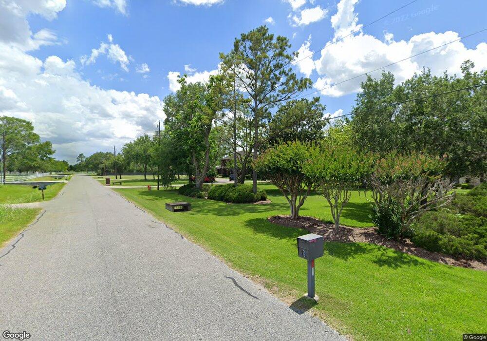
22 El Dorado Dr Friendswood, TX 77546
Estimated Value: $719,000 - $974,000
4
Beds
4
Baths
3,535
Sq Ft
$239/Sq Ft
Est. Value
About This Home
This home is located at 22 El Dorado Dr, Friendswood, TX 77546 and is currently estimated at $846,485, approximately $239 per square foot. 22 El Dorado Dr is a home located in Galveston County with nearby schools including C.W. Cline Elementary School, Windsong Elementary School, and Friendswood Junior High School.
Ownership History
Date
Name
Owned For
Owner Type
Purchase Details
Closed on
Aug 7, 2009
Sold by
Hale Joseph D and Hale Elizabeth L
Bought by
Bell Brent Dean and Bell Amie Badir
Current Estimated Value
Home Financials for this Owner
Home Financials are based on the most recent Mortgage that was taken out on this home.
Original Mortgage
$352,000
Outstanding Balance
$230,674
Interest Rate
5.31%
Mortgage Type
Purchase Money Mortgage
Estimated Equity
$615,811
Create a Home Valuation Report for This Property
The Home Valuation Report is an in-depth analysis detailing your home's value as well as a comparison with similar homes in the area
Home Values in the Area
Average Home Value in this Area
Purchase History
| Date | Buyer | Sale Price | Title Company |
|---|---|---|---|
| Bell Brent Dean | -- | Startex Title Company Cleark |
Source: Public Records
Mortgage History
| Date | Status | Borrower | Loan Amount |
|---|---|---|---|
| Open | Bell Brent Dean | $352,000 |
Source: Public Records
Tax History Compared to Growth
Tax History
| Year | Tax Paid | Tax Assessment Tax Assessment Total Assessment is a certain percentage of the fair market value that is determined by local assessors to be the total taxable value of land and additions on the property. | Land | Improvement |
|---|---|---|---|---|
| 2025 | $14,421 | $850,000 | $386,970 | $463,030 |
| 2024 | $14,421 | $850,000 | $386,970 | $463,030 |
| 2023 | $14,421 | $821,000 | $386,970 | $434,030 |
| 2022 | $17,327 | $765,211 | $406,890 | $358,321 |
| 2021 | $16,704 | $715,150 | $113,810 | $601,340 |
| 2020 | $16,664 | $734,300 | $113,810 | $620,490 |
| 2019 | $15,967 | $628,800 | $113,810 | $514,990 |
| 2018 | $16,061 | $628,800 | $113,810 | $514,990 |
| 2017 | $16,330 | $628,800 | $113,810 | $514,990 |
| 2016 | $15,345 | $618,790 | $113,810 | $504,980 |
| 2015 | $4,880 | $618,790 | $113,810 | $504,980 |
| 2014 | $4,595 | $454,990 | $113,810 | $341,180 |
Source: Public Records
Map
Nearby Homes
- 99 El Dorado Dr
- 1905 Schulte Ln
- 0 Schulte Ln Unit 37538924
- 1913 Lundy Ln
- 2411 Lakeway Dr
- 2605 S Mission Cir
- 2314 Leslies Ct
- 2117 San Miguel Dr
- 8921 Fresno Ave
- 2211 S Mission Cir
- 2847 Everett Dr
- 1804 San Jose St
- 2512 Ravenna Ct
- 2829 Fairway Dr
- 2871 Love Ln
- 1910 N Mission Cir
- 1508 Harvest Vine Ct
- 1536 River Point Dr
- 1424 River Point Dr
- 110 Dorado Dr
- 26 El Dorado Dr
- 14 El Dorado Dr
- 19 El Dorado Dr
- 25 El Dorado Dr
- 30 El Dorado Dr
- 31 El Dorado Dr
- 15 El Dorado Dr
- 000 Lundy Ln
- 2013 Lundy Ln
- 35 El Dorado Dr
- 99 Eldorado Dr
- 99B El Dorado Ln
- 99A Eldorado Ln
- 2004 Lundy Ln
- 2060 Lundy Ln
- 94 El Dorado Dr
- 2009 Lundy Ln
- 2180 Lundy Ln
- 39 El Dorado Dr
- 2120 Lundy Ln
