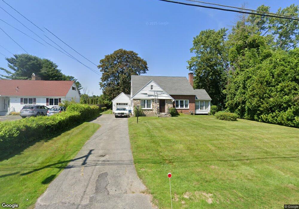
22 Eleanor Rd Pittsfield, MA 01201
Estimated Value: $374,000 - $468,000
2
Beds
2
Baths
1,591
Sq Ft
$254/Sq Ft
Est. Value
About This Home
This home is located at 22 Eleanor Rd, Pittsfield, MA 01201 and is currently estimated at $404,052, approximately $253 per square foot. 22 Eleanor Rd is a home located in Berkshire County with nearby schools including John T. Reid Middle School, Taconic High School, and St Mark School.
Ownership History
Date
Name
Owned For
Owner Type
Purchase Details
Closed on
Jul 27, 1995
Sold by
Barbour Robert
Bought by
Quinn Richard V and Quinn Esther L
Current Estimated Value
Purchase Details
Closed on
May 30, 1989
Sold by
Jardin Monica M
Bought by
Barbour Joan M
Create a Home Valuation Report for This Property
The Home Valuation Report is an in-depth analysis detailing your home's value as well as a comparison with similar homes in the area
Home Values in the Area
Average Home Value in this Area
Purchase History
| Date | Buyer | Sale Price | Title Company |
|---|---|---|---|
| Quinn Richard V | $107,000 | -- | |
| Quinn Richard V | $107,000 | -- | |
| Quinn Richard V | $107,000 | -- | |
| Barbour Joan M | $136,500 | -- | |
| Barbour Joan M | $136,500 | -- |
Source: Public Records
Tax History Compared to Growth
Tax History
| Year | Tax Paid | Tax Assessment Tax Assessment Total Assessment is a certain percentage of the fair market value that is determined by local assessors to be the total taxable value of land and additions on the property. | Land | Improvement |
|---|---|---|---|---|
| 2025 | $6,071 | $338,400 | $80,900 | $257,500 |
| 2024 | $5,823 | $315,600 | $80,900 | $234,700 |
| 2023 | $5,445 | $297,200 | $80,900 | $216,300 |
| 2022 | $4,829 | $260,200 | $80,900 | $179,300 |
| 2021 | $4,412 | $229,200 | $80,900 | $148,300 |
| 2020 | $4,218 | $214,000 | $70,900 | $143,100 |
| 2019 | $3,882 | $199,900 | $65,900 | $134,000 |
| 2018 | $3,902 | $195,000 | $65,900 | $129,100 |
| 2017 | $3,635 | $185,200 | $60,900 | $124,300 |
| 2016 | $3,568 | $190,200 | $60,900 | $129,300 |
| 2015 | $3,435 | $190,200 | $60,900 | $129,300 |
Source: Public Records
Map
Nearby Homes
- 0 West St
- 847 West St
- 1012 West St
- 61 Tor Ct
- 191 Fort Hill Ave
- 26 Churchill Crest
- 46 Churchill Crest Unit 46
- 93 Roselyn Dr
- 44 Churchill Crest Unit 44
- 208 Jason St
- 47 Gale Ave
- 499 Gale Ave
- 497 Gale Ave
- 407 Churchill St
- 8 Samson Ave
- 20 Greenway St
- 15 Atlantic Ave
- 32 Mead Ave
- 14 Summit Ave
- 105 Onota St