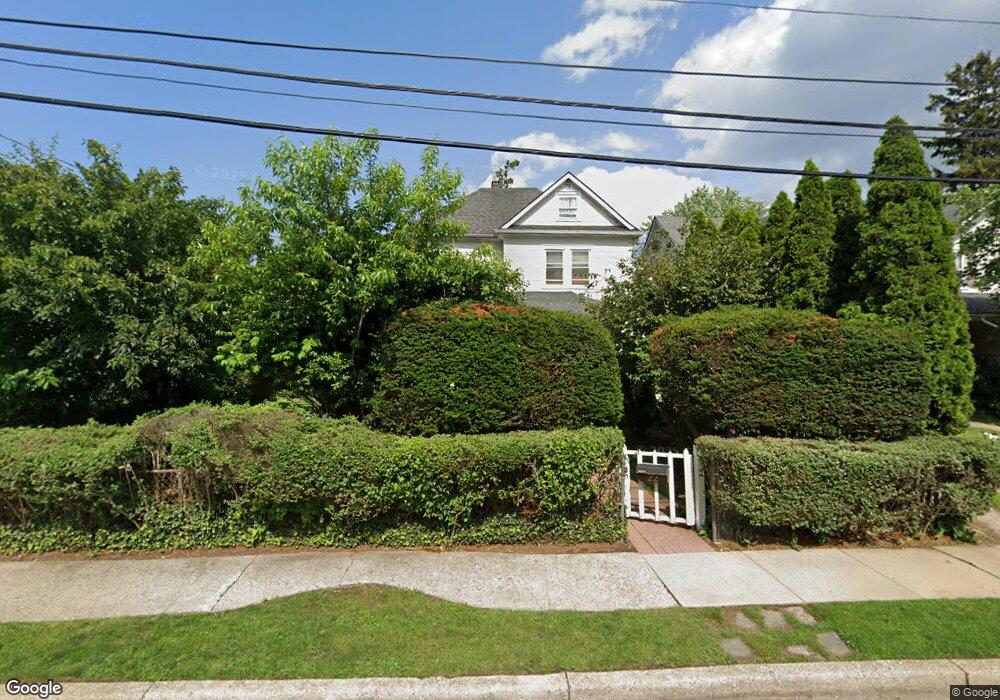
22 Elizabeth Ct Hempstead, NY 11550
Estimated Value: $674,000 - $693,750
4
Beds
2
Baths
2,164
Sq Ft
$316/Sq Ft
Est. Value
About This Home
This home is located at 22 Elizabeth Ct, Hempstead, NY 11550 and is currently estimated at $683,875, approximately $316 per square foot. 22 Elizabeth Ct is a home located in Nassau County with nearby schools including St Martin De Porres Marianist School and Hebrew Academy of Nassau County Middle School and Brookdale High School.
Ownership History
Date
Name
Owned For
Owner Type
Purchase Details
Closed on
Jan 3, 2019
Sold by
Ahearn Brian and Ahearn Christopher
Bought by
Walker Monique
Current Estimated Value
Home Financials for this Owner
Home Financials are based on the most recent Mortgage that was taken out on this home.
Original Mortgage
$389,193
Outstanding Balance
$344,029
Interest Rate
4.87%
Mortgage Type
FHA
Estimated Equity
$339,846
Purchase Details
Closed on
Nov 4, 2014
Sold by
Ahearn Brian and Ahearn Christopher
Bought by
Ahearn Brian and Ahearn Christopher
Create a Home Valuation Report for This Property
The Home Valuation Report is an in-depth analysis detailing your home's value as well as a comparison with similar homes in the area
Home Values in the Area
Average Home Value in this Area
Purchase History
| Date | Buyer | Sale Price | Title Company |
|---|---|---|---|
| Walker Monique | $425,000 | None Available | |
| Ahearn Brian | -- | None Available |
Source: Public Records
Mortgage History
| Date | Status | Borrower | Loan Amount |
|---|---|---|---|
| Open | Walker Monique | $389,193 |
Source: Public Records
Tax History
| Year | Tax Paid | Tax Assessment Tax Assessment Total Assessment is a certain percentage of the fair market value that is determined by local assessors to be the total taxable value of land and additions on the property. | Land | Improvement |
|---|---|---|---|---|
| 2025 | $6,822 | $397 | $198 | $199 |
| 2024 | $1,010 | $401 | $200 | $201 |
Source: Public Records
Map
Nearby Homes
- 27 Elizabeth Ct
- 63 Devon Rd
- 676 Front St Unit F
- 59 Kernochan Ave
- 678 Front St Unit E
- 16 Hendrickson Ave
- 41 Perry St
- 22 Fairview Blvd
- 132 Duncan Rd
- 51 Phoenix St
- 119 Broadfield Rd
- 43 Macdonald St
- 64 Fairview Blvd
- 17 Hope St
- 122 Hamilton Rd
- 195 Cedar St
- 95 Rhodes Ave
- 126 Fairview Blvd
- 136 Fairview Blvd
- 183 Perry St
Your Personal Tour Guide
Ask me questions while you tour the home.