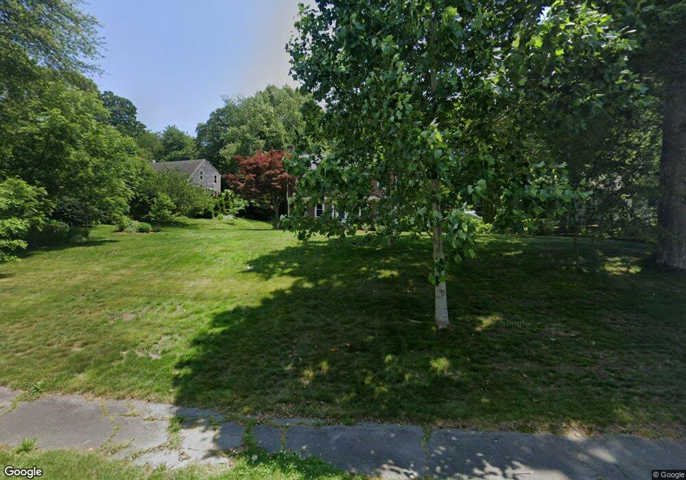
22 Elliot Ln Plymouth, MA 02360
Estimated Value: $723,870 - $741,000
4
Beds
3
Baths
2,330
Sq Ft
$314/Sq Ft
Est. Value
About This Home
This home is located at 22 Elliot Ln, Plymouth, MA 02360 and is currently estimated at $731,218, approximately $313 per square foot. 22 Elliot Ln is a home located in Plymouth County with nearby schools including Nathaniel Morton Elementary School, Plymouth Community Intermediate, and Plymouth North High School.
Ownership History
Date
Name
Owned For
Owner Type
Purchase Details
Closed on
Jan 30, 2004
Sold by
Collins Shannon M and Lundholm Shannon M
Bought by
Conant Margaret M and Conant Patrick J
Current Estimated Value
Home Financials for this Owner
Home Financials are based on the most recent Mortgage that was taken out on this home.
Original Mortgage
$302,000
Outstanding Balance
$141,539
Interest Rate
5.82%
Mortgage Type
Purchase Money Mortgage
Estimated Equity
$589,679
Purchase Details
Closed on
Apr 13, 1999
Sold by
Barry C Tassinari Cons
Bought by
Collins Shannon M and Lundholm Michael J
Home Financials for this Owner
Home Financials are based on the most recent Mortgage that was taken out on this home.
Original Mortgage
$135,750
Interest Rate
6.83%
Mortgage Type
Purchase Money Mortgage
Create a Home Valuation Report for This Property
The Home Valuation Report is an in-depth analysis detailing your home's value as well as a comparison with similar homes in the area
Home Values in the Area
Average Home Value in this Area
Purchase History
| Date | Buyer | Sale Price | Title Company |
|---|---|---|---|
| Conant Margaret M | $377,500 | -- | |
| Collins Shannon M | $181,032 | -- |
Source: Public Records
Mortgage History
| Date | Status | Borrower | Loan Amount |
|---|---|---|---|
| Open | Collins Shannon M | $302,000 | |
| Closed | Collins Shannon M | $57,000 | |
| Previous Owner | Collins Shannon M | $170,000 | |
| Previous Owner | Collins Shannon M | $135,750 | |
| Closed | Collins Shannon M | $27,100 |
Source: Public Records
Tax History Compared to Growth
Tax History
| Year | Tax Paid | Tax Assessment Tax Assessment Total Assessment is a certain percentage of the fair market value that is determined by local assessors to be the total taxable value of land and additions on the property. | Land | Improvement |
|---|---|---|---|---|
| 2025 | $6,881 | $542,200 | $214,200 | $328,000 |
| 2024 | $6,627 | $514,900 | $195,200 | $319,700 |
| 2023 | $6,379 | $465,300 | $176,200 | $289,100 |
| 2022 | $5,882 | $381,200 | $166,100 | $215,100 |
| 2021 | $5,675 | $351,200 | $166,100 | $185,100 |
| 2020 | $5,456 | $333,700 | $151,100 | $182,600 |
| 2019 | $5,328 | $322,100 | $141,100 | $181,000 |
| 2018 | $5,155 | $313,200 | $131,100 | $182,100 |
| 2017 | $4,906 | $295,900 | $131,100 | $164,800 |
| 2016 | $4,671 | $287,100 | $121,100 | $166,000 |
| 2015 | $4,401 | $283,200 | $116,100 | $167,100 |
| 2014 | $4,152 | $274,400 | $116,100 | $158,300 |
Source: Public Records
Map
Nearby Homes
- 65 Old Field Rd Unit 65
- 84 Old Field Rd Unit 84
- 583 State Rd
- 15 Cedar Rd
- 814 Rocky Hill Rd
- 9 Sunflower Way
- 4 Priscilla Beach Rd
- 88 Beach St
- 10 Tideview Path Unit 18
- 80 Kestrel Heights Unit 40
- 43 Kestrel Heights Unit 68
- 78 Kestrel Heights Unit 39
- 43 Kestrel Heights
- 78 Kestrel Heights
- 80 Kestrel Heights
- 39 Kestrel Heights Unit 70
- 33 Kestrel Heights
- 35 Kestrel Heights Unit 72
- 27 Kestrel Heights Unit 76
- 82 Kestrel Heights Unit 41