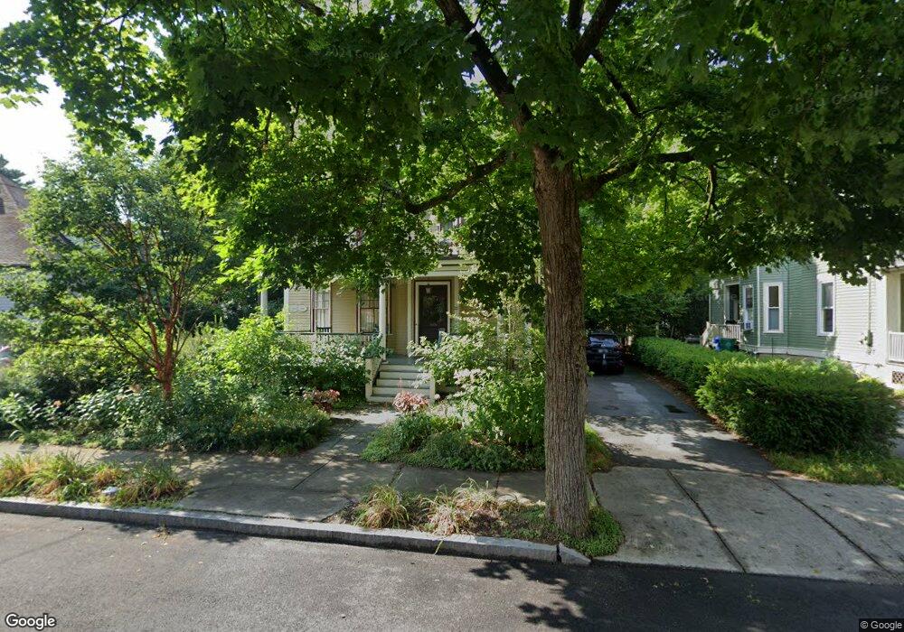
22 Erie Ave Newton Highlands, MA 02461
Newton Highlands NeighborhoodEstimated Value: $1,837,687 - $2,236,000
6
Beds
4
Baths
2,870
Sq Ft
$702/Sq Ft
Est. Value
About This Home
This home is located at 22 Erie Ave, Newton Highlands, MA 02461 and is currently estimated at $2,014,422, approximately $701 per square foot. 22 Erie Ave is a home located in Middlesex County with nearby schools including Zervas Elementary School, Oak Hill Middle School, and Newton South High School.
Ownership History
Date
Name
Owned For
Owner Type
Purchase Details
Closed on
Aug 27, 1998
Sold by
Mead Michael J and Mead Susan W
Bought by
Stuck Garrett and Coravos Pamela
Current Estimated Value
Home Financials for this Owner
Home Financials are based on the most recent Mortgage that was taken out on this home.
Original Mortgage
$488,800
Outstanding Balance
$104,414
Interest Rate
6.9%
Mortgage Type
Purchase Money Mortgage
Estimated Equity
$1,910,008
Purchase Details
Closed on
Aug 5, 1994
Sold by
Mayer Samuel and Mayer Eda A
Bought by
Mead Michael J and Mead Susan W
Home Financials for this Owner
Home Financials are based on the most recent Mortgage that was taken out on this home.
Original Mortgage
$341,100
Interest Rate
8.4%
Mortgage Type
Purchase Money Mortgage
Purchase Details
Closed on
Nov 30, 1993
Sold by
Est Grubaugh Roy H and Jackson Susan Y
Bought by
Mayer Samuel and Mayer Eda A
Home Financials for this Owner
Home Financials are based on the most recent Mortgage that was taken out on this home.
Original Mortgage
$164,500
Interest Rate
6.72%
Mortgage Type
Purchase Money Mortgage
Create a Home Valuation Report for This Property
The Home Valuation Report is an in-depth analysis detailing your home's value as well as a comparison with similar homes in the area
Home Values in the Area
Average Home Value in this Area
Purchase History
| Date | Buyer | Sale Price | Title Company |
|---|---|---|---|
| Stuck Garrett | $611,000 | -- | |
| Mead Michael J | $379,000 | -- | |
| Mayer Samuel | $235,000 | -- |
Source: Public Records
Mortgage History
| Date | Status | Borrower | Loan Amount |
|---|---|---|---|
| Open | Mayer Samuel | $488,800 | |
| Previous Owner | Mayer Samuel | $25,000 | |
| Previous Owner | Mayer Samuel | $341,100 | |
| Previous Owner | Mayer Samuel | $164,500 |
Source: Public Records
Tax History Compared to Growth
Tax History
| Year | Tax Paid | Tax Assessment Tax Assessment Total Assessment is a certain percentage of the fair market value that is determined by local assessors to be the total taxable value of land and additions on the property. | Land | Improvement |
|---|---|---|---|---|
| 2025 | $15,552 | $1,586,900 | $850,200 | $736,700 |
| 2024 | $15,037 | $1,540,700 | $825,400 | $715,300 |
| 2023 | $14,137 | $1,388,700 | $617,500 | $771,200 |
| 2022 | $13,527 | $1,285,800 | $571,800 | $714,000 |
| 2021 | $13,052 | $1,213,000 | $539,400 | $673,600 |
| 2020 | $12,664 | $1,213,000 | $539,400 | $673,600 |
| 2019 | $12,307 | $1,177,700 | $523,700 | $654,000 |
| 2018 | $11,774 | $1,088,200 | $474,000 | $614,200 |
| 2017 | $11,416 | $1,026,600 | $447,200 | $579,400 |
| 2016 | $10,918 | $959,400 | $417,900 | $541,500 |
| 2015 | $10,410 | $896,600 | $390,600 | $506,000 |
Source: Public Records
Map
Nearby Homes
- 3 Glenmore Terrace Unit 2
- 1151 Walnut St Unit 205
- 1151 Walnut St Unit 405
- 1151 Walnut St Unit 207
- 1629 Centre St
- 1623-1625 Centre St
- 200 Lincoln St
- 1597 Centre St Unit 1597
- 1597 Centre St
- 1292 Walnut St
- 2 Raeburn Terrace
- 1077 Boylston St
- 17 Circuit Ave Unit 2
- 125 Oakdale Rd
- 35 Kingston Rd
- 671 Boylston St
- 250 Woodcliff Rd
- 120 Stanley Rd
- 956 Walnut St Unit 4
- 956 Walnut St Unit 7
- 30 Erie Ave
- 28 Erie Ave
- 28 Erie Ave Unit 28
- 28 Erie Ave Unit Ave
- 59 Hartford St
- 36 Erie Ave
- 36 Erie Ave Unit 36
- 14 Erie Ave
- 18 Erie Ave Unit 2
- 51 Hartford St Unit 4
- 51 Hartford St Unit 2
- 51 Hartford St Unit 1
- 63 Hartford St Unit 65
- 34 Erie Ave
- 34 Erie Ave Unit 36
- 71 Hartford St
- 7 Erie Ave
- 44 Erie Ave
- 56 Hartford St
- 70 Hartford St