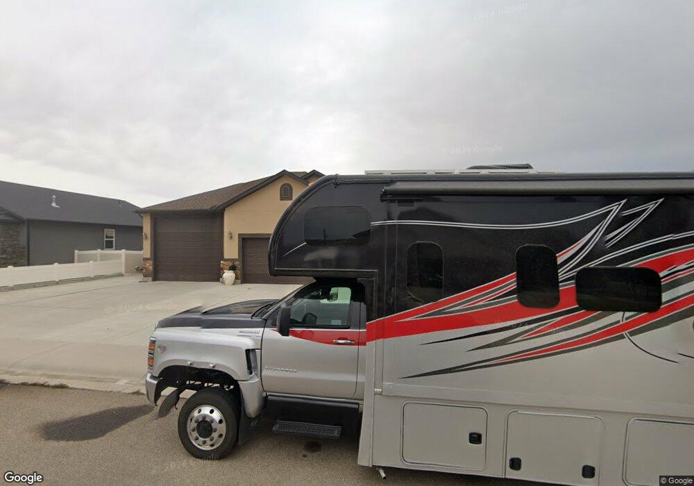
22 Fairway Dr Rock Springs, WY 82901
Estimated Value: $405,000 - $474,051
3
Beds
2
Baths
1,403
Sq Ft
$308/Sq Ft
Est. Value
About This Home
This home is located at 22 Fairway Dr, Rock Springs, WY 82901 and is currently estimated at $432,350, approximately $308 per square foot. 22 Fairway Dr is a home with nearby schools including Northpark Elementary School, Rock Springs Junior High School, and Rock Springs High School.
Ownership History
Date
Name
Owned For
Owner Type
Purchase Details
Closed on
Feb 25, 2021
Sold by
Anderson Deon R and Anderson Ethel V
Bought by
Deon And Ethel Anderson Family Trust
Current Estimated Value
Purchase Details
Closed on
Mar 14, 2013
Sold by
Mainline Construction Inc
Bought by
Anderson Deon R and Anderson Ethel V
Home Financials for this Owner
Home Financials are based on the most recent Mortgage that was taken out on this home.
Original Mortgage
$243,760
Interest Rate
3.57%
Mortgage Type
New Conventional
Create a Home Valuation Report for This Property
The Home Valuation Report is an in-depth analysis detailing your home's value as well as a comparison with similar homes in the area
Home Values in the Area
Average Home Value in this Area
Purchase History
| Date | Buyer | Sale Price | Title Company |
|---|---|---|---|
| Deon And Ethel Anderson Family Trust | -- | None Listed On Document | |
| Anderson Deon R | $304,700 | -- |
Source: Public Records
Mortgage History
| Date | Status | Borrower | Loan Amount |
|---|---|---|---|
| Previous Owner | Anderson Deon R | $243,760 |
Source: Public Records
Tax History Compared to Growth
Tax History
| Year | Tax Paid | Tax Assessment Tax Assessment Total Assessment is a certain percentage of the fair market value that is determined by local assessors to be the total taxable value of land and additions on the property. | Land | Improvement |
|---|---|---|---|---|
| 2025 | $2,740 | $26,027 | $5,187 | $20,840 |
| 2024 | $2,740 | $35,611 | $6,650 | $28,961 |
| 2023 | $2,629 | $34,866 | $6,650 | $28,216 |
| 2022 | $2,486 | $32,678 | $6,650 | $26,028 |
| 2021 | $2,432 | $31,890 | $6,650 | $25,240 |
| 2020 | $2,396 | $31,447 | $6,650 | $24,797 |
| 2019 | $2,364 | $31,259 | $6,650 | $24,609 |
| 2018 | $2,301 | $30,366 | $6,650 | $23,716 |
| 2017 | $2,297 | $30,182 | $6,650 | $23,532 |
| 2015 | -- | $28,707 | $0 | $0 |
| 2014 | -- | $28,016 | $0 | $0 |
Source: Public Records
Map
Nearby Homes
- 0 Yellowstone Rd
- TBD Yellowstone Rd
- 363 Turret Dr
- 2851 Mustang Dr
- 3716 Harrier Dr
- 6045 Wild Buffalo Ct
- 2711 Yellowstone
- 22 Moses Dr
- 2000 Mineral Dr
- 1021 Maple Way
- 124 White Mountain Dr
- 3 Cattle Dr
- 0 Lion Kol Rd
- 16 Cattle Dr
- 1415 Louise Ln
- 2712 Ogden Way
- 1407 Kaye Way
- 2701 Bailey Blvd
- 2504 Bailey
- 506 Jackman Access Rd
