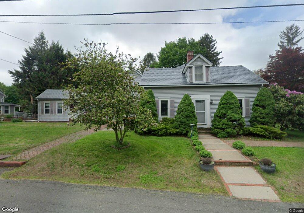
22 Federal St Unit 24 Agawam, MA 01001
Estimated Value: $404,413 - $477,000
4
Beds
4
Baths
2,637
Sq Ft
$165/Sq Ft
Est. Value
About This Home
This home is located at 22 Federal St Unit 24, Agawam, MA 01001 and is currently estimated at $436,353, approximately $165 per square foot. 22 Federal St Unit 24 is a home located in Hampden County with nearby schools including Agawam Junior High School, Agawam High School, and St Thomas The Apostle School.
Ownership History
Date
Name
Owned For
Owner Type
Purchase Details
Closed on
Feb 3, 1987
Sold by
Egan Dennis G
Bought by
Robinson Dorothy
Current Estimated Value
Home Financials for this Owner
Home Financials are based on the most recent Mortgage that was taken out on this home.
Original Mortgage
$40,000
Interest Rate
9.26%
Mortgage Type
Purchase Money Mortgage
Create a Home Valuation Report for This Property
The Home Valuation Report is an in-depth analysis detailing your home's value as well as a comparison with similar homes in the area
Home Values in the Area
Average Home Value in this Area
Purchase History
| Date | Buyer | Sale Price | Title Company |
|---|---|---|---|
| Robinson Dorothy | $112,000 | -- |
Source: Public Records
Mortgage History
| Date | Status | Borrower | Loan Amount |
|---|---|---|---|
| Open | Robinson Dorothy | $35,000 | |
| Closed | Robinson Dorothy | $44,000 | |
| Closed | Robinson Dorothy | $7,380 | |
| Closed | Robinson Dorothy | $40,000 |
Source: Public Records
Tax History Compared to Growth
Tax History
| Year | Tax Paid | Tax Assessment Tax Assessment Total Assessment is a certain percentage of the fair market value that is determined by local assessors to be the total taxable value of land and additions on the property. | Land | Improvement |
|---|---|---|---|---|
| 2025 | $4,661 | $318,400 | $121,500 | $196,900 |
| 2024 | $4,538 | $312,100 | $121,500 | $190,600 |
| 2023 | $4,466 | $283,000 | $115,400 | $167,600 |
| 2022 | $4,343 | $269,600 | $115,400 | $154,200 |
| 2021 | $4,079 | $242,800 | $101,500 | $141,300 |
| 2020 | $3,979 | $236,400 | $99,800 | $136,600 |
| 2019 | $3,843 | $230,800 | $97,600 | $133,200 |
| 2018 | $3,663 | $220,500 | $97,600 | $122,900 |
| 2017 | $3,487 | $213,800 | $97,600 | $116,200 |
| 2016 | $3,459 | $213,800 | $97,600 | $116,200 |
| 2015 | $3,290 | $209,000 | $97,600 | $111,400 |
Source: Public Records
Map
Nearby Homes
- 51 Reed St
- 121 Reed St
- 138 Suffield St
- 11 Stanley Place
- 83 Fairview St
- 31 Colony Rd
- 456 Cold Spring Ave Unit 2A
- 56 Exposition Terrace
- 420 Main St Unit 82
- 420 Main St Unit 71
- 369 Cold Spring Ave
- 354 Rowley St
- 14 Greenacre Ln
- 25 Damato Way
- 335-337 Springfield St
- 64 Woodside Dr
- 44 Spring St
- Lot 10 Ahiska Rd
- 28 Meadow Ave
- 18 Wildflower Ln
- 32 Federal St
- 140 Main St
- 141 Main St
- 22 Vernon St
- 15 Federal St
- 48 Federal St
- 35-37 Federal St
- 80 Colonial Ave
- Lot C Federal St
- Lot B Federal St
- 35 Federal St Unit 37
- 137 Main St
- 45 Federal St
- L52 Spear Farm Rd
- L 38 Kosak Ct
- L 39 Tobacco Farm Rd
- LOT 5 Katy Ln
- LOT15A Lancaster Dr
- LOT 28 Shoemaker Ln
- LOT 56 Strawberry Hill