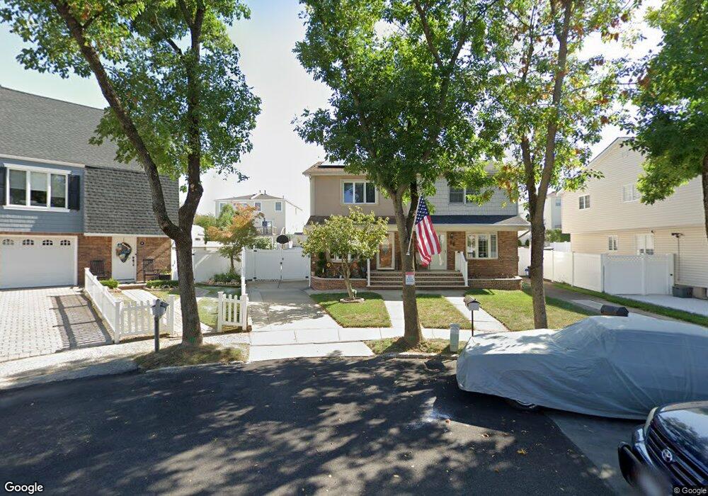
22 Forrestal Ct Staten Island, NY 10312
Arden Heights NeighborhoodEstimated Value: $696,993 - $761,000
3
Beds
3
Baths
1,368
Sq Ft
$526/Sq Ft
Est. Value
About This Home
This home is located at 22 Forrestal Ct, Staten Island, NY 10312 and is currently estimated at $720,248, approximately $526 per square foot. 22 Forrestal Ct is a home located in Richmond County with nearby schools including P.S. 36 - J.C. Drumgoole, I.S. 075 Frank D. Paulo, and Tottenville High School.
Ownership History
Date
Name
Owned For
Owner Type
Purchase Details
Closed on
Dec 14, 2006
Sold by
Colluccio Santo and Colluccio Linda
Bought by
Catanzaro Ignazio and Catanzaro Chrissy Marie
Current Estimated Value
Home Financials for this Owner
Home Financials are based on the most recent Mortgage that was taken out on this home.
Original Mortgage
$245,000
Interest Rate
6.16%
Mortgage Type
Unknown
Create a Home Valuation Report for This Property
The Home Valuation Report is an in-depth analysis detailing your home's value as well as a comparison with similar homes in the area
Home Values in the Area
Average Home Value in this Area
Purchase History
| Date | Buyer | Sale Price | Title Company |
|---|---|---|---|
| Catanzaro Ignazio | $395,000 | First Amer Title Ins Co Ny |
Source: Public Records
Mortgage History
| Date | Status | Borrower | Loan Amount |
|---|---|---|---|
| Previous Owner | Catanzaro Ignazio | $245,000 |
Source: Public Records
Tax History Compared to Growth
Tax History
| Year | Tax Paid | Tax Assessment Tax Assessment Total Assessment is a certain percentage of the fair market value that is determined by local assessors to be the total taxable value of land and additions on the property. | Land | Improvement |
|---|---|---|---|---|
| 2025 | $6,216 | $37,980 | $7,805 | $30,175 |
| 2024 | $6,228 | $38,700 | $7,322 | $31,378 |
| 2023 | $6,062 | $31,248 | $6,840 | $24,408 |
| 2022 | $5,865 | $34,440 | $8,760 | $25,680 |
| 2021 | $5,988 | $31,440 | $8,760 | $22,680 |
| 2020 | $5,673 | $34,740 | $8,760 | $25,980 |
| 2019 | $3,856 | $35,040 | $8,760 | $26,280 |
| 2018 | $5,011 | $26,040 | $8,760 | $17,280 |
| 2017 | $4,935 | $25,680 | $8,760 | $16,920 |
| 2016 | $4,670 | $24,909 | $8,700 | $16,209 |
| 2015 | $4,006 | $23,500 | $6,595 | $16,905 |
| 2014 | $4,006 | $22,464 | $6,522 | $15,942 |
Source: Public Records
Map
Nearby Homes
- 132 Alexander Ave
- 156 Mcarthur Ave
- 56 Mcarthur Ave
- 28 Ibsen Ave
- 135 Mcarthur Ave
- 116 Woehrle Ave
- 68 Erika Loop
- 357 Woodrow Rd
- 226 Annadale Rd
- 53 Ludlow St
- 3 Gold Ave
- 383 Woodrow Rd
- 216 Annadale Rd
- 68 Gold Ave
- 230 Woodrow Rd
- 352 Grantwood Ave
- 774 Barlow Ave
- 16 Cheryl Ave
- 775 Barlow Ave
- 102 Lovelace Ave
- 20 Forrestal Ct
- 26 Forrestal Ct
- 16 Forrestal Ct
- 14 Forrestal Ct
- 154 Mcarthur Ave
- 150 Mcarthur Ave
- 28 Forrestal Ct
- 160 Mcarthur Ave
- 148 Mcarthur Ave
- 162 Mcarthur Ave
- 144 Mcarthur Ave
- 166 Mcarthur Ave
- 32 Forrestal Ct
- 41 Loring Ave
- 37 Loring Ave
- 45 Loring Ave
- 140 Mcarthur Ave
- 168 Mcarthur Ave
- 34 Forrestal Ct
- 29 Forrestal Ct