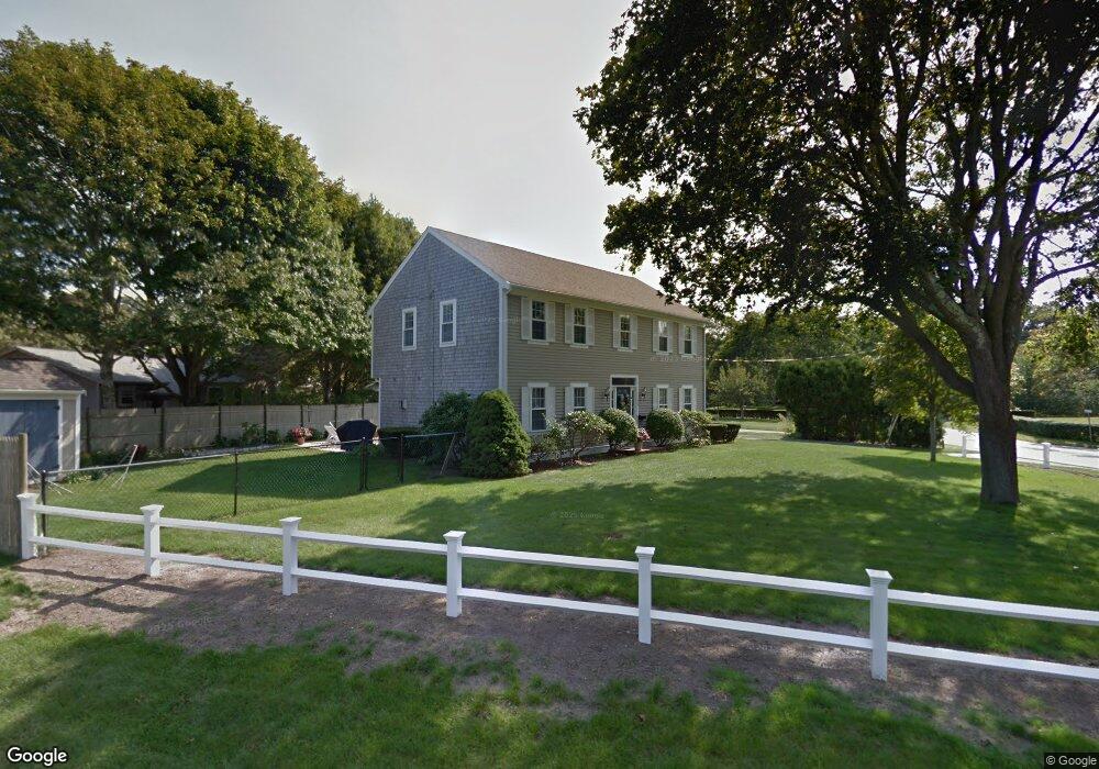
22 Fortaleza Dr East Falmouth, MA 02536
Estimated Value: $632,358 - $727,000
3
Beds
2
Baths
1,840
Sq Ft
$376/Sq Ft
Est. Value
About This Home
This home is located at 22 Fortaleza Dr, East Falmouth, MA 02536 and is currently estimated at $692,590, approximately $376 per square foot. 22 Fortaleza Dr is a home located in Barnstable County with nearby schools including East Falmouth Elementary School, Morse Pond School, and Lawrence School.
Ownership History
Date
Name
Owned For
Owner Type
Purchase Details
Closed on
Apr 29, 2022
Sold by
Domingos Eva M and Domingos Joaquim M
Bought by
Domingos Ft and Domingos
Current Estimated Value
Purchase Details
Closed on
Feb 28, 1986
Bought by
Domingos Joaquim M and Domingos Eva M
Create a Home Valuation Report for This Property
The Home Valuation Report is an in-depth analysis detailing your home's value as well as a comparison with similar homes in the area
Home Values in the Area
Average Home Value in this Area
Purchase History
| Date | Buyer | Sale Price | Title Company |
|---|---|---|---|
| Domingos Ft | -- | None Available | |
| Domingos Ft | -- | None Available | |
| Domingos Joaquim M | -- | -- |
Source: Public Records
Mortgage History
| Date | Status | Borrower | Loan Amount |
|---|---|---|---|
| Previous Owner | Domingos Joaquim M | $30,000 | |
| Previous Owner | Domingos Joaquim M | $60,000 | |
| Previous Owner | Domingos Joaquim M | $45,000 |
Source: Public Records
Tax History Compared to Growth
Tax History
| Year | Tax Paid | Tax Assessment Tax Assessment Total Assessment is a certain percentage of the fair market value that is determined by local assessors to be the total taxable value of land and additions on the property. | Land | Improvement |
|---|---|---|---|---|
| 2025 | $3,152 | $536,900 | $157,500 | $379,400 |
| 2024 | $3,060 | $487,300 | $142,500 | $344,800 |
| 2023 | $2,982 | $430,900 | $142,500 | $288,400 |
| 2022 | $2,629 | $326,600 | $89,700 | $236,900 |
| 2021 | $2,312 | $272,000 | $85,800 | $186,200 |
| 2020 | $2,269 | $264,200 | $78,000 | $186,200 |
| 2019 | $2,248 | $262,600 | $78,000 | $184,600 |
| 2018 | $2,171 | $250,100 | $78,000 | $172,100 |
| 2017 | $2,086 | $244,500 | $78,000 | $166,500 |
| 2016 | $2,043 | $244,100 | $78,000 | $166,100 |
| 2015 | $1,999 | $244,100 | $78,000 | $166,100 |
| 2014 | $1,957 | $240,100 | $82,000 | $158,100 |
Source: Public Records
Map
Nearby Homes
- 16 Annette Ave
- 27 Emerald Ln
- 0 Elsies Way Unit 22505181
- 0 Elsies Way Unit 73443603
- 28 Sheila Way
- 14 Old Meeting House Rd
- 45 Green Pond Rd
- 67 Vidal Ave
- 25 Mill Pond Way
- 42 Hanson Cir
- 8 Dylans Way
- 30 Weatherglass Ln
- 35 Old Barnstable Rd
- 87 Acapesket Rd Unit 3B
- 87 Acapesket Rd Unit 3A
- 33 John Parker Rd
- 9 Theroux Dr
- Lot 6 Sailaway Ln
- 28 Fortaleza Dr
- 19 Sao Paulo Dr
- 19 Fortaleza Dr
- 25 Sao Paulo Dr
- 2 Amapa Way
- 6 Amapa Way
- 27 Fortaleza Dr
- 15 Fortaleza Dr
- 36 Matto Grosso Dr
- 11 Sao Paulo Dr
- 34 Fortaleza Dr
- 24 Sao Paulo Dr
- 20 Sao Paulo Dr
- 33 Fortaleza Dr
- 35 Sao Paulo Dr
- 14 Sao Paulo Dr
- 28 Sao Paulo Dr
- 28 Annette Ave
- 505 E Falmouth Hwy
- 23 Annette Ave