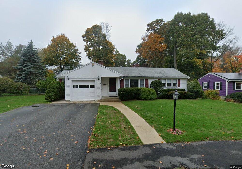
22 Friend St Wakefield, MA 01880
West Side NeighborhoodEstimated Value: $748,063 - $1,091,000
1
Bed
2
Baths
2,569
Sq Ft
$344/Sq Ft
Est. Value
About This Home
This home is located at 22 Friend St, Wakefield, MA 01880 and is currently estimated at $882,766, approximately $343 per square foot. 22 Friend St is a home located in Middlesex County with nearby schools including Wakefield Memorial High School, St Joseph School, and St. Patrick Elementary School.
Ownership History
Date
Name
Owned For
Owner Type
Purchase Details
Closed on
Jul 10, 2024
Sold by
Alden Jane A
Bought by
Alden Ft and Alden
Current Estimated Value
Purchase Details
Closed on
Jun 9, 1972
Bought by
Alden Charles E and Alden Jane A
Create a Home Valuation Report for This Property
The Home Valuation Report is an in-depth analysis detailing your home's value as well as a comparison with similar homes in the area
Home Values in the Area
Average Home Value in this Area
Purchase History
| Date | Buyer | Sale Price | Title Company |
|---|---|---|---|
| Alden Ft | -- | None Available | |
| Alden Ft | -- | None Available | |
| Alden Charles E | -- | -- |
Source: Public Records
Mortgage History
| Date | Status | Borrower | Loan Amount |
|---|---|---|---|
| Previous Owner | Alden Charles E | $65,000 |
Source: Public Records
Tax History Compared to Growth
Tax History
| Year | Tax Paid | Tax Assessment Tax Assessment Total Assessment is a certain percentage of the fair market value that is determined by local assessors to be the total taxable value of land and additions on the property. | Land | Improvement |
|---|---|---|---|---|
| 2025 | $8,215 | $723,800 | $389,900 | $333,900 |
| 2024 | $7,903 | $702,500 | $378,400 | $324,100 |
| 2023 | $7,632 | $650,600 | $350,400 | $300,200 |
| 2022 | $7,286 | $591,400 | $318,500 | $272,900 |
| 2021 | $6,882 | $540,600 | $295,900 | $244,700 |
| 2020 | $6,619 | $518,300 | $283,700 | $234,600 |
| 2019 | $6,419 | $500,300 | $273,900 | $226,400 |
| 2018 | $6,075 | $469,100 | $256,800 | $212,300 |
| 2017 | $5,822 | $446,800 | $244,600 | $202,200 |
| 2016 | $5,690 | $421,800 | $226,100 | $195,700 |
| 2015 | $5,315 | $394,300 | $211,300 | $183,000 |
| 2014 | $4,885 | $382,200 | $204,800 | $177,400 |
Source: Public Records
Map
Nearby Homes
- 40 Friend St
- 4 Adams St
- 90 Prospect St
- 4 Mcdonald Farm Rd
- 26 Curve St
- 114 Parker Rd
- 1 Summit Dr Unit 57
- 10 Converse St
- 2 Summit Dr Unit 18
- 97 Macarthur Rd
- 34 Cedar St
- 20 N Emerson St Unit 20
- 47 Emerson St
- 10 Wolcott St
- 6 Avon Ct Unit 2
- 5 Byron St
- 40 Main St Unit 505
- 64 Main St Unit 41B
- 7 Leaning Elm Dr Unit 7
- 62 High St Unit 4