22 Friendship Farm Ln Little Compton, RI 02837
Estimated Value: $1,171,000 - $1,861,000
3
Beds
3
Baths
2,700
Sq Ft
$539/Sq Ft
Est. Value
About This Home
This home is located at 22 Friendship Farm Ln, Little Compton, RI 02837 and is currently estimated at $1,455,026, approximately $538 per square foot. 22 Friendship Farm Ln is a home located in Newport County with nearby schools including Wilbur & McMahon School.
Ownership History
Date
Name
Owned For
Owner Type
Purchase Details
Closed on
Jan 19, 2017
Sold by
Murphy Robert and Murphy Jeanne
Bought by
Murphy Robert
Current Estimated Value
Purchase Details
Closed on
Apr 24, 2007
Sold by
Deutsche Bank Natl T C
Bought by
Murphy Robert and Murphy Jeanne
Purchase Details
Closed on
Aug 16, 2002
Sold by
Lsf Realty Corp
Bought by
Camara Robert D
Home Financials for this Owner
Home Financials are based on the most recent Mortgage that was taken out on this home.
Original Mortgage
$112,500
Interest Rate
6.61%
Create a Home Valuation Report for This Property
The Home Valuation Report is an in-depth analysis detailing your home's value as well as a comparison with similar homes in the area
Home Values in the Area
Average Home Value in this Area
Purchase History
| Date | Buyer | Sale Price | Title Company |
|---|---|---|---|
| Murphy Robert | -- | -- | |
| Murphy Robert | $600,000 | -- | |
| Camara Robert D | $150,000 | -- |
Source: Public Records
Mortgage History
| Date | Status | Borrower | Loan Amount |
|---|---|---|---|
| Previous Owner | Camara Robert D | $900,000 | |
| Previous Owner | Camara Robert D | $650,000 | |
| Previous Owner | Camara Robert D | $112,500 |
Source: Public Records
Tax History Compared to Growth
Tax History
| Year | Tax Paid | Tax Assessment Tax Assessment Total Assessment is a certain percentage of the fair market value that is determined by local assessors to be the total taxable value of land and additions on the property. | Land | Improvement |
|---|---|---|---|---|
| 2025 | $5,309 | $1,108,300 | $292,300 | $816,000 |
| 2024 | $5,161 | $1,015,900 | $230,400 | $785,500 |
| 2023 | $5,039 | $1,015,900 | $230,400 | $785,500 |
| 2022 | $4,978 | $1,015,900 | $230,400 | $785,500 |
| 2021 | $4,216 | $698,000 | $194,000 | $504,000 |
| 2020 | $4,181 | $698,000 | $194,000 | $504,000 |
| 2019 | $4,139 | $698,000 | $194,000 | $504,000 |
| 2018 | $3,998 | $670,800 | $201,800 | $469,000 |
| 2016 | $3,803 | $670,800 | $201,800 | $469,000 |
| 2015 | $3,905 | $679,100 | $210,100 | $469,000 |
| 2014 | $3,830 | $679,100 | $210,100 | $469,000 |
Source: Public Records
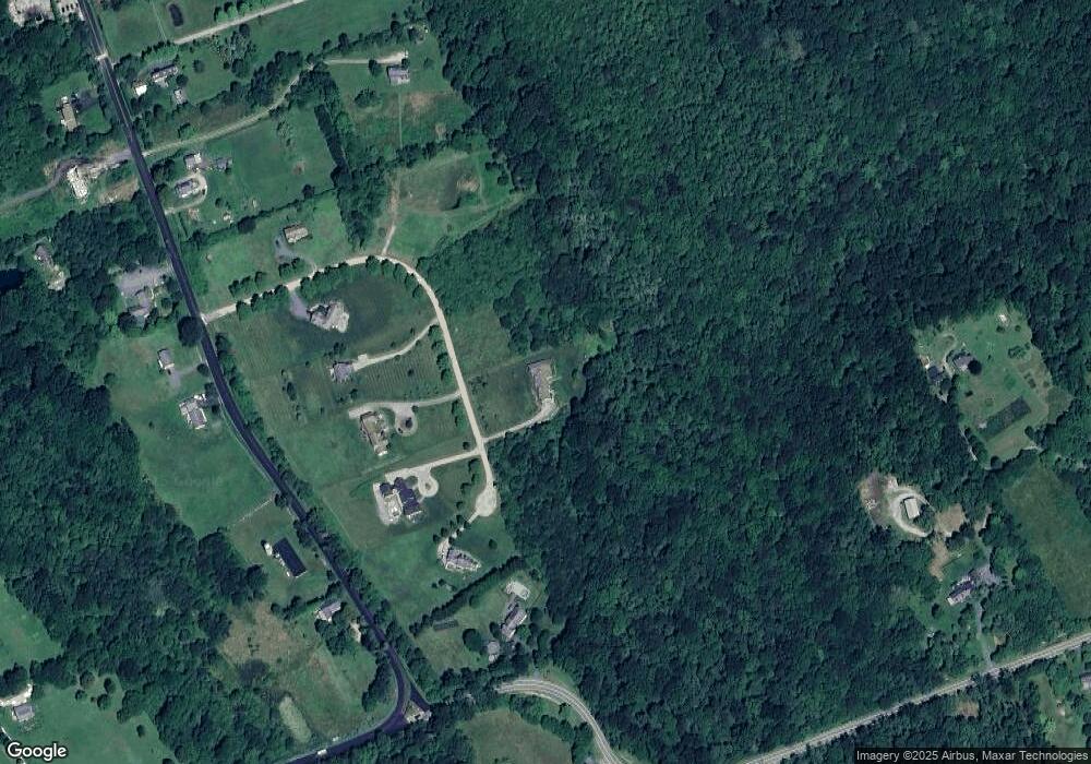
Map
Nearby Homes
- 0 Willow Ave
- 505 Long Hwy
- 255 John Dyer Rd
- 128 Maple Ave
- 245 John Dyer Rd
- 141 S Of Commons Rd
- 83 Long Hwy
- 180 W Main Rd
- 116 Amy Hart Path
- 19 Seabury Ln
- 18 Old Barn Rd
- 536 W Main Rd
- 189 Brayton Point Rd
- 155 W Main Rd
- 90 Two Rod Rd
- 17 Ferolbink Way
- 441 W Main Rd
- 304 Brayton Point Rd
- 55 W Main Rd
- 6 June Way
- 14 Friendship Farm Ln
- 0 Friendship Farm Ln
- 23 Friendship Farm Ln
- 21 Friendship Farm Ln
- 18 Friendship Farm Ln
- 17 Friendship Farm Ln
- 27 Friendship Farm Ln
- 3 Friendship Farm Ln
- 26 Friendship Farm Ln
- 65 Snell Rd
- 4 Friendship Farm Ln
- 139 E Main Rd
- 10 Friendship Farm Ln
- 100 E Main Rd
- 125 E Main Rd
- 119 E Main Rd
- 25 Snell Rd
- 102 E Main Rd
- 21 Snell Rd
- 60 Snell Rd