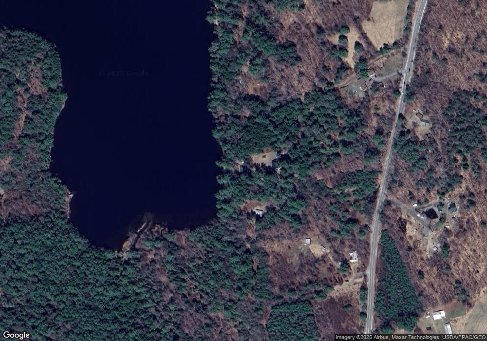
22 Gilmore Rd Wilton, ME 04294
Estimated Value: $211,000 - $367,000
2
Beds
--
Bath
700
Sq Ft
$393/Sq Ft
Est. Value
About This Home
This home is located at 22 Gilmore Rd, Wilton, ME 04294 and is currently estimated at $275,059, approximately $392 per square foot. 22 Gilmore Rd is a home with nearby schools including Mt. Blue High School.
Ownership History
Date
Name
Owned For
Owner Type
Purchase Details
Closed on
Dec 30, 2010
Sold by
Blanchet Michael W and Blanchet Renee M
Bought by
Bernard Eric
Current Estimated Value
Purchase Details
Closed on
Nov 28, 2006
Sold by
Haggan Howard C and Haggan June K
Bought by
Blanchet Michael W and Blanchet Renee M
Home Financials for this Owner
Home Financials are based on the most recent Mortgage that was taken out on this home.
Original Mortgage
$137,400
Interest Rate
6.39%
Mortgage Type
Purchase Money Mortgage
Create a Home Valuation Report for This Property
The Home Valuation Report is an in-depth analysis detailing your home's value as well as a comparison with similar homes in the area
Home Values in the Area
Average Home Value in this Area
Purchase History
| Date | Buyer | Sale Price | Title Company |
|---|---|---|---|
| Bernard Eric | -- | -- | |
| Blanchet Michael W | -- | -- |
Source: Public Records
Mortgage History
| Date | Status | Borrower | Loan Amount |
|---|---|---|---|
| Previous Owner | Blanchet Michael W | $137,400 |
Source: Public Records
Tax History Compared to Growth
Tax History
| Year | Tax Paid | Tax Assessment Tax Assessment Total Assessment is a certain percentage of the fair market value that is determined by local assessors to be the total taxable value of land and additions on the property. | Land | Improvement |
|---|---|---|---|---|
| 2024 | $3,505 | $164,568 | $59,680 | $104,888 |
| 2023 | $3,357 | $164,568 | $59,680 | $104,888 |
| 2022 | $2,632 | $135,659 | $59,680 | $75,979 |
| 2021 | $2,632 | $135,659 | $59,680 | $75,979 |
| 2020 | $2,713 | $135,659 | $59,680 | $75,979 |
| 2019 | $2,713 | $135,659 | $59,680 | $75,979 |
| 2018 | $13,878 | $135,659 | $59,680 | $75,979 |
| 2017 | $2,036 | $98,589 | $59,680 | $38,909 |
| 2016 | $1,646 | $79,702 | $59,680 | $20,022 |
| 2015 | $1,815 | $96,800 | $64,500 | $32,300 |
| 2014 | $2,157 | $124,300 | $64,500 | $59,800 |
| 2013 | $1,643 | $101,100 | $64,500 | $36,600 |
Source: Public Records
Map
Nearby Homes
- 775 U S 2
- 294 Depot St
- 28//36&37 Us Route 2 & 4
- M16 L12 Maine 4
- 206 Livermore Falls Rd
- 1022 Main St
- US RT 2E Us Routes 2 & 4
- 122 Prospect St
- 46 Webb Ave
- MR04 L10-A Maine 133
- 15 Highland Ave
- Map5 L30-8 Knowlton Corner Rd
- 60 Rolling Ridge
- 2 Prospect St
- 127 Meadow Ln
- 5 Prospect St
- 42 Fernald St
- 2 Gilbert St S
- 55 Woodland Ave
- 269 Weld Rd
- 36 Cottage Rd
- 19 Gilmore Rd
- 38 Cottage Rd
- 24 Stoney Fields Rd
- 30 Stoney Fields Rd
- 30 Stoney Fields Rd
- 21 Gilmore Rd
- 28 Stoney Fields Rd
- 100 Route 133
- 130 Route 133
- 132 Maine 133
- 132 Route 133
- 34 Stoney Fields Rd
- 40 Stoney Fields Rd
- 131 Route 133
- 113 Route 133
- 50 Stoney Fields Rd
- 61 Scribner Ln
- 140 Russell Rd
- 75 Route 133
