22 Green Way Wayland, MA 01778
Estimated Value: $285,000 - $725,000
4
Beds
3
Baths
1,976
Sq Ft
$261/Sq Ft
Est. Value
About This Home
This home is located at 22 Green Way, Wayland, MA 01778 and is currently estimated at $516,306, approximately $261 per square foot. 22 Green Way is a home located in Middlesex County with nearby schools including Wayland High School and Veritas Christian Academy.
Ownership History
Date
Name
Owned For
Owner Type
Purchase Details
Closed on
Mar 29, 2000
Sold by
Mes-Wayland Res Dev
Bought by
Mcmillian Daria H
Current Estimated Value
Home Financials for this Owner
Home Financials are based on the most recent Mortgage that was taken out on this home.
Original Mortgage
$80,000
Outstanding Balance
$27,743
Interest Rate
8.4%
Mortgage Type
Purchase Money Mortgage
Estimated Equity
$488,563
Create a Home Valuation Report for This Property
The Home Valuation Report is an in-depth analysis detailing your home's value as well as a comparison with similar homes in the area
Home Values in the Area
Average Home Value in this Area
Purchase History
| Date | Buyer | Sale Price | Title Company |
|---|---|---|---|
| Mcmillian Daria H | $100,000 | -- |
Source: Public Records
Mortgage History
| Date | Status | Borrower | Loan Amount |
|---|---|---|---|
| Open | Mcmillian Daria H | $80,000 |
Source: Public Records
Tax History Compared to Growth
Tax History
| Year | Tax Paid | Tax Assessment Tax Assessment Total Assessment is a certain percentage of the fair market value that is determined by local assessors to be the total taxable value of land and additions on the property. | Land | Improvement |
|---|---|---|---|---|
| 2025 | $2,964 | $189,648 | $0 | $189,648 |
| 2024 | $2,636 | $169,873 | $0 | $169,873 |
| 2023 | $2,348 | $141,000 | $0 | $141,000 |
| 2022 | $2,587 | $141,000 | $0 | $141,000 |
| 2021 | $2,611 | $141,000 | $0 | $141,000 |
| 2020 | $2,650 | $149,200 | $0 | $149,200 |
| 2019 | $2,811 | $153,800 | $0 | $153,800 |
| 2018 | $0 | $144,800 | $0 | $144,800 |
| 2017 | $2,534 | $139,700 | $0 | $139,700 |
| 2016 | $2,424 | $139,800 | $0 | $139,800 |
| 2015 | $2,549 | $138,600 | $0 | $138,600 |
Source: Public Records
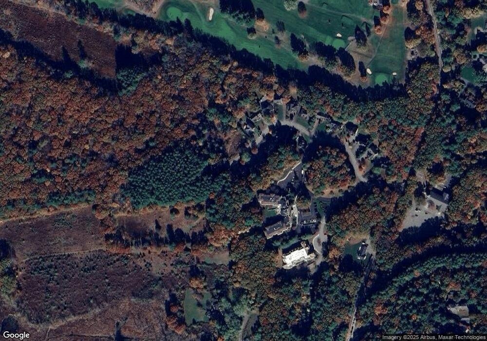
Map
Nearby Homes
- 17 Hastings Way Unit 17
- 156 Boston Post Rd
- 9 River Rock Way Unit 9
- 1601 Wisteria Way
- 10 Hayward Rd
- 262 Cochituate Rd
- 14 Lundy Ln
- 606 Wisteria Way
- 22 Lakeshore Dr
- 31 White Rd
- 125 Woodridge Rd
- 19 Old Connecticut Path
- 353 Old Connecticut Path
- 17 Glezen Ln
- 12 Astra
- 1 Astra Unit 1
- 26 Dudley Rd
- 24 Claypit Hill Rd
- 8 Fox Hollow
- 108 Dudley Rd
- 20 Green Way
- 18 Green Way
- 23 Green Way
- 21 Green Way
- 14 Green Way
- 17 Green Way
- 15 Green Way
- 13 Green Way
- 6 Green Way Unit 308
- 6 Green Way Unit 307
- 6 Green Way Unit 306
- 6 Green Way Unit 304
- 6 Green Way Unit 303
- 6 Green Way Unit 302
- 6 Green Way Unit 301
- 6 Green Way Unit 208
- 6 Green Way Unit 207
- 6 Green Way Unit 206
- 6 Green Way Unit 205
- 6 Green Way Unit 204