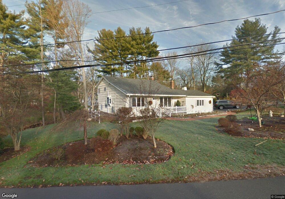
22 Guyer Rd Westport, CT 06880
Compo NeighborhoodEstimated Value: $874,000 - $1,110,000
3
Beds
3
Baths
1,080
Sq Ft
$913/Sq Ft
Est. Value
About This Home
This home is located at 22 Guyer Rd, Westport, CT 06880 and is currently estimated at $986,176, approximately $913 per square foot. 22 Guyer Rd is a home located in Fairfield County with nearby schools including Saugatuck Elementary School, Bedford Middle School, and Staples High School.
Ownership History
Date
Name
Owned For
Owner Type
Purchase Details
Closed on
Sep 17, 1993
Sold by
Dime Sb Ny
Bought by
Panozzo Piera
Current Estimated Value
Home Financials for this Owner
Home Financials are based on the most recent Mortgage that was taken out on this home.
Original Mortgage
$160,000
Interest Rate
7.16%
Mortgage Type
Unknown
Purchase Details
Closed on
Sep 22, 1988
Sold by
Fuchs Dietman
Bought by
Meskin Marrk
Create a Home Valuation Report for This Property
The Home Valuation Report is an in-depth analysis detailing your home's value as well as a comparison with similar homes in the area
Home Values in the Area
Average Home Value in this Area
Purchase History
| Date | Buyer | Sale Price | Title Company |
|---|---|---|---|
| Panozzo Piera | $267,500 | -- | |
| Panozzo Piera | $267,500 | -- | |
| Meskin Marrk | $295,000 | -- |
Source: Public Records
Mortgage History
| Date | Status | Borrower | Loan Amount |
|---|---|---|---|
| Open | Meskin Marrk | $250,000 | |
| Closed | Meskin Marrk | $50,100 | |
| Closed | Meskin Marrk | $137,713 | |
| Closed | Meskin Marrk | $160,000 |
Source: Public Records
Tax History
| Year | Tax Paid | Tax Assessment Tax Assessment Total Assessment is a certain percentage of the fair market value that is determined by local assessors to be the total taxable value of land and additions on the property. | Land | Improvement |
|---|---|---|---|---|
| 2025 | $7,425 | $393,700 | $287,300 | $106,400 |
| 2024 | $7,331 | $393,700 | $287,300 | $106,400 |
| 2023 | $7,224 | $393,700 | $287,300 | $106,400 |
| 2022 | $7,114 | $393,700 | $287,300 | $106,400 |
| 2021 | $10,991 | $393,700 | $287,300 | $106,400 |
| 2020 | $7,159 | $446,500 | $303,500 | $143,000 |
| 2019 | $7,503 | $445,000 | $303,500 | $141,500 |
| 2018 | $7,503 | $445,000 | $303,500 | $141,500 |
| 2017 | $10,343 | $445,000 | $303,500 | $141,500 |
| 2016 | $7,503 | $445,000 | $303,500 | $141,500 |
| 2015 | $6,901 | $381,500 | $257,300 | $124,200 |
| 2014 | $6,844 | $381,500 | $257,300 | $124,200 |
Source: Public Records
Map
Nearby Homes
- 7 Hale St
- 24 Edgemarth Hill Rd
- 49 Hillspoint Rd
- 5 Inwood Ln
- 123 Greens Farms Rd
- 150 Hillspoint Rd
- 69 Grove Point
- 11 Dogwood Ln
- 5 Over Rock Ln
- 102 Compo Rd S
- 25 Ellery Ln
- 21 Rayfield Rd
- 9 Pond Edge Rd
- 5 Franklin Ave
- 3 Laurel Ln
- 23 Bridge St
- 32 Narrow Rocks Rd
- 24 Compo Pkwy
- 9 Crescent Park Rd
- 781 Post Rd E Unit 104
Your Personal Tour Guide
Ask me questions while you tour the home.