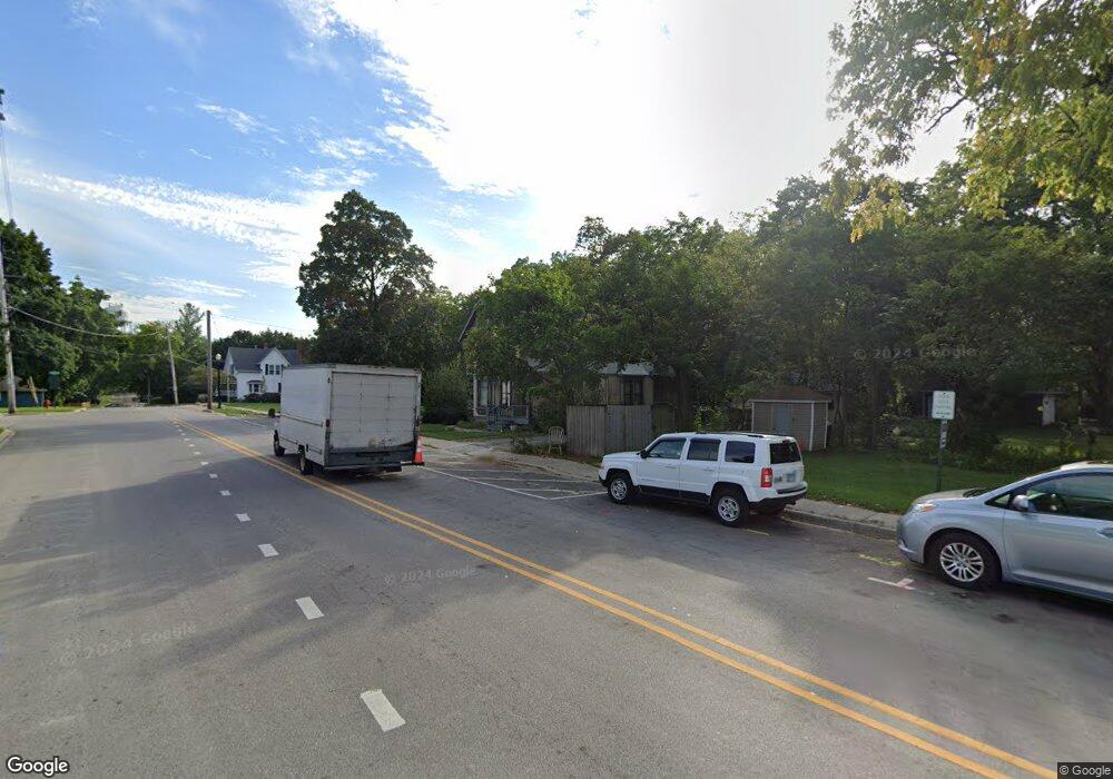
Estimated Value: $664,048
3
Beds
2
Baths
1,582
Sq Ft
$420/Sq Ft
Est. Value
About This Home
This home is located at 22 High Rd, Cary, IL 60013 and is currently estimated at $664,048, approximately $419 per square foot. 22 High Rd is a home located in McHenry County with nearby schools including Briargate Elementary School, Cary Jr High School, and Cary-Grove High School.
Ownership History
Date
Name
Owned For
Owner Type
Purchase Details
Closed on
Sep 18, 2025
Sold by
Trandel Hollie A and Kelps Holly
Bought by
Trandel Declaration Of Trust and Trandel
Current Estimated Value
Purchase Details
Closed on
Sep 18, 2003
Sold by
22 High Road Llc
Bought by
Kelps Holly
Home Financials for this Owner
Home Financials are based on the most recent Mortgage that was taken out on this home.
Original Mortgage
$291,750
Interest Rate
7.5%
Mortgage Type
Seller Take Back
Purchase Details
Closed on
Jul 18, 2002
Sold by
Pradelski Robert E and Pradelski Cheryl A
Bought by
22 High Road Llc
Purchase Details
Closed on
Dec 5, 1994
Sold by
Harris Bank Palatine
Bought by
Pradelski Robert E and Pradelski Cheryl A
Create a Home Valuation Report for This Property
The Home Valuation Report is an in-depth analysis detailing your home's value as well as a comparison with similar homes in the area
Home Values in the Area
Average Home Value in this Area
Purchase History
| Date | Buyer | Sale Price | Title Company |
|---|---|---|---|
| Trandel Declaration Of Trust | -- | None Listed On Document | |
| Kelps Holly | $389,000 | Ht | |
| 22 High Road Llc | -- | -- | |
| Pradelski Robert E | $150,000 | Intercounty Title |
Source: Public Records
Mortgage History
| Date | Status | Borrower | Loan Amount |
|---|---|---|---|
| Previous Owner | Kelps Holly | $291,750 |
Source: Public Records
Tax History
| Year | Tax Paid | Tax Assessment Tax Assessment Total Assessment is a certain percentage of the fair market value that is determined by local assessors to be the total taxable value of land and additions on the property. | Land | Improvement |
|---|---|---|---|---|
| 2024 | $5,122 | $60,821 | $16,600 | $44,221 |
| 2023 | $9,031 | $97,564 | $35,660 | $61,904 |
| 2022 | $8,245 | $88,054 | $32,184 | $55,870 |
| 2021 | $7,893 | $82,033 | $29,983 | $52,050 |
| 2020 | $7,678 | $79,129 | $28,922 | $50,207 |
| 2019 | $7,549 | $75,736 | $27,682 | $48,054 |
| 2018 | $7,158 | $69,964 | $25,572 | $44,392 |
| 2017 | $7,054 | $65,910 | $24,090 | $41,820 |
| 2016 | $7,038 | $61,817 | $22,594 | $39,223 |
| 2013 | -- | $57,667 | $21,077 | $36,590 |
Source: Public Records
Map
Nearby Homes
- 321 Cold Spring St
- 341 Cold Spring St
- 331 Cold Spring St
- 371 Cold Spring St
- Lots 2,3,4 Northwest Hwy
- 103 S Seebert St Unit 1
- 418 Glen Garry Rd
- 330 Park Ave
- 124 E Main St
- 128 E Main St
- 26 Wagner Dr
- 145 Sherwood Dr
- 47 Sunset Dr
- 550 Norman Dr
- 461 W Oriole Trail
- 204 Country Commons Rd
- 2016 Grove Ln
- 386 Copper Canyon Trail
- 256 Haber Ct
- 413 Haber Rd Unit 5
- 104 High Rd
- 16 High St Unit 2
- 14 High Rd
- 13 High Rd
- 215 W Main St
- 19 High Rd Unit 23
- 203 W Main St
- 135 Cary St
- 113 Charlotte Ct Unit 113
- 109 Charlotte Ct Unit 109
- 93 Charlotte Ct Unit 93
- 97 Charlotte Ct Unit 97
- 105 Charlotte Ct Unit 105
- 221 W Main St
- 114 High Rd
- 114 High Rd Unit 2
- 124 Cary St
- 131 Cary St
- 225 W Main St
- 225 W Main St Unit A
