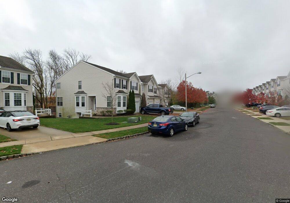
22 Highgrove Ct Unit 2 West Deptford, NJ 08086
West Deptford Township NeighborhoodEstimated Value: $336,093 - $374,000
3
Beds
3
Baths
1,791
Sq Ft
$199/Sq Ft
Est. Value
About This Home
This home is located at 22 Highgrove Ct Unit 2, West Deptford, NJ 08086 and is currently estimated at $355,523, approximately $198 per square foot. 22 Highgrove Ct Unit 2 is a home located in Gloucester County with nearby schools including Green-Fields Elementary School, Oakview Elementary School, and Red Bank Elementary School.
Ownership History
Date
Name
Owned For
Owner Type
Purchase Details
Closed on
Jul 23, 2010
Sold by
Zaleski Robert W and Zaleski Rachael C
Bought by
Kelk Diane H
Current Estimated Value
Home Financials for this Owner
Home Financials are based on the most recent Mortgage that was taken out on this home.
Original Mortgage
$150,000
Outstanding Balance
$99,227
Interest Rate
4.63%
Mortgage Type
New Conventional
Estimated Equity
$256,296
Purchase Details
Closed on
May 31, 2006
Sold by
Inc-Nj D R Horton
Bought by
Zaleski Rachael C and Zaleski Robert W
Home Financials for this Owner
Home Financials are based on the most recent Mortgage that was taken out on this home.
Original Mortgage
$203,796
Interest Rate
6.62%
Mortgage Type
Purchase Money Mortgage
Create a Home Valuation Report for This Property
The Home Valuation Report is an in-depth analysis detailing your home's value as well as a comparison with similar homes in the area
Home Values in the Area
Average Home Value in this Area
Purchase History
| Date | Buyer | Sale Price | Title Company |
|---|---|---|---|
| Kelk Diane H | $228,000 | First American Title Ins Co | |
| Zaleski Rachael C | $226,440 | -- |
Source: Public Records
Mortgage History
| Date | Status | Borrower | Loan Amount |
|---|---|---|---|
| Open | Kelk Diane H | $150,000 | |
| Previous Owner | Zaleski Rachael C | $203,796 |
Source: Public Records
Tax History Compared to Growth
Tax History
| Year | Tax Paid | Tax Assessment Tax Assessment Total Assessment is a certain percentage of the fair market value that is determined by local assessors to be the total taxable value of land and additions on the property. | Land | Improvement |
|---|---|---|---|---|
| 2025 | $7,256 | $207,800 | $40,000 | $167,800 |
| 2024 | $7,163 | $207,800 | $40,000 | $167,800 |
| 2023 | $7,163 | $207,800 | $40,000 | $167,800 |
| 2022 | $7,088 | $206,600 | $40,000 | $166,600 |
| 2021 | $7,064 | $206,600 | $40,000 | $166,600 |
| 2020 | $7,047 | $206,600 | $40,000 | $166,600 |
| 2019 | $6,851 | $206,600 | $40,000 | $166,600 |
| 2018 | $6,665 | $206,600 | $40,000 | $166,600 |
| 2017 | $6,510 | $206,600 | $40,000 | $166,600 |
| 2016 | $6,328 | $206,600 | $40,000 | $166,600 |
| 2015 | $6,029 | $206,600 | $40,000 | $166,600 |
| 2014 | $5,729 | $206,600 | $40,000 | $166,600 |
Source: Public Records
Map
Nearby Homes
- 115 Lionheart Ln
- 125 Lionheart Ln Unit C125
- 1066 Buckingham Dr
- 16 Maplewood Ct
- 536 Saxon Dr
- 87 Woodway Dr Unit 87
- 863 Doncaster Dr
- 1220 Royal Ln
- 640 Worcester Dr
- 94 Aviary Rd
- 14 Aviary Rd
- 1102 Barnesdale Rd
- 90 Ginger Dr
- 10 Meadow Ln
- 740 Carter Hill Dr
- 296 Ogden Station Rd
- 1311 Barnesdale Rd
- 15 Ash Ave
- 8 Clark Dr
- 1810 Fernwood Dr
- 20 Highgrove Ct
- 24 Highgrove Ct
- 26 Highgrove Ct
- 28 Highgrove Ct Unit 5
- 36 Highgrove Ct
- 34 Highgrove Ct Unit 8
- 32 Highgrove Ct Unit 7
- 30 Highgrove Ct Unit 6
- 23 Highgrove Ct
- 19 Highgrove Ct
- 25 Highgrove Ct
- 37 Highgrove Ct
- 17 Highgrove Ct Unit 22
- 33 Highgrove Ct Unit 14
- 15 Highgrove Ct
- 29 Highgrove Ct Unit 16
- 13 Highgrove Ct
- 27 Highgrove Ct
- 11 Highgrove Ct Unit 25
- 38 Highgrove Ct Unit 10