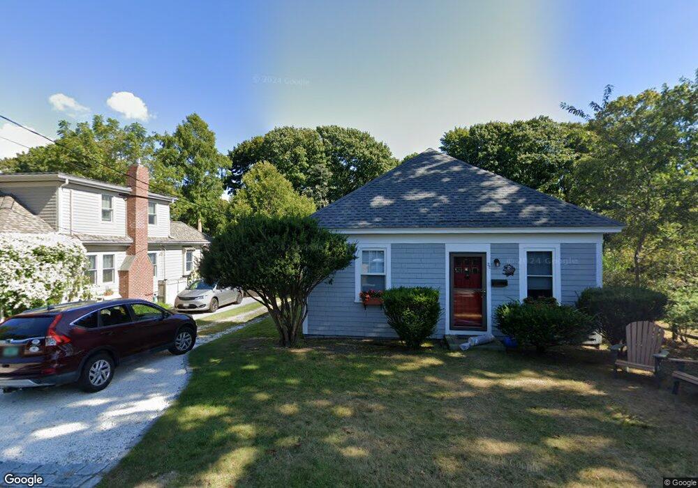
22 Howes Ln Falmouth, MA 02540
Falmouth Village NeighborhoodEstimated Value: $738,339 - $863,000
1
Bed
2
Baths
1,540
Sq Ft
$525/Sq Ft
Est. Value
About This Home
This home is located at 22 Howes Ln, Falmouth, MA 02540 and is currently estimated at $807,835, approximately $524 per square foot. 22 Howes Ln is a home located in Barnstable County with nearby schools including Mullen-Hall School, Lawrence School, and Morse Pond School.
Ownership History
Date
Name
Owned For
Owner Type
Purchase Details
Closed on
Apr 24, 2012
Sold by
Phillips Hannah B
Bought by
Phillips Grinold M
Current Estimated Value
Create a Home Valuation Report for This Property
The Home Valuation Report is an in-depth analysis detailing your home's value as well as a comparison with similar homes in the area
Home Values in the Area
Average Home Value in this Area
Purchase History
| Date | Buyer | Sale Price | Title Company |
|---|---|---|---|
| Phillips Grinold M | -- | -- | |
| Phillips Grinold M | -- | -- |
Source: Public Records
Mortgage History
| Date | Status | Borrower | Loan Amount |
|---|---|---|---|
| Previous Owner | Phillips Grinold M | $100,000 |
Source: Public Records
Tax History Compared to Growth
Tax History
| Year | Tax Paid | Tax Assessment Tax Assessment Total Assessment is a certain percentage of the fair market value that is determined by local assessors to be the total taxable value of land and additions on the property. | Land | Improvement |
|---|---|---|---|---|
| 2025 | $3,374 | $574,800 | $252,000 | $322,800 |
| 2024 | $3,342 | $532,100 | $240,000 | $292,100 |
| 2023 | $3,380 | $488,400 | $240,000 | $248,400 |
| 2022 | $3,123 | $388,000 | $178,500 | $209,500 |
| 2021 | $3,109 | $365,800 | $178,500 | $187,300 |
| 2020 | $3,003 | $349,600 | $162,300 | $187,300 |
| 2019 | $2,904 | $339,300 | $162,300 | $177,000 |
| 2018 | $2,776 | $322,800 | $162,300 | $160,500 |
| 2017 | $2,632 | $308,600 | $162,300 | $146,300 |
| 2016 | $2,583 | $308,600 | $162,300 | $146,300 |
| 2015 | $2,408 | $294,000 | $162,300 | $131,700 |
| 2014 | $2,209 | $271,100 | $140,200 | $130,900 |
Source: Public Records
Map
Nearby Homes
- 30 Katherine Lee Bates Rd
- 33 Oakwood Ave
- 98 Main St
- 98 Main St Unit 1
- 71 Main St
- 65 Walker St
- 110 Dillingham Ave Unit 322
- 480 Main St Unit 1
- 354 Gifford St Unit 5
- 354 Gifford St Unit 2
- 354 Gifford St Unit 6
- 15 Hedge Ln
- 37 Rydal Mount Dr
- 253 Scranton Ave
- 22 Alma Rd
- 55 Jericho Path
- 27 Woodview Dr Unit C
- 27 Woodview Dr Unit C
- 10 Shanks Pond Rd
- 38 Landfall Unit 38
- 16 Howes Ln
- 18 Katherine Lee Bates Rd
- 33 Lakeview Ave
- 9 Katherine Lee Bates Rd
- 62 Lakeview Ave
- 62 Lakeview Ave Unit 66
- 157 Palmer Ave
- 43 Lakeview Ave
- 26 Katharine Lee Bates Rd
- 167 Palmer Ave
- 26 Katherine Lee Bates Rd
- 135 Palmer Ave
- 175 Palmer Ave
- 53 Lakeview Ave
- 34 Lakeview Ave
- 143 Palmer Ave
- 30 Katharine Lee Bates Rd
- 18 Lakeview Ave
- 44 Lakeview Ave
- 28 Lakeview Ave