22 Johns Bay Ln Bristol, ME 04539
Estimated Value: $445,196 - $500,000
--
Bed
--
Bath
--
Sq Ft
0.91
Acres
About This Home
This home is located at 22 Johns Bay Ln, Bristol, ME 04539 and is currently estimated at $472,598. 22 Johns Bay Ln is a home with nearby schools including Bristol Consolidated School.
Ownership History
Date
Name
Owned For
Owner Type
Purchase Details
Closed on
Sep 2, 2016
Sold by
Davis Ft
Bought by
Marshall Elizabeth A and Stolte Corey E
Current Estimated Value
Home Financials for this Owner
Home Financials are based on the most recent Mortgage that was taken out on this home.
Original Mortgage
$194,700
Outstanding Balance
$155,619
Interest Rate
3.45%
Mortgage Type
New Conventional
Estimated Equity
$316,979
Create a Home Valuation Report for This Property
The Home Valuation Report is an in-depth analysis detailing your home's value as well as a comparison with similar homes in the area
Home Values in the Area
Average Home Value in this Area
Purchase History
| Date | Buyer | Sale Price | Title Company |
|---|---|---|---|
| Marshall Elizabeth A | -- | -- |
Source: Public Records
Mortgage History
| Date | Status | Borrower | Loan Amount |
|---|---|---|---|
| Open | Marshall Elizabeth A | $194,700 |
Source: Public Records
Tax History Compared to Growth
Tax History
| Year | Tax Paid | Tax Assessment Tax Assessment Total Assessment is a certain percentage of the fair market value that is determined by local assessors to be the total taxable value of land and additions on the property. | Land | Improvement |
|---|---|---|---|---|
| 2024 | $2,220 | $249,400 | $170,600 | $78,800 |
| 2023 | $1,983 | $249,400 | $170,600 | $78,800 |
| 2022 | $1,796 | $249,400 | $170,600 | $78,800 |
| 2021 | $1,796 | $249,400 | $170,600 | $78,800 |
| 2020 | $1,808 | $249,400 | $170,600 | $78,800 |
| 2019 | $1,683 | $249,400 | $170,600 | $78,800 |
| 2018 | $1,559 | $249,400 | $170,600 | $78,800 |
| 2017 | $1,559 | $249,400 | $170,600 | $78,800 |
| 2016 | $1,421 | $179,900 | $100,000 | $79,900 |
| 2015 | $1,520 | $179,900 | $100,000 | $79,900 |
| 2014 | $1,421 | $179,900 | $100,000 | $79,900 |
| 2013 | $1,385 | $179,900 | $100,000 | $79,900 |
Source: Public Records
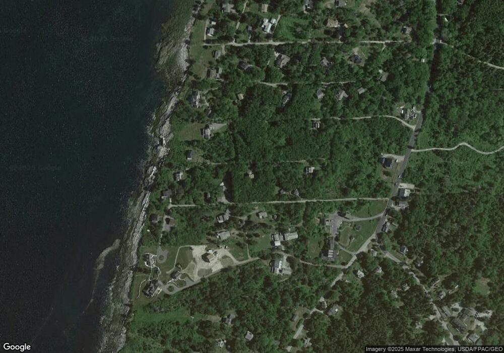
Map
Nearby Homes
- 95 Pumpkin Cove Rd
- 20 Ocean Side Ln
- 49 Seawood Park Rd
- 37 Yellow Head Rd
- Lot 11 Nahanada Rd
- Lot 13 Nahanada Rd
- 165 McFarland Shore Rd
- 1B Old Mill Rd
- 2700 Bristol Rd
- 42 Old Mill Rd
- 45 Old Mill Rd
- M2-L55F Bristol Rd
- 0 McFarland Shore Rd
- 82 Pemaquid Trail
- Lts 23A&24 Birch Island
- 2301 State Route 129
- 2593 Bristol Rd
- 5 Penniman Rd
- 75 Snowball Hill Rd
- 1 Fish Point Rd
- 22 Bay Woods Rd
- 55 Penobscot Rd
- 31 Penobscot Rd
- 00 John's Bay Ln
- 37 Penobscot Rd
- 44 Curtis Rd
- 13 Belle Acqua Ln
- 37 Bay Woods Rd
- 15 Capt James Rd
- 27 Capt James Rd
- 49 Penobscot Rd
- 23 Enterprise Way
- 18 Capt James Rd
- 51 Penobscot Rd
- 50 Penobscot Rd
- 7 Enterprise Way
- 4 Enterprise Way
- 48 Massasoit Rd
- 33 Captain James Rd
- 48 Penobscot Rd