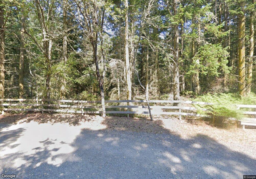
22 Juan de Fuca Rd Port Townsend, WA 98368
Estimated Value: $928,000 - $1,862,120
1
Bed
1
Bath
2,764
Sq Ft
$529/Sq Ft
Est. Value
About This Home
This home is located at 22 Juan de Fuca Rd, Port Townsend, WA 98368 and is currently estimated at $1,460,780, approximately $528 per square foot. 22 Juan de Fuca Rd is a home located in Jefferson County with nearby schools including Salish Coast Elementary School, Blue Heron Middle School, and Port Townsend High School.
Ownership History
Date
Name
Owned For
Owner Type
Purchase Details
Closed on
May 21, 2025
Sold by
Wolf William G and Wolf Nadia R
Bought by
William Wolf Living Trust and Nadia Ruta Wolf Trust
Current Estimated Value
Purchase Details
Closed on
Sep 14, 2020
Sold by
Gillmore James D and Gillmore Kathleen M
Bought by
Wolf William G and Wolf Nadia R
Purchase Details
Closed on
Jul 8, 2005
Sold by
Gilmore James D and Gilmore Kathleen M
Bought by
Gilmore James D and Gilmore Kathleen M
Create a Home Valuation Report for This Property
The Home Valuation Report is an in-depth analysis detailing your home's value as well as a comparison with similar homes in the area
Home Values in the Area
Average Home Value in this Area
Purchase History
| Date | Buyer | Sale Price | Title Company |
|---|---|---|---|
| William Wolf Living Trust | $313 | None Listed On Document | |
| Wolf William G | $1,253,800 | First Amer Ttl Of Jefferson | |
| Gilmore James D | -- | None Available |
Source: Public Records
Tax History Compared to Growth
Tax History
| Year | Tax Paid | Tax Assessment Tax Assessment Total Assessment is a certain percentage of the fair market value that is determined by local assessors to be the total taxable value of land and additions on the property. | Land | Improvement |
|---|---|---|---|---|
| 2024 | $12,014 | $1,442,181 | $555,033 | $887,148 |
| 2023 | $12,014 | $1,377,133 | $519,304 | $857,829 |
| 2022 | $10,455 | $1,264,419 | $484,575 | $779,844 |
| 2021 | $10,149 | $1,091,910 | $454,300 | $637,610 |
| 2020 | $7,807 | $995,166 | $413,000 | $582,166 |
| 2019 | $7,314 | $749,661 | $412,500 | $337,161 |
| 2018 | $7,332 | $749,661 | $412,500 | $337,161 |
| 2017 | $6,896 | $660,496 | $395,850 | $264,646 |
| 2016 | $5,639 | $660,496 | $395,850 | $264,646 |
| 2015 | $5,657 | $564,421 | $330,000 | $234,421 |
| 2014 | -- | $564,421 | $330,000 | $234,421 |
| 2013 | -- | $564,420 | $330,000 | $234,420 |
Source: Public Records
Map
Nearby Homes
- 4490 Albatross St
- 4689 Petrel St
- 2872 Claremont St
- 4511 Trail Crest Dr
- 4637 Trail Crest Dr
- 333 Haada Laas Rd
- 2421 Hastings Ave W
- 1939 49th St
- 2108 Cliff St
- 1042 Crest Ave
- 794 Hidden Trail Rd
- 2422 Cliff St
- 12 xx 48th St
- 1321 54th St
- 0 45th and Cleveland
- 2518 Wonderland Way
- 1642 Lorraine Way
- Horizon Plan at Madrona Ridge
- 1643 Lorraine Way
- 1612 Lorraine Way
- 22 Juan de Fuca Rd
- 33 Rainshadow Dr
- 24 Juan de Fuca Rd
- 35 Rainshadow Dr
- 103 Rainshadow Dr
- 105 Rainshadow Dr
- 812 N Jacob Miller Rd
- 153 Rainshadow Dr
- 132 Juan de Fuca Rd
- 155 Rainshadow Dr
- 770 N Jacob Miller Rd
- 1281 N Jacob Miller Rd
- 223 Rainshadow Dr
- 22 Stillpoint Ln
- 232 Juan de Fuca Rd
- 74 Mahalo Way
- 132 Stillpoint Ln
- 292 Sutter Rd
- 752 N Jacob Miller Rd