Estimated Value: $1,868,577 - $2,289,000
4
Beds
4
Baths
5,052
Sq Ft
$400/Sq Ft
Est. Value
About This Home
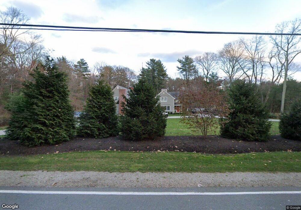
This home is located at 22 Junction St, Dover, MA 02030 and is currently estimated at $2,019,144, approximately $399 per square foot. 22 Junction St is a home located in Norfolk County with nearby schools including Chickering Elementary School, Dover-Sherborn Regional Middle School, and Dover-Sherborn Regional High School.
Ownership History
Date
Name
Owned For
Owner Type
Purchase Details
Closed on
Nov 19, 1998
Sold by
Drum Robert F
Bought by
Darragh Wendy B and Darragh Michael A
Current Estimated Value
Home Financials for this Owner
Home Financials are based on the most recent Mortgage that was taken out on this home.
Original Mortgage
$350,000
Outstanding Balance
$75,726
Interest Rate
6.49%
Mortgage Type
Purchase Money Mortgage
Estimated Equity
$1,943,418
Purchase Details
Closed on
Jan 27, 1993
Sold by
Brewster George W
Bought by
Drum Robert F
Home Financials for this Owner
Home Financials are based on the most recent Mortgage that was taken out on this home.
Original Mortgage
$375,000
Interest Rate
8.16%
Mortgage Type
Purchase Money Mortgage
Create a Home Valuation Report for This Property
The Home Valuation Report is an in-depth analysis detailing your home's value as well as a comparison with similar homes in the area
Home Values in the Area
Average Home Value in this Area
Purchase History
| Date | Buyer | Sale Price | Title Company |
|---|---|---|---|
| Darragh Wendy B | $520,000 | -- | |
| Drum Robert F | $375,000 | -- |
Source: Public Records
Mortgage History
| Date | Status | Borrower | Loan Amount |
|---|---|---|---|
| Open | Drum Robert F | $350,000 | |
| Previous Owner | Drum Robert F | $51,700 | |
| Previous Owner | Drum Robert F | $300,000 | |
| Previous Owner | Drum Robert F | $375,000 |
Source: Public Records
Tax History
| Year | Tax Paid | Tax Assessment Tax Assessment Total Assessment is a certain percentage of the fair market value that is determined by local assessors to be the total taxable value of land and additions on the property. | Land | Improvement |
|---|---|---|---|---|
| 2025 | $18,985 | $1,684,600 | $803,100 | $881,500 |
| 2024 | $17,536 | $1,600,000 | $775,900 | $824,100 |
| 2023 | $17,005 | $1,395,000 | $680,600 | $714,400 |
| 2022 | $15,910 | $1,281,000 | $653,400 | $627,600 |
| 2021 | $16,213 | $1,257,800 | $653,400 | $604,400 |
| 2020 | $16,150 | $1,257,800 | $653,400 | $604,400 |
| 2019 | $14,638 | $1,132,100 | $653,400 | $478,700 |
| 2018 | $14,238 | $1,108,900 | $653,400 | $455,500 |
| 2017 | $13,957 | $1,069,500 | $599,000 | $470,500 |
| 2016 | $13,545 | $1,051,600 | $599,000 | $452,600 |
| 2015 | $12,974 | $1,021,600 | $569,000 | $452,600 |
Source: Public Records
Map
Nearby Homes
- 171 Harding St
- 169 Harding St
- 16 Junction St
- 21 Dover Farm Rd
- 21 Farm St
- 2 Evergreen Way
- 23 Dover Farm Rd
- 167 Harding St
- 165 Harding St
- 4 Evergreen Way
- 163 Harding St
- 17 Dover Rd
- 17 Dover Rd
- 17 Dover Farm Rd
- 172 Harding St
- 6 Evergreen Way
- 22 Dover Farm Rd
- 161 Harding St
- 164 Harding St
- 8 Evergreen Way
Your Personal Tour Guide
Ask me questions while you tour the home.