Estimated Value: $722,000 - $785,692
4
Beds
3
Baths
2,600
Sq Ft
$291/Sq Ft
Est. Value
About This Home
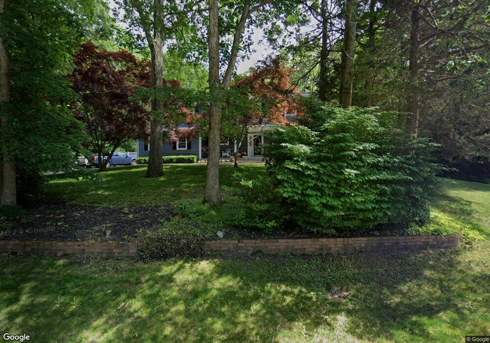
This home is located at 22 Kastal Dr, Ridge, NY 11961 and is currently estimated at $756,173, approximately $290 per square foot. 22 Kastal Dr is a home located in Suffolk County with nearby schools including Longwood Junior High School, Longwood Middle School, and Longwood Senior High School.
Ownership History
Date
Name
Owned For
Owner Type
Purchase Details
Closed on
Mar 16, 2016
Sold by
Baker Joan T and Baker Survivors Trust
Bought by
Ruddick Matthew and Ruddick Kelly
Current Estimated Value
Home Financials for this Owner
Home Financials are based on the most recent Mortgage that was taken out on this home.
Original Mortgage
$328,500
Outstanding Balance
$260,006
Interest Rate
3.65%
Mortgage Type
Closed End Mortgage
Estimated Equity
$496,167
Purchase Details
Closed on
Nov 11, 2010
Sold by
Baker Joan T and Baker Danielle M
Bought by
Baker Joan T and Baker Survivors Trust
Purchase Details
Closed on
Sep 30, 2010
Sold by
Baker Joan T
Bought by
Baker Joan T and Baker Danielle M
Purchase Details
Closed on
Nov 20, 2007
Purchase Details
Closed on
Jan 23, 1995
Sold by
Baker John E and Baker Joan T
Bought by
Baker Joan T
Create a Home Valuation Report for This Property
The Home Valuation Report is an in-depth analysis detailing your home's value as well as a comparison with similar homes in the area
Home Values in the Area
Average Home Value in this Area
Purchase History
| Date | Buyer | Sale Price | Title Company |
|---|---|---|---|
| Ruddick Matthew | $365,000 | None Available | |
| Ruddick Matthew | $365,000 | None Available | |
| Baker Joan T | $199,500 | -- | |
| Baker Joan T | $199,500 | -- | |
| Baker Joan T | -- | -- | |
| Baker Joan T | -- | -- | |
| -- | -- | -- | |
| -- | -- | -- | |
| Baker Joan T | -- | Syndicated Title Agency Inc | |
| Baker Joan T | -- | Syndicated Title Agency Inc |
Source: Public Records
Mortgage History
| Date | Status | Borrower | Loan Amount |
|---|---|---|---|
| Open | Ruddick Matthew | $328,500 | |
| Closed | Ruddick Matthew | $328,500 |
Source: Public Records
Tax History Compared to Growth
Tax History
| Year | Tax Paid | Tax Assessment Tax Assessment Total Assessment is a certain percentage of the fair market value that is determined by local assessors to be the total taxable value of land and additions on the property. | Land | Improvement |
|---|---|---|---|---|
| 2024 | $13,290 | $3,000 | $410 | $2,590 |
| 2023 | $13,290 | $3,000 | $410 | $2,590 |
| 2022 | $12,327 | $3,000 | $410 | $2,590 |
| 2021 | $12,327 | $3,000 | $410 | $2,590 |
| 2020 | $12,556 | $3,000 | $410 | $2,590 |
| 2019 | $12,556 | $0 | $0 | $0 |
| 2018 | $11,823 | $3,000 | $410 | $2,590 |
| 2017 | $11,823 | $3,000 | $410 | $2,590 |
| 2016 | -- | $3,000 | $410 | $2,590 |
| 2015 | -- | $3,000 | $410 | $2,590 |
| 2014 | -- | $3,000 | $410 | $2,590 |
Source: Public Records
Map
Nearby Homes
- 305 Torquay Ct
- 116 Raynor Rd
- 311 Woodbridge Dr Unit 311C
- 324 Woodbridge Dr Unit A
- 310 Woodbridge Dr
- 28 Kingston Dr
- 269 Berwick Ct Unit B
- 329 Woodbridge Dr Unit A
- 268 Berwick Ct Unit 268A
- 379 Larchmont Ct
- 280 Berwick Ct Unit B
- 280 Berwick Ct Unit A
- 407 Belfast Ln
- 373 Woodbridge Dr Unit B
- 2 Kingston Dr
- 350 Woodbridge Dr Unit 350B
- 393 Woodbridge Dr
- 380 Woodbridge Dr
- 424 Woodbridge Dr Unit D
- 160 Laurance Ln