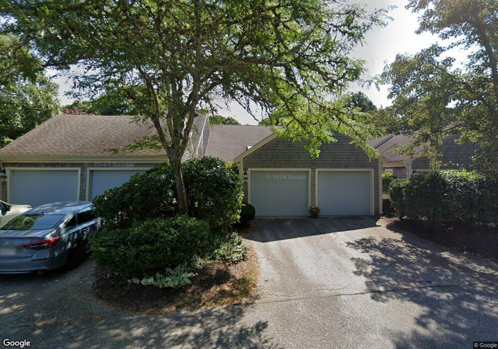
22 Kates Path Yarmouth Port, MA 02675
Yarmouth Port NeighborhoodEstimated Value: $582,000 - $627,000
2
Beds
3
Baths
1,350
Sq Ft
$447/Sq Ft
Est. Value
About This Home
This home is located at 22 Kates Path, Yarmouth Port, MA 02675 and is currently estimated at $603,171, approximately $446 per square foot. 22 Kates Path is a home located in Barnstable County with nearby schools including Dennis-Yarmouth Regional High School.
Ownership History
Date
Name
Owned For
Owner Type
Purchase Details
Closed on
Nov 20, 2020
Sold by
Holly J Lenk 2019 Ret
Bought by
Eugene G Peterson T
Current Estimated Value
Purchase Details
Closed on
Oct 1, 2018
Sold by
Carmen Stellato Jr T
Bought by
Schindler Kathleen L
Purchase Details
Closed on
Oct 26, 2009
Sold by
Clifford Christopher R
Bought by
Wordsworth James S and Wordsworth Jane B
Purchase Details
Closed on
Jul 6, 1994
Sold by
Kings Way Prop Rt
Bought by
Christopher Clifford Z and Christopher Madeline A
Create a Home Valuation Report for This Property
The Home Valuation Report is an in-depth analysis detailing your home's value as well as a comparison with similar homes in the area
Home Values in the Area
Average Home Value in this Area
Purchase History
| Date | Buyer | Sale Price | Title Company |
|---|---|---|---|
| Eugene G Peterson T | $397,400 | None Available | |
| Schindler Kathleen L | $320,000 | -- | |
| Wordsworth James S | $295,000 | -- | |
| Christopher Clifford Z | $190,300 | -- |
Source: Public Records
Tax History Compared to Growth
Tax History
| Year | Tax Paid | Tax Assessment Tax Assessment Total Assessment is a certain percentage of the fair market value that is determined by local assessors to be the total taxable value of land and additions on the property. | Land | Improvement |
|---|---|---|---|---|
| 2025 | $3,650 | $515,600 | $0 | $515,600 |
| 2024 | $4,182 | $566,600 | $0 | $566,600 |
| 2023 | $3,326 | $410,100 | $0 | $410,100 |
| 2022 | $4,175 | $454,800 | $0 | $454,800 |
| 2021 | $4,062 | $424,900 | $0 | $424,900 |
| 2020 | $3,912 | $391,200 | $0 | $391,200 |
| 2019 | $3,669 | $363,300 | $0 | $363,300 |
| 2018 | $3,451 | $335,400 | $0 | $335,400 |
| 2017 | $3,220 | $321,400 | $0 | $321,400 |
| 2016 | $3,069 | $307,500 | $0 | $307,500 |
| 2015 | $2,991 | $297,900 | $0 | $297,900 |
Source: Public Records
Map
Nearby Homes
- 17 Kates Path Unit A
- 228 Kates Path
- 64 Kates Path
- 158 Kates Path
- 43 Canterbury Rd
- 19 John Halls Cartpath Village Unit E
- 19 John Hall Cartway Unit E
- 50 John Hall Cartway
- 50 John Hall Cartway Unit 50
- 42 John Hall Cartway Unit 42
- 28 Oak Glen
- 44 Stratford Ln
- 25 Oak Glen Village Unit 25
- 25 Oak Glen
- 17 Nottingham Dr
- 30 W Woods
- 30 W Woods Cir Unit 30
- 2 Pine Grove
- 800 Route 6a
- 800 Route 6a
- 26 Kates Path
- 26 Kates Path Unit E
- 9 Kate's Unit 9
- 30 Kates Path
- 32 Kates Path
- 32 Kates Path Unit A
- 11 Kate's Path Unit 11
- 10 Kate's Path Unit 10
- 6 Kates Path
- 24 Kates Path
- 20 Kates Path
- 24 Kates Path
- 24 Kates Path Unit 24
- 20 Kates Path Unit 20
- 20 Kates Path Unit H
- 24 Kates Path Unit D
- 26 Kate's Path Unit 26
- 15 Kate's Path Unit 15
- 34 Kates Path
- 28 Kates Path