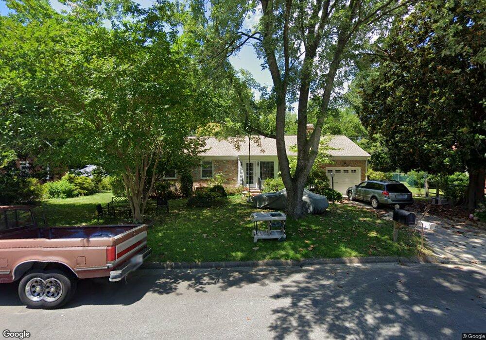
22 Kelsor Dr Poquoson, VA 23662
Poquoson West NeighborhoodEstimated Value: $365,932 - $397,000
3
Beds
3
Baths
1,905
Sq Ft
$202/Sq Ft
Est. Value
About This Home
This home is located at 22 Kelsor Dr, Poquoson, VA 23662 and is currently estimated at $383,983, approximately $201 per square foot. 22 Kelsor Dr is a home located in Poquoson City with nearby schools including Emmanuel Lutheran School, Living Word Academy, and Summit Christian Academy - Upper School.
Ownership History
Date
Name
Owned For
Owner Type
Purchase Details
Closed on
Apr 28, 2022
Sold by
Shuster David D and Shuster Mary J
Bought by
Shuster Family Trust and Shuster
Current Estimated Value
Create a Home Valuation Report for This Property
The Home Valuation Report is an in-depth analysis detailing your home's value as well as a comparison with similar homes in the area
Home Values in the Area
Average Home Value in this Area
Purchase History
| Date | Buyer | Sale Price | Title Company |
|---|---|---|---|
| Shuster Family Trust | -- | None Listed On Document |
Source: Public Records
Tax History Compared to Growth
Tax History
| Year | Tax Paid | Tax Assessment Tax Assessment Total Assessment is a certain percentage of the fair market value that is determined by local assessors to be the total taxable value of land and additions on the property. | Land | Improvement |
|---|---|---|---|---|
| 2024 | $3,435 | $301,300 | $96,300 | $205,000 |
| 2023 | $3,344 | $301,300 | $96,300 | $205,000 |
| 2022 | $3,254 | $288,000 | $96,300 | $191,700 |
| 2021 | $3,254 | $288,000 | $96,300 | $191,700 |
| 2020 | $0 | $267,900 | $96,300 | $171,600 |
| 2019 | -- | $267,900 | $96,300 | $171,600 |
| 2018 | -- | $257,900 | $96,300 | $161,600 |
| 2017 | -- | $257,900 | $96,300 | $161,600 |
| 2016 | -- | $257,900 | $96,300 | $161,600 |
| 2015 | -- | $240,700 | $93,500 | $147,200 |
| 2013 | -- | $240,700 | $93,500 | $147,200 |
Source: Public Records
Map
Nearby Homes
- 63 Charles Parish Dr
- 11 Valmoore Dr
- 45 Valasia Rd
- 40 Valmoore Dr
- 718C Poquoson Ave
- 706 Yorktown Rd
- 8 Wornom Farm Rd
- 11 Dorothy Dr
- 9 Cherokee Dr
- 11 Bull Run
- 28 Pasture Rd
- 15 Pickins Dr
- 41 W Sandy Point Rd
- 21 Rens Rd
- 15+AC Browns Neck Rd
- Allegheny Plan at Legacy of Poquoson
- Ballenger Plan at Legacy of Poquoson
- Lehigh Plan at Legacy of Poquoson
- 20 Pickins Dr
- 410 Big Woods Dr Unit 2E