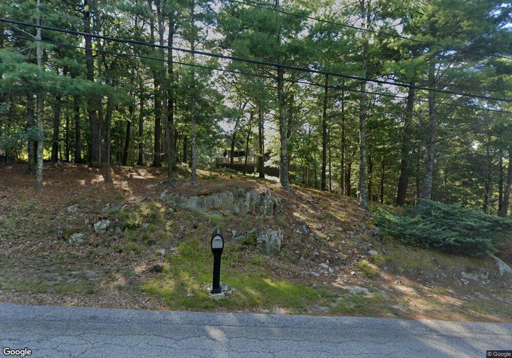
22 Ledgeview Dr Assonet, MA 02702
Estimated Value: $627,000 - $667,000
3
Beds
3
Baths
2,323
Sq Ft
$277/Sq Ft
Est. Value
About This Home
This home is located at 22 Ledgeview Dr, Assonet, MA 02702 and is currently estimated at $643,634, approximately $277 per square foot. 22 Ledgeview Dr is a home located in Bristol County with nearby schools including Freetown Elementary School, George R Austin Intermediate School, and Freetown-Lakeville Middle School.
Ownership History
Date
Name
Owned For
Owner Type
Purchase Details
Closed on
Jul 29, 2004
Sold by
Thorpe James R
Bought by
Slaiding Carol A and Slaiding Clifford B
Current Estimated Value
Home Financials for this Owner
Home Financials are based on the most recent Mortgage that was taken out on this home.
Original Mortgage
$290,000
Outstanding Balance
$146,947
Interest Rate
6.33%
Mortgage Type
Purchase Money Mortgage
Estimated Equity
$496,687
Purchase Details
Closed on
Dec 19, 1997
Sold by
Dias John and Parent Joyce F
Bought by
Thorpe James R and Mello Tammi A
Purchase Details
Closed on
Oct 29, 1992
Sold by
Morey Allen R and Morey Lenore M
Bought by
Parent Joyce F
Purchase Details
Closed on
Jan 29, 1987
Sold by
Assonet Land Devel
Bought by
Morey Allen R
Create a Home Valuation Report for This Property
The Home Valuation Report is an in-depth analysis detailing your home's value as well as a comparison with similar homes in the area
Purchase History
| Date | Buyer | Sale Price | Title Company |
|---|---|---|---|
| Slaiding Carol A | $369,900 | -- | |
| Thorpe James R | $156,500 | -- | |
| Parent Joyce F | $175,000 | -- | |
| Morey Allen R | $30,000 | -- |
Source: Public Records
Mortgage History
| Date | Status | Borrower | Loan Amount |
|---|---|---|---|
| Open | Morey Allen R | $290,000 | |
| Previous Owner | Morey Allen R | $50,000 |
Source: Public Records
Tax History
| Year | Tax Paid | Tax Assessment Tax Assessment Total Assessment is a certain percentage of the fair market value that is determined by local assessors to be the total taxable value of land and additions on the property. | Land | Improvement |
|---|---|---|---|---|
| 2025 | $5,047 | $509,300 | $190,400 | $318,900 |
| 2024 | $4,870 | $466,900 | $179,600 | $287,300 |
| 2023 | $4,406 | $411,400 | $161,700 | $249,700 |
| 2022 | $4,234 | $351,100 | $137,000 | $214,100 |
| 2021 | $0 | $319,700 | $124,600 | $195,100 |
| 2020 | $1,756 | $310,300 | $119,800 | $190,500 |
| 2019 | $4,166 | $316,800 | $119,500 | $197,300 |
| 2018 | $1,704 | $296,300 | $119,500 | $176,800 |
| 2017 | $1,673 | $288,100 | $119,500 | $168,600 |
| 2016 | $3,475 | $265,500 | $116,100 | $149,400 |
| 2015 | $3,319 | $257,300 | $110,800 | $146,500 |
| 2014 | $3,245 | $257,300 | $113,700 | $143,600 |
Source: Public Records
Map
Nearby Homes
- 0 Sammys Ln
- 52 Anthony St
- 37 Simpson Ln
- 71 County St
- 5 Hadley Heights Way
- 23 Elmwood Dr
- 16 Water St Unit C
- 16 Water St Unit A
- 16 Water St Unit B
- 16 Water St Unit D
- 4 Hadley Heights Way
- 42 High St
- 24 Bells Brook Rd
- 145 County St
- 73 Seymour St
- 117 High St
- 4 Narrows Rd
- 47 Narrows Rd
- 66 S Main St
- 14 Marks Ln
Your Personal Tour Guide
Ask me questions while you tour the home.