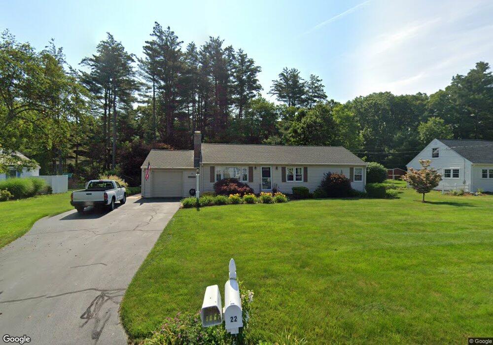
22 Leemond St Wilbraham, MA 01095
Estimated Value: $352,114 - $410,000
2
Beds
1
Bath
1,323
Sq Ft
$287/Sq Ft
Est. Value
About This Home
This home is located at 22 Leemond St, Wilbraham, MA 01095 and is currently estimated at $379,529, approximately $286 per square foot. 22 Leemond St is a home located in Hampden County with nearby schools including Minnechaug Regional High School, Springfield International Charter School, and Wilbraham & Monson Academy.
Ownership History
Date
Name
Owned For
Owner Type
Purchase Details
Closed on
Dec 15, 2021
Sold by
Manning Michael F and Manning Judy S
Bought by
Tutty Charles and Tutty Patricia
Current Estimated Value
Purchase Details
Closed on
Nov 10, 2021
Sold by
Tutty Charles and Tutty Patricia
Bought by
Tutty Irt
Purchase Details
Closed on
Dec 17, 2019
Sold by
Tutty Charles and Tutty Patricia
Bought by
Manning Michael F and Manning Judy S
Purchase Details
Closed on
Apr 19, 2002
Sold by
Little Noreen Hughes and Mcintosh Mary Jane
Bought by
Tutty Charles and Tutty Patricia
Create a Home Valuation Report for This Property
The Home Valuation Report is an in-depth analysis detailing your home's value as well as a comparison with similar homes in the area
Home Values in the Area
Average Home Value in this Area
Purchase History
| Date | Buyer | Sale Price | Title Company |
|---|---|---|---|
| Tutty Charles | -- | None Available | |
| Tutty Irt | -- | None Available | |
| Manning Michael F | -- | None Available | |
| Tutty Charles | $146,000 | -- |
Source: Public Records
Tax History Compared to Growth
Tax History
| Year | Tax Paid | Tax Assessment Tax Assessment Total Assessment is a certain percentage of the fair market value that is determined by local assessors to be the total taxable value of land and additions on the property. | Land | Improvement |
|---|---|---|---|---|
| 2025 | $5,537 | $309,700 | $96,400 | $213,300 |
| 2024 | $5,230 | $282,700 | $96,400 | $186,300 |
| 2023 | $49 | $267,900 | $96,400 | $171,500 |
| 2022 | $4,895 | $238,900 | $96,400 | $142,500 |
| 2021 | $4,744 | $206,600 | $103,700 | $102,900 |
| 2020 | $4,624 | $206,600 | $103,700 | $102,900 |
| 2019 | $4,506 | $206,700 | $103,700 | $103,000 |
| 2018 | $4,317 | $190,700 | $103,700 | $87,000 |
| 2017 | $4,195 | $190,700 | $103,700 | $87,000 |
| 2016 | $4,236 | $196,100 | $115,100 | $81,000 |
| 2015 | $4,095 | $196,100 | $115,100 | $81,000 |
Source: Public Records
Map
Nearby Homes
- 79 High Pine Cir
- 69 High Pine Cir
- 28 Decorie Dr
- 54 High Pine Cir
- 35 Lake Dr
- 2 Bayberry Dr Unit 51
- 4 Hillcrest Dr
- 46 Washington Rd
- 20 Old Orchard Rd
- 2 Vista Rd
- 8 Patriot Ridge Ln
- 6 Teak Terrace Unit 24
- 474 Mountain Rd
- 99 Sandalwood Dr Unit site 00
- 103 Sandalwood Dr Unit site 00
- 474-480 Mountain Rd
- 57 Sandalwood Dr Unit site 61
- 111 Sandalwood Dr Unit site 00
- 19 Linwood Dr
- 10 Forest Glade Dr