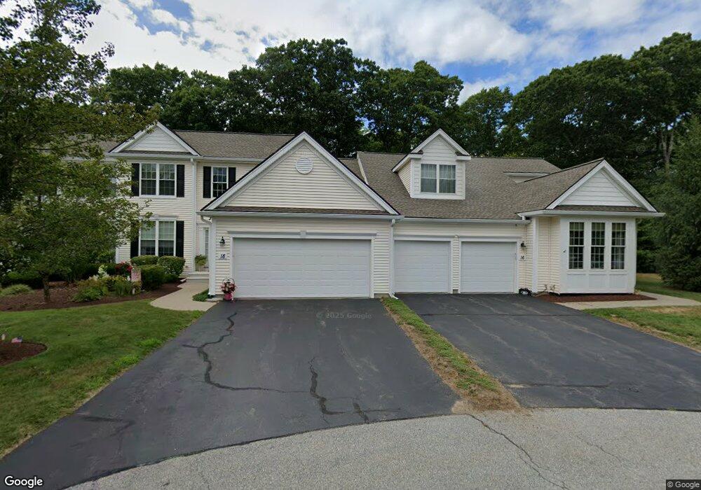
22 Linkside Ct Northbridge, MA 01534
Estimated Value: $590,129 - $641,000
3
Beds
3
Baths
1,795
Sq Ft
$341/Sq Ft
Est. Value
About This Home
This home is located at 22 Linkside Ct, Northbridge, MA 01534 and is currently estimated at $612,532, approximately $341 per square foot. 22 Linkside Ct is a home located in Worcester County with nearby schools including Northbridge Elementary School, Northbridge Middle School, and Northbridge High School.
Ownership History
Date
Name
Owned For
Owner Type
Purchase Details
Closed on
Jan 30, 2006
Sold by
Pulte Homes Of Ne Llc
Bought by
Bates Lorraine M
Current Estimated Value
Home Financials for this Owner
Home Financials are based on the most recent Mortgage that was taken out on this home.
Original Mortgage
$50,000
Outstanding Balance
$28,058
Interest Rate
6.34%
Mortgage Type
Purchase Money Mortgage
Estimated Equity
$584,474
Create a Home Valuation Report for This Property
The Home Valuation Report is an in-depth analysis detailing your home's value as well as a comparison with similar homes in the area
Home Values in the Area
Average Home Value in this Area
Purchase History
| Date | Buyer | Sale Price | Title Company |
|---|---|---|---|
| Bates Lorraine M | $407,395 | -- | |
| Bates Lorraine M | $407,395 | -- |
Source: Public Records
Mortgage History
| Date | Status | Borrower | Loan Amount |
|---|---|---|---|
| Open | Bates Lorraine M | $50,000 | |
| Closed | Bates Lorraine M | $50,000 |
Source: Public Records
Tax History Compared to Growth
Tax History
| Year | Tax Paid | Tax Assessment Tax Assessment Total Assessment is a certain percentage of the fair market value that is determined by local assessors to be the total taxable value of land and additions on the property. | Land | Improvement |
|---|---|---|---|---|
| 2025 | $6,031 | $511,500 | $0 | $511,500 |
| 2024 | $6,128 | $506,900 | $0 | $506,900 |
| 2023 | $5,658 | $436,600 | $0 | $436,600 |
| 2022 | $5,381 | $390,800 | $0 | $390,800 |
| 2021 | $5,157 | $355,900 | $0 | $355,900 |
| 2020 | $4,729 | $341,700 | $0 | $341,700 |
| 2019 | $4,249 | $327,600 | $0 | $327,600 |
| 2018 | $4,055 | $313,400 | $0 | $313,400 |
| 2017 | $4,125 | $304,900 | $0 | $304,900 |
| 2016 | $4,062 | $295,400 | $0 | $295,400 |
| 2015 | $3,783 | $282,700 | $0 | $282,700 |
| 2014 | $3,800 | $286,600 | $0 | $286,600 |
Source: Public Records
Map
Nearby Homes
- 89 Buttercup Ln Unit 255
- 2653 Providence Rd
- 3 Driscoll Ln
- 11 W Main St
- 135 Main St
- 1825 Quaker St
- 10 Mechanic St
- 36 Knowlton Cir Unit 36
- 369 Cooper Rd
- 86 Mikes Way Unit 86
- 27 Fowler St
- 0 Puddon St
- 4 Jonathans Way
- 1540 Quaker St
- 74 Warren St
- 41 Leland St
- 557 Fowler Rd
- 13 Plain St
- 150 Sprague St
- 135 Windstone Dr
- 16 Linkside Ct Unit 16
- 24 Linkside Ct
- 20 Linkside Ct
- 18 Linkside Ct
- 16 Linkside Ct
- 18 Linkside Ct Unit 41
- 16 Linkside Ct Unit 40-11
- 18 Linkside Ct Unit 41-11
- 16 Linkside Ct
- 24 Linkside Ct Unit 24
- 24 Linkside Ct Unit 44
- 17 Linkside Ct
- 19 Linkside Ct
- 21 Linkside Ct
- 23 Linkside Ct
- 21 Linkside Ct Unit 21
- 14 Linkside Ct
- 12 Linkside Ct
- 10 Linkside Ct
- 8 Linkside Ct