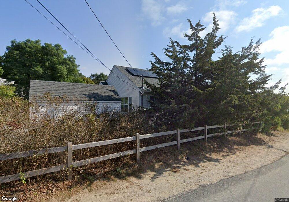
22 Little River Rd Cotuit, MA 02635
Cotuit NeighborhoodEstimated Value: $1,034,000 - $2,205,000
2
Beds
3
Baths
1,450
Sq Ft
$1,174/Sq Ft
Est. Value
About This Home
This home is located at 22 Little River Rd, Cotuit, MA 02635 and is currently estimated at $1,702,619, approximately $1,174 per square foot. 22 Little River Rd is a home located in Barnstable County with nearby schools including Barnstable United Elementary School, West Villages Elementary School, and Barnstable Intermediate School.
Ownership History
Date
Name
Owned For
Owner Type
Purchase Details
Closed on
Feb 4, 2014
Sold by
William A Walsh T and Jp Morgan Chase Bank N
Bought by
Fender Ft and Fender
Current Estimated Value
Purchase Details
Closed on
Mar 10, 2010
Sold by
Goodman Ann Karwacki and Hascek Janet W
Bought by
Jp Morgan Chase & Co
Create a Home Valuation Report for This Property
The Home Valuation Report is an in-depth analysis detailing your home's value as well as a comparison with similar homes in the area
Home Values in the Area
Average Home Value in this Area
Purchase History
| Date | Buyer | Sale Price | Title Company |
|---|---|---|---|
| Fender Ft | -- | -- | |
| Jp Morgan Chase & Co | -- | -- | |
| Jp Morgan Chase & Co | -- | -- |
Source: Public Records
Tax History
| Year | Tax Paid | Tax Assessment Tax Assessment Total Assessment is a certain percentage of the fair market value that is determined by local assessors to be the total taxable value of land and additions on the property. | Land | Improvement |
|---|---|---|---|---|
| 2025 | $15,440 | $1,849,100 | $1,470,500 | $378,600 |
| 2024 | $14,484 | $1,838,100 | $1,470,500 | $367,600 |
| 2023 | $12,294 | $1,468,800 | $1,157,600 | $311,200 |
| 2022 | $11,730 | $1,134,400 | $867,700 | $266,700 |
| 2021 | $8,334 | $1,105,200 | $893,200 | $212,000 |
| 2020 | $12,979 | $1,108,400 | $893,200 | $215,200 |
| 2019 | $11,861 | $998,400 | $816,700 | $181,700 |
| 2018 | $11,957 | $1,006,500 | $859,700 | $146,800 |
| 2017 | $1,888 | $996,500 | $859,700 | $136,800 |
| 2016 | $11,542 | $1,002,800 | $866,000 | $136,800 |
| 2015 | $11,178 | $970,300 | $837,800 | $132,500 |
Source: Public Records
Map
Nearby Homes
- 135 Putnam Avenue (Land)
- 804 Main St
- 835 Old Post Rd
- 564 Cotuit Bay Dr
- 564 Cotuit Bay Dr
- 33 Oyster Place Rd
- 916 Main St
- 440 Grand Island Dr
- 71 Sand Point
- 25 Oyster Way
- 602 Putnam Ave
- Lot 288 Seapuit River Rd A
- 165 Baxter Neck Rd
- Lot 289 Seapuit River Road B
- Lot 289 Seapuit River B Rd
- 1081 Main St
- Lot 288 Seapuit River A Rd
- 30 Wings Ln
- 239 Oxford Dr
- 188 Ocean View Ave
- 26 Little River Rd
- 2 Little River Rd
- 28 Little River Rd
- 38 Little River Rd
- 35 Little River Rd
- 11 Belair Ln
- 55 Little River Rd
- 30 Belair Ln
- 65 Little River Rd
- 68 Little River Rd
- 100 Hummock Ln
- 82 Hummock Ln
- 82 Hummock Ln Unit 1
- 124 Hummock Ln
- 88 Little River Rd
- 81 Little River Rd
- 60 Hummock Ln
- 148 Hummock Ln
- 499 Old Post Rd
- 108 Little River Rd
Your Personal Tour Guide
Ask me questions while you tour the home.