22 Lookout Point Way Linden, VA 22642
Estimated Value: $356,000 - $383,000
3
Beds
2
Baths
1,040
Sq Ft
$352/Sq Ft
Est. Value
About This Home
This home is located at 22 Lookout Point Way, Linden, VA 22642 and is currently estimated at $365,714, approximately $351 per square foot. 22 Lookout Point Way is a home located in Warren County with nearby schools including Leslie Fox Keyser Elementary School and Warren County High School.
Ownership History
Date
Name
Owned For
Owner Type
Purchase Details
Closed on
Dec 14, 2005
Sold by
Lockhart Stephen C
Bought by
Coe David H and Coe Lisa H
Current Estimated Value
Home Financials for this Owner
Home Financials are based on the most recent Mortgage that was taken out on this home.
Original Mortgage
$178,400
Outstanding Balance
$100,112
Interest Rate
6.34%
Mortgage Type
New Conventional
Estimated Equity
$265,602
Create a Home Valuation Report for This Property
The Home Valuation Report is an in-depth analysis detailing your home's value as well as a comparison with similar homes in the area
Home Values in the Area
Average Home Value in this Area
Purchase History
| Date | Buyer | Sale Price | Title Company |
|---|---|---|---|
| Coe David H | $223,400 | -- |
Source: Public Records
Mortgage History
| Date | Status | Borrower | Loan Amount |
|---|---|---|---|
| Open | Coe David H | $178,400 |
Source: Public Records
Tax History Compared to Growth
Tax History
| Year | Tax Paid | Tax Assessment Tax Assessment Total Assessment is a certain percentage of the fair market value that is determined by local assessors to be the total taxable value of land and additions on the property. | Land | Improvement |
|---|---|---|---|---|
| 2025 | $1,734 | $362,000 | $66,400 | $295,600 |
| 2024 | $1,461 | $275,700 | $46,000 | $229,700 |
| 2023 | $1,351 | $275,700 | $46,000 | $229,700 |
| 2022 | $1,237 | $188,800 | $40,000 | $148,800 |
| 2021 | $1,587 | $188,800 | $40,000 | $148,800 |
| 2020 | $1,237 | $188,800 | $40,000 | $148,800 |
| 2019 | $1,237 | $188,800 | $40,000 | $148,800 |
| 2018 | $1,168 | $177,000 | $35,000 | $142,000 |
| 2017 | $1,151 | $177,000 | $35,000 | $142,000 |
| 2016 | $1,372 | $177,000 | $35,000 | $142,000 |
| 2015 | -- | $177,000 | $35,000 | $142,000 |
| 2014 | -- | $196,000 | $35,000 | $161,000 |
Source: Public Records
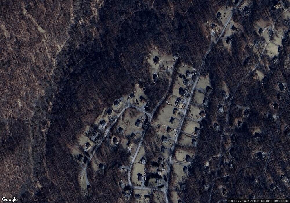
Map
Nearby Homes
- 284 Tulip Poplar Dr
- 540 Mcdonalds Farm Rd
- 151 Elseas Farm Rd
- 3 Lee Dr
- 4 Lee Dr
- 34 Tee Ct
- 1 Mosby Dr
- lot 280 High Top Rd
- 1 Lee Dr
- 2 Lee Dr
- 210 Freeze Rd
- 157 Woodthrush Way
- 3717 Freezeland Rd
- 0 Parkside Rd Unit VAWR2012298
- 2802 High Top Rd
- 0 0 Unit VAWR2012328
- 28 Cliff Rd
- 111 Bloodroot Rd
- 33 Dogwood Blossom Ln
- 401 Bragg Dr
- 40 Lookout Point Way
- 0 Lookout Point Way
- Lookout Point Way
- 317 Cliffside Rd
- 193 Cliffside Rd
- 285 Mcdonalds Farm Rd
- 311 Mcdonalds Farm Rd
- 327 Mcdonalds Farm Rd
- 247 Mcdonalds Farm Rd
- 265 Mcdonalds Farm Rd
- 319 Cliffside Rd
- 345 Mcdonalds Farm Rd
- 60 Lookout Point Way
- 0 Mc Donalds Farm Rd Unit 1006579756
- 0 Mc Donalds Farm Rd Unit 1006579748
- 0 Mc Donalds Farm Rd Unit 1006579710
- 0 Mc Donalds Farm Rd Unit 1006500150
- 0 Mcdonalds Farm Unit WR6635635
- 0 Mc Donalds Farm Rd Unit 1008896680
- 0 Mc Donalds Farm Rd Unit 1008896632