22 Loon Ln Chilmark, MA 02535
Chilmark NeighborhoodEstimated Value: $3,167,000 - $4,590,060
3
Beds
2
Baths
3,173
Sq Ft
$1,270/Sq Ft
Est. Value
About This Home
This home is located at 22 Loon Ln, Chilmark, MA 02535 and is currently estimated at $4,029,020, approximately $1,269 per square foot. 22 Loon Ln is a home located in Dukes County with nearby schools including Martha's Vineyard Regional High School.
Ownership History
Date
Name
Owned For
Owner Type
Purchase Details
Closed on
Mar 14, 2022
Sold by
Michael Henry Levin Ret
Bought by
Book End Llc
Current Estimated Value
Purchase Details
Closed on
Feb 29, 2008
Sold by
Levin Michael H and Levin Nora Jean
Bought by
Michael H Levin Ret and Levin Michael H
Purchase Details
Closed on
Feb 13, 1996
Sold by
Est Hollis B Cheney and Lanigan James E
Bought by
Levin Michael H and Levin Nora Jean
Create a Home Valuation Report for This Property
The Home Valuation Report is an in-depth analysis detailing your home's value as well as a comparison with similar homes in the area
Home Values in the Area
Average Home Value in this Area
Purchase History
| Date | Buyer | Sale Price | Title Company |
|---|---|---|---|
| Book End Llc | -- | None Available | |
| Michael H Levin Ret | -- | -- | |
| Levin Michael H | $532,000 | -- |
Source: Public Records
Mortgage History
| Date | Status | Borrower | Loan Amount |
|---|---|---|---|
| Previous Owner | Levin Michael H | $200,000 | |
| Previous Owner | Levin Michael H | $414,000 | |
| Previous Owner | Levin Michael H | $417,000 |
Source: Public Records
Tax History
| Year | Tax Paid | Tax Assessment Tax Assessment Total Assessment is a certain percentage of the fair market value that is determined by local assessors to be the total taxable value of land and additions on the property. | Land | Improvement |
|---|---|---|---|---|
| 2025 | $8,456 | $3,758,300 | $2,197,700 | $1,560,600 |
| 2024 | $9,857 | $4,649,600 | $3,162,700 | $1,486,900 |
| 2023 | $8,382 | $3,187,000 | $2,102,400 | $1,084,600 |
| 2022 | $6,509 | $2,308,300 | $1,386,400 | $921,900 |
| 2021 | $6,334 | $2,176,600 | $1,386,400 | $790,200 |
| 2020 | $5,316 | $1,858,700 | $1,073,900 | $784,800 |
| 2019 | $5,202 | $1,806,400 | $1,073,900 | $732,500 |
| 2018 | $4,968 | $1,806,400 | $1,073,900 | $732,500 |
| 2017 | $4,826 | $1,800,800 | $1,073,900 | $726,900 |
| 2016 | $4,865 | $1,795,100 | $1,073,900 | $721,200 |
| 2015 | $4,743 | $1,803,600 | $1,073,900 | $729,700 |
| 2014 | $4,935 | $1,990,100 | $1,608,000 | $382,100 |
Source: Public Records
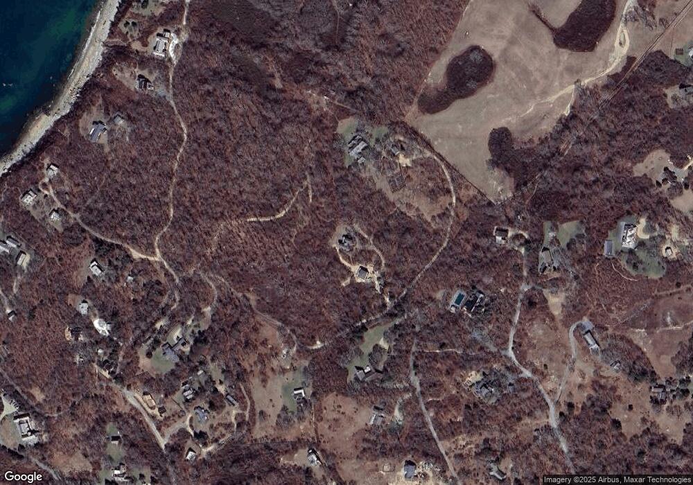
Map
Nearby Homes
- 43 N Slope Ln
- 46 Tiercel Ln
- 25 Fulling Mill Rd
- 21 & 25 Fulling Mill Rd
- 7 Clay Pit Ln
- 6 Trails End
- 654 Lighthouse Rd
- 34 Ebens Ln Unit 20 and 22
- 34 Ebens Ln
- 96 Hammett Ln
- 174 Middle Rd
- 00 Oxcart Rd Unit 28
- 16 Shotnaigher Ln
- 308 South Rd
- 60 Meetinghouse Rd
- 15 Old Farm Rd
- 9 Moshup Trail
- 2 Other House Rd Unit 173
- 37 Bijah's Way Unit 96, 101, 102
- 99 Cygnet Way Unit 103
- 28 Loon Ln
- 0 Menemsha Inn Rd
- 30 Pinkletink Rd
- 30 Cranberry Hill Rd
- 36 Cranberry Hill Rd
- 15 Loon Ln
- 15 Loon Ln Unit 1
- 15 Loon Lane Ch203
- 26 Pinkletink Rd
- 24 Cranberry Hill Rd
- 35 Cranberry Hill Rd
- 1 Pitch Pine Ln Unit 1
- 33 Menemsha Inn Rd
- 33 Menemsha Inn Rd Ch223 3
- 37 Menemsha Inn Rd
- 53 Menemsha Inn Rd
- 35 Menemsha Inn Rd
- 20 Pinkletink Rd
- 12 Salt Meadows
- 4 Pitch Pine Ln
Your Personal Tour Guide
Ask me questions while you tour the home.