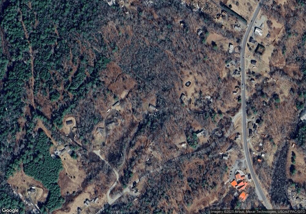
22 Maple Tree Ln Edgecomb, ME 04556
Estimated Value: $324,963 - $409,000
3
Beds
2
Baths
2,492
Sq Ft
$145/Sq Ft
Est. Value
About This Home
This home is located at 22 Maple Tree Ln, Edgecomb, ME 04556 and is currently estimated at $360,491, approximately $144 per square foot. 22 Maple Tree Ln is a home located in Lincoln County with nearby schools including Edgecomb Eddy School, Center for Teaching & Learning, and The Deck House School.
Ownership History
Date
Name
Owned For
Owner Type
Purchase Details
Closed on
Jul 21, 2021
Sold by
Graffam Jeremy D and Graffam Crystal M
Bought by
Murphy Ryan K and Murphy Laura E
Current Estimated Value
Home Financials for this Owner
Home Financials are based on the most recent Mortgage that was taken out on this home.
Original Mortgage
$176,979
Outstanding Balance
$159,688
Interest Rate
2.96%
Mortgage Type
VA
Estimated Equity
$200,803
Purchase Details
Closed on
Sep 28, 2005
Sold by
Chubbuck Wayne and Chubbuck Susanne
Bought by
Graffam Jeremy D and Graffam Crystal M
Create a Home Valuation Report for This Property
The Home Valuation Report is an in-depth analysis detailing your home's value as well as a comparison with similar homes in the area
Home Values in the Area
Average Home Value in this Area
Purchase History
| Date | Buyer | Sale Price | Title Company |
|---|---|---|---|
| Murphy Ryan K | -- | None Available | |
| Graffam Jeremy D | -- | -- |
Source: Public Records
Mortgage History
| Date | Status | Borrower | Loan Amount |
|---|---|---|---|
| Open | Murphy Ryan K | $176,979 |
Source: Public Records
Tax History Compared to Growth
Tax History
| Year | Tax Paid | Tax Assessment Tax Assessment Total Assessment is a certain percentage of the fair market value that is determined by local assessors to be the total taxable value of land and additions on the property. | Land | Improvement |
|---|---|---|---|---|
| 2025 | $3,012 | $307,933 | $95,500 | $212,433 |
| 2024 | $2,401 | $109,251 | $36,000 | $73,251 |
| 2023 | $1,824 | $109,251 | $36,000 | $73,251 |
| 2022 | $1,764 | $109,251 | $36,000 | $73,251 |
| 2021 | $1,906 | $109,251 | $36,000 | $73,251 |
| 2020 | $1,960 | $109,251 | $36,000 | $73,251 |
| 2019 | $2,029 | $109,251 | $36,000 | $73,251 |
| 2018 | $1,868 | $109,251 | $36,000 | $73,251 |
| 2017 | $1,833 | $109,251 | $36,000 | $73,251 |
| 2015 | $1,661 | $109,251 | $36,000 | $73,251 |
| 2013 | $1,437 | $109,251 | $36,000 | $73,251 |
Source: Public Records
Map
Nearby Homes
- 664 Boothbay Rd
- 50 Bunchberry Ln
- 00 Maine 27
- 91 Lord Rd
- 27 Doggett Rd
- 8 Wawenock Rd
- 30 Taylor Rd
- 150 Mount Hunger Rd W
- 15 Lewis Dr
- 13 Porcupine Ln
- 5 Hillside Place Unit 2
- 19 Riverside Ave
- 67 Village Way Unit 505
- 114 Fort Rd
- 11 Island Ln Unit 1
- 48 Us Route 1
- 306 Eddy Rd Unit 310
- 306 Eddy Rd Unit 307
- 306 Eddy Rd Unit 309
- 27 Dodge Rd
- 7 Moonlight Dr
- 35 Mill Rd
- 5 Mill Rd
- 41 Mill Rd
- 18 Cunningham Rd
- Lot 80.5 Cunningham Rd
- Lot 80.4 Cunningham Rd
- Lot 01 Cunningham Rd
- 0 Cunningham
- 00 Cunningham Rd
- Lot 00 Cunningham Rd
- 17 Mill Rd
- 52 Mill Rd
- 47 Robin Rd
- 27 Robin Rd
- 71 Mill
- 19 Robin Rd
- 709 Boothbay Rd Unit A
- 709 Boothbay Rd Unit B
- 709 Boothbay Rd
