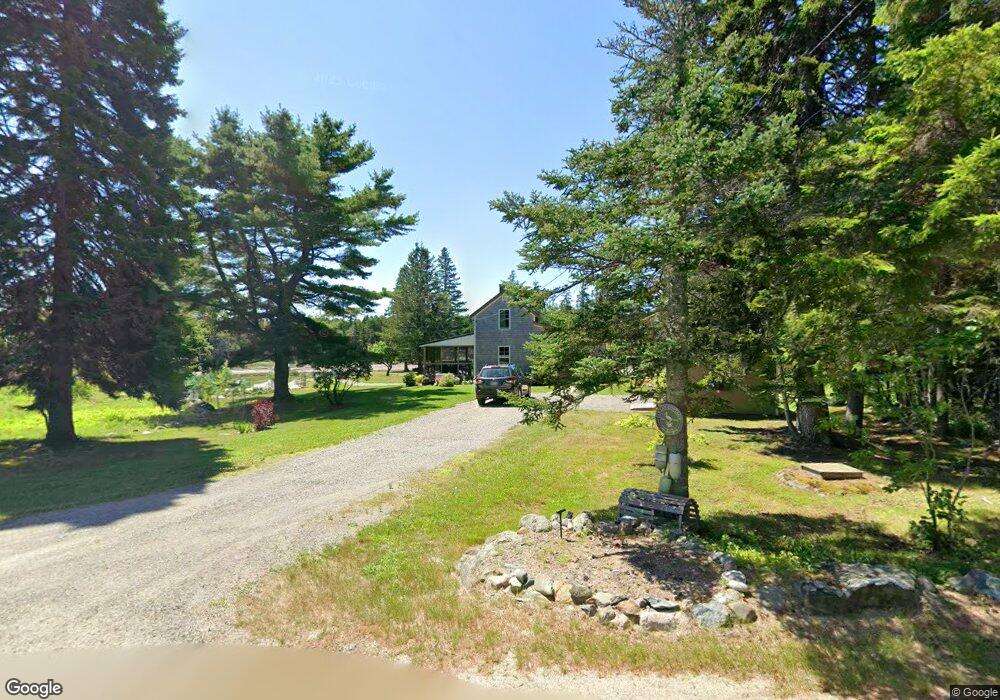
22 Marsh Harbor Rd Addison, ME 04606
Estimated Value: $259,000 - $423,000
2
Beds
1
Bath
588
Sq Ft
$570/Sq Ft
Est. Value
About This Home
This home is located at 22 Marsh Harbor Rd, Addison, ME 04606 and is currently estimated at $334,910, approximately $569 per square foot. 22 Marsh Harbor Rd is a home located in Washington County.
Ownership History
Date
Name
Owned For
Owner Type
Purchase Details
Closed on
Feb 24, 2021
Sold by
Joy Kevin R and Joy Julie
Bought by
Colley James R and Colley Melanie L
Current Estimated Value
Home Financials for this Owner
Home Financials are based on the most recent Mortgage that was taken out on this home.
Original Mortgage
$75,000
Outstanding Balance
$54,058
Interest Rate
2.7%
Mortgage Type
New Conventional
Estimated Equity
$280,852
Purchase Details
Closed on
Dec 27, 2005
Sold by
Llok Martha J
Bought by
Joy Kevin R and Joy Julie A
Create a Home Valuation Report for This Property
The Home Valuation Report is an in-depth analysis detailing your home's value as well as a comparison with similar homes in the area
Purchase History
| Date | Buyer | Sale Price | Title Company |
|---|---|---|---|
| Colley James R | -- | None Available | |
| Colley James R | -- | None Available | |
| Joy Kevin R | -- | -- | |
| Joy Kevin R | -- | -- | |
| Joy Kevin R | -- | -- |
Source: Public Records
Mortgage History
| Date | Status | Borrower | Loan Amount |
|---|---|---|---|
| Open | Colley James R | $75,000 | |
| Closed | Colley James R | $75,000 |
Source: Public Records
Tax History
| Year | Tax Paid | Tax Assessment Tax Assessment Total Assessment is a certain percentage of the fair market value that is determined by local assessors to be the total taxable value of land and additions on the property. | Land | Improvement |
|---|---|---|---|---|
| 2025 | $3,327 | $172,400 | $116,000 | $56,400 |
| 2024 | $3,227 | $172,400 | $116,000 | $56,400 |
| 2023 | $2,969 | $172,400 | $116,000 | $56,400 |
| 2022 | $4,187 | $252,200 | $195,800 | $56,400 |
| 2021 | $1,876 | $113,000 | $67,100 | $45,900 |
| 2020 | $1,846 | $115,400 | $67,100 | $48,300 |
| 2019 | $1,835 | $115,400 | $67,100 | $48,300 |
| 2018 | $1,835 | $115,400 | $67,100 | $48,300 |
| 2017 | $1,835 | $115,400 | $67,100 | $48,300 |
| 2016 | $1,685 | $115,400 | $67,100 | $48,300 |
| 2015 | $1,656 | $115,400 | $67,100 | $48,300 |
| 2014 | $1,546 | $115,400 | $67,100 | $48,300 |
| 2013 | $1,443 | $115,400 | $67,100 | $48,300 |
Source: Public Records
Map
Nearby Homes
- 397 Cape Split Rd
- 00 Eagle Island
- 780 E Side Rd
- M17L21 Basin Rd
- map 17 Basin Rd Unit lot 24
- 251 Ripley Neck Rd
- Lot 13 Reef Point Rd
- Lot 12 Reef Point Rd
- 29 Reef Point Rd
- M20L2 E Side Rd
- Lot 15-5 Fort Williams Rd
- Lot # 15-2 Fort Williams Rd
- Lot B Fort Williams Rd
- 0 Pomp Island Unit 1652405
- 16 & 18 Nelson Way
- 100 Hardwood Point
- 337 W Side Rd
- Lot 25-3 Flat Bay Dr
- Lot #7 Highland Rd
- Lot #8 Seaberry Landing Rd
- 22 Marsh Harbor Rd
- 15 Marsh Harbor Rd
- 30 Marsh Harbor Rd
- 5 Marsh Harbor Rd
- 0 Marsh Harbor Rd Unit 972065
- 164 Cape Split Rd
- 142 Cape Split Rd
- 0 Cape Split Rd
- 119 Marsh Harbor Rd
- 184 Cape Split Rd
- 23 Christian Dr
- 67 Marsh Harbor Rd
- 111 Cape Split Rd
- 154 Cape Split Rd
- Lot 43 Nash Ln
- 29 Christian Dr
- 211 Cape Split Rd
- 00 Cape Split Rd Rd
- 25 Christian Dr
- 102 Marsh Harbor Rd
Your Personal Tour Guide
Ask me questions while you tour the home.