22 Mason Rd Milton, NH 03851
Estimated Value: $457,000 - $832,000
2
Beds
2
Baths
1,874
Sq Ft
$303/Sq Ft
Est. Value
About This Home
This home is located at 22 Mason Rd, Milton, NH 03851 and is currently estimated at $566,978, approximately $302 per square foot. 22 Mason Rd is a home located in Strafford County with nearby schools including Milton Elementary School, Nute Junior High School, and Nute High School.
Ownership History
Date
Name
Owned For
Owner Type
Purchase Details
Closed on
Aug 5, 2005
Sold by
Thompson Leona M
Bought by
Lord Jeffrey Stuart
Current Estimated Value
Home Financials for this Owner
Home Financials are based on the most recent Mortgage that was taken out on this home.
Original Mortgage
$336,000
Outstanding Balance
$171,698
Interest Rate
5.63%
Estimated Equity
$395,280
Create a Home Valuation Report for This Property
The Home Valuation Report is an in-depth analysis detailing your home's value as well as a comparison with similar homes in the area
Home Values in the Area
Average Home Value in this Area
Purchase History
| Date | Buyer | Sale Price | Title Company |
|---|---|---|---|
| Lord Jeffrey Stuart | $420,000 | -- | |
| Lord Jeffrey S | $420,000 | -- |
Source: Public Records
Mortgage History
| Date | Status | Borrower | Loan Amount |
|---|---|---|---|
| Open | Lord Jeffrey S | $336,000 | |
| Closed | Lord Jeffrey Stuart | $336,000 |
Source: Public Records
Tax History
| Year | Tax Paid | Tax Assessment Tax Assessment Total Assessment is a certain percentage of the fair market value that is determined by local assessors to be the total taxable value of land and additions on the property. | Land | Improvement |
|---|---|---|---|---|
| 2024 | $5,460 | $391,431 | $130,331 | $261,100 |
| 2023 | $6,008 | $244,844 | $64,844 | $180,000 |
| 2022 | $5,997 | $244,972 | $64,972 | $180,000 |
| 2021 | $5,607 | $245,286 | $65,286 | $180,000 |
| 2020 | $5,437 | $245,369 | $65,369 | $180,000 |
| 2019 | $9,856 | $245,399 | $65,399 | $180,000 |
| 2018 | $5,352 | $203,457 | $44,657 | $158,800 |
| 2017 | $5,240 | $202,382 | $44,482 | $157,900 |
| 2016 | $4,813 | $180,282 | $44,482 | $135,800 |
| 2015 | $5,156 | $180,282 | $44,482 | $135,800 |
| 2014 | $4,809 | $180,048 | $76,048 | $104,000 |
| 2013 | $4,958 | $191,581 | $78,081 | $113,500 |
Source: Public Records
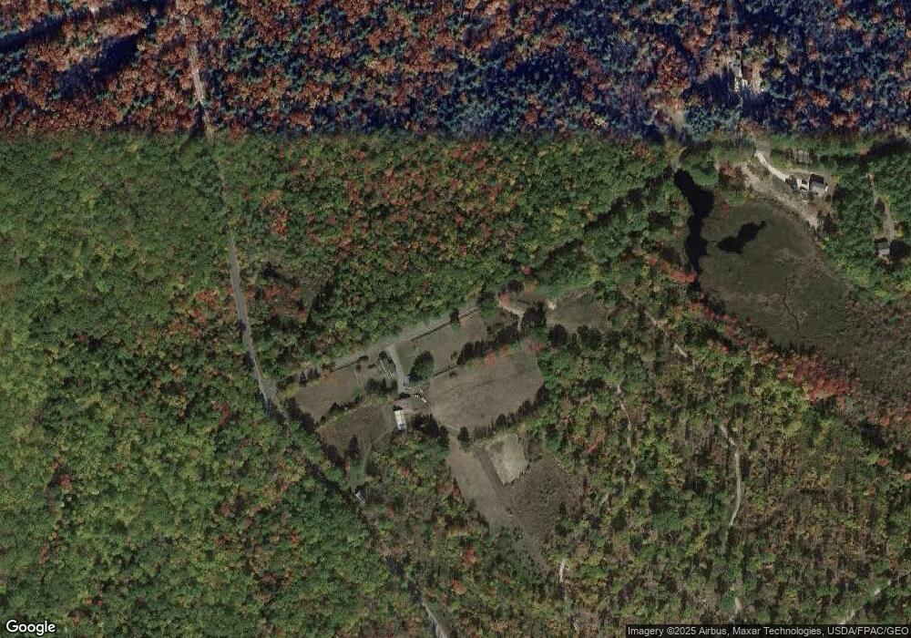
Map
Nearby Homes
- 164 18 3 Mason Rd
- TBD Mason Rd
- 164 Mason Rd
- 370 Hare Rd
- 0 Fox Rd Unit 5010590
- 136 Hare Rd
- 44 Shore Dr Unit 100
- 130 Nicola Rd
- 260 Charles St
- Lot 330 Nicola Rd
- 123 Pinkham Rd
- 92 Milton Rd
- 0 Pinkham Rd Unit Map 8 Lot 6-4
- 288 Pinkham Rd
- 57 Pinkham Rd
- 31 Lake Shore Dr
- 00 Bourdeau Rd Unit 74
- 50 Kings Hwy
- 21 Holly Ln
- 200 Farmington Rd
- 484 Governors Rd
- 18 Mason Rd Unit 18-3
- 69 Mason Rd
- 70 Mason Rd
- 80 Mason Rd
- 0 Governors Rd Unit 40-58-15 4996331
- 0 Governors Rd
- 58-15 Governors Rd
- 100 Mason Rd
- 403 Governors Rd
- 435 Governors Rd
- 387 Governors Rd
- 121 Mason Rd
- 402 Governors Rd
- 373 Governors Rd
- 366 Governors Rd
- 364 Governors Rd
- 596 Governors Rd
- 357 Governors Rd
- 446 Hare Rd
Your Personal Tour Guide
Ask me questions while you tour the home.