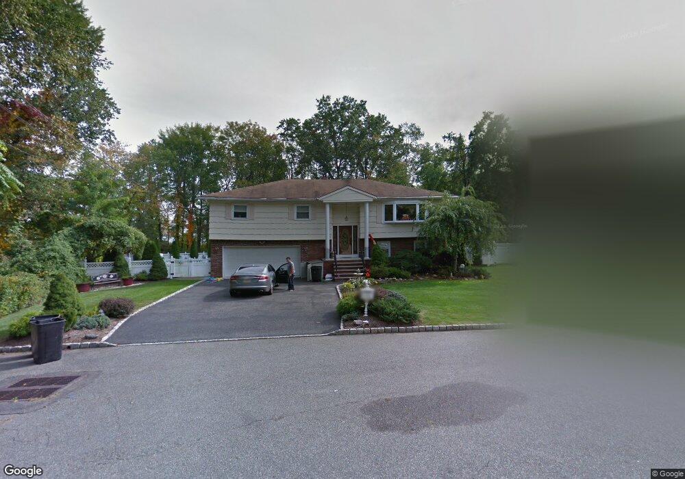
22 Matt Dr Fairfield, NJ 07004
Estimated Value: $682,000 - $821,000
--
Bed
--
Bath
2,397
Sq Ft
$317/Sq Ft
Est. Value
About This Home
This home is located at 22 Matt Dr, Fairfield, NJ 07004 and is currently estimated at $759,571, approximately $316 per square foot. 22 Matt Dr is a home located in Essex County with nearby schools including Adlai E Stevenson School, Churchill, and West Essex Middle School.
Ownership History
Date
Name
Owned For
Owner Type
Purchase Details
Closed on
Apr 9, 2009
Sold by
Estate Of Gilda C Nittolo and Bonanno Anthony
Bought by
Bonanno Anthony and Bonanno Dianne
Current Estimated Value
Purchase Details
Closed on
Jul 11, 2008
Sold by
Nittolo Michael L and Nittolo Gilda C
Bought by
Nittolo Gilda C
Purchase Details
Closed on
May 11, 2000
Sold by
Inocencio Stephen
Bought by
Nittolo Michael and Nittolo Gilda
Purchase Details
Closed on
Nov 1, 1996
Sold by
Iacovone Rocco
Bought by
Inocencio Stephen and Inocencio Gladys
Home Financials for this Owner
Home Financials are based on the most recent Mortgage that was taken out on this home.
Original Mortgage
$180,000
Interest Rate
7.99%
Purchase Details
Closed on
Jun 15, 1990
Sold by
Iacovone Frank and Iacovone Lucille
Bought by
Iacovone Rocco and Iacovone Margaret
Create a Home Valuation Report for This Property
The Home Valuation Report is an in-depth analysis detailing your home's value as well as a comparison with similar homes in the area
Home Values in the Area
Average Home Value in this Area
Purchase History
| Date | Buyer | Sale Price | Title Company |
|---|---|---|---|
| Bonanno Anthony | -- | None Available | |
| Nittolo Gilda C | -- | None Available | |
| Nittolo Michael | $315,000 | -- | |
| Nittolo Michael | $315,000 | -- | |
| Inocencio Stephen | $200,000 | -- | |
| Iacovone Rocco | -- | -- |
Source: Public Records
Mortgage History
| Date | Status | Borrower | Loan Amount |
|---|---|---|---|
| Previous Owner | Inocencio Stephen | $180,000 |
Source: Public Records
Tax History Compared to Growth
Tax History
| Year | Tax Paid | Tax Assessment Tax Assessment Total Assessment is a certain percentage of the fair market value that is determined by local assessors to be the total taxable value of land and additions on the property. | Land | Improvement |
|---|---|---|---|---|
| 2025 | $9,140 | $445,200 | $213,600 | $231,600 |
| 2024 | $9,140 | $445,200 | $213,600 | $231,600 |
| 2022 | $8,917 | $445,200 | $213,600 | $231,600 |
| 2021 | $9,024 | $445,200 | $213,600 | $231,600 |
| 2020 | $8,606 | $445,200 | $213,600 | $231,600 |
| 2019 | $9,117 | $401,800 | $201,500 | $200,300 |
| 2018 | $8,783 | $401,800 | $201,500 | $200,300 |
| 2017 | $8,807 | $401,800 | $201,500 | $200,300 |
| 2016 | $8,852 | $401,800 | $201,500 | $200,300 |
| 2015 | $8,112 | $401,800 | $201,500 | $200,300 |
| 2014 | $7,859 | $401,800 | $201,500 | $200,300 |
Source: Public Records
Map
Nearby Homes
- 51 Francine Ave
- 29 Plymouth St
- 53 Fairfield Rd
- 55 Fairfield Rd
- 26 Phyllis Ln
- 131 Horseneck Rd
- 156 Fairfield Ave
- L1101 Fairfield Ave
- 11 Spring Ln
- 246 Horseneck Rd
- 21 Spring Ln
- 9 Aldom Cir
- 797 Passaic Ave
- 584-588 U S 46
- 580 Bloomfield Ave Unit 17A
- 10 Twin Brook Rd
- 3 Hasemann Ct
- 14 Winfield Ct
- 15 Orton Rd
- 14 Big Piece Rd