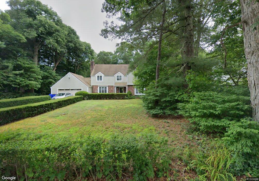
22 Midway Rd Pocasset, MA 02559
Monument Beach NeighborhoodEstimated Value: $742,000 - $1,015,000
5
Beds
3
Baths
2,837
Sq Ft
$317/Sq Ft
Est. Value
About This Home
This home is located at 22 Midway Rd, Pocasset, MA 02559 and is currently estimated at $899,684, approximately $317 per square foot. 22 Midway Rd is a home located in Barnstable County with nearby schools including Bourne High School, Cadence Academy Preschool - Bourne, and St Margaret Regional School.
Ownership History
Date
Name
Owned For
Owner Type
Purchase Details
Closed on
Apr 17, 2012
Sold by
Ciampa Mary A
Bought by
Ciampa John L and Destefano Donna
Current Estimated Value
Purchase Details
Closed on
Oct 20, 1972
Bought by
Ciampa John Donna L and Ciampa Destefano
Create a Home Valuation Report for This Property
The Home Valuation Report is an in-depth analysis detailing your home's value as well as a comparison with similar homes in the area
Home Values in the Area
Average Home Value in this Area
Purchase History
| Date | Buyer | Sale Price | Title Company |
|---|---|---|---|
| Ciampa John L | -- | -- | |
| Ciampa John L | -- | -- | |
| Ciampa John Donna L | -- | -- |
Source: Public Records
Mortgage History
| Date | Status | Borrower | Loan Amount |
|---|---|---|---|
| Previous Owner | Ciampa John Donna L | $215,000 |
Source: Public Records
Tax History Compared to Growth
Tax History
| Year | Tax Paid | Tax Assessment Tax Assessment Total Assessment is a certain percentage of the fair market value that is determined by local assessors to be the total taxable value of land and additions on the property. | Land | Improvement |
|---|---|---|---|---|
| 2025 | $5,886 | $753,700 | $212,300 | $541,400 |
| 2024 | $5,463 | $681,200 | $202,200 | $479,000 |
| 2023 | $5,312 | $603,000 | $179,000 | $424,000 |
| 2022 | $4,996 | $495,100 | $158,400 | $336,700 |
| 2021 | $4,855 | $450,800 | $144,100 | $306,700 |
| 2020 | $4,717 | $439,200 | $142,800 | $296,400 |
| 2019 | $4,440 | $422,500 | $142,800 | $279,700 |
| 2018 | $4,243 | $402,600 | $136,000 | $266,600 |
| 2017 | $4,012 | $389,500 | $128,000 | $261,500 |
| 2016 | $3,833 | $377,300 | $128,000 | $249,300 |
| 2015 | $3,663 | $363,800 | $114,500 | $249,300 |
Source: Public Records
Map
Nearby Homes
- 501 County Rd
- 515 County Rd
- 566 Shore Rd
- 18 Douglas Ave
- 30 Howard Ave
- 39 Bennets Neck Dr
- 93 Valley Bars Rd
- 105 Clay Pond Rd
- 18 Carlton Rd
- 14 Navajo Rd
- 709 County Rd
- 174 Barlows Landing Rd
- 254 Barlows Landing Rd
- 940 County Rd
- 12 Beachwood Rd
- 2 Westerly Dr
- 15 1st St
- 41 Portside Dr
- 7 Portside Dr
- 7 4th Ave