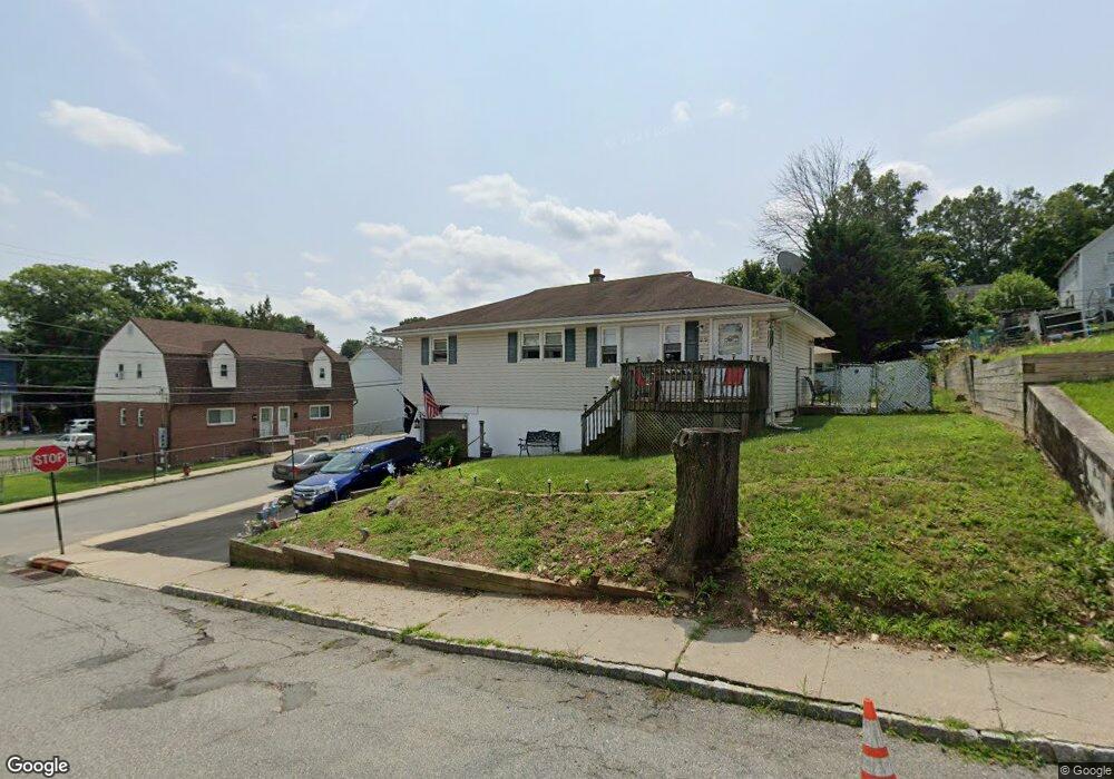
22 Mill St Wharton, NJ 07885
Estimated Value: $396,000 - $422,000
Studio
--
Bath
1,118
Sq Ft
$364/Sq Ft
Est. Value
About This Home
This home is located at 22 Mill St, Wharton, NJ 07885 and is currently estimated at $406,809, approximately $363 per square foot. 22 Mill St is a home located in Morris County with nearby schools including Marie V. Duffy Elementary School and A C Mac Kinnon Middle School.
Ownership History
Date
Name
Owned For
Owner Type
Purchase Details
Closed on
May 9, 2016
Sold by
Reynolds Shirley
Bought by
Elio Christopher J and Bott Carol P
Current Estimated Value
Home Financials for this Owner
Home Financials are based on the most recent Mortgage that was taken out on this home.
Original Mortgage
$203,615
Outstanding Balance
$162,565
Interest Rate
3.75%
Mortgage Type
FHA
Estimated Equity
$244,244
Create a Home Valuation Report for This Property
The Home Valuation Report is an in-depth analysis detailing your home's value as well as a comparison with similar homes in the area
Home Values in the Area
Average Home Value in this Area
Purchase History
| Date | Buyer | Sale Price | Title Company |
|---|---|---|---|
| Elio Christopher J | $211,000 | Foundation Title Llc |
Source: Public Records
Mortgage History
| Date | Status | Borrower | Loan Amount |
|---|---|---|---|
| Open | Elio Christopher J | $203,615 |
Source: Public Records
Tax History
| Year | Tax Paid | Tax Assessment Tax Assessment Total Assessment is a certain percentage of the fair market value that is determined by local assessors to be the total taxable value of land and additions on the property. | Land | Improvement |
|---|---|---|---|---|
| 2025 | $7,886 | $284,900 | $107,200 | $177,700 |
| 2024 | $7,452 | $266,500 | $102,200 | $164,300 |
Source: Public Records
Map
Nearby Homes
- 24 Mill St
- 69 Robert St Unit 75
- 53-55 Robert St
- 55 Robert St
- 53 Robert St Unit 55
- 62 Robert St Unit 68
- 15 Mill St
- 56 Deszo Ave
- 77 Robert St
- 48-50 Robert St
- 50 Robert St
- 70 Robert St
- 9 Mill St Unit 11
- 48 Robert St Unit 50
- 35 Mill St
- 8 Deszo Ave
- 45 S Main St
- 45 S Main St Unit A
- 45 S Main St Unit 2
- 46 Robert St
Your Personal Tour Guide
Ask me questions while you tour the home.