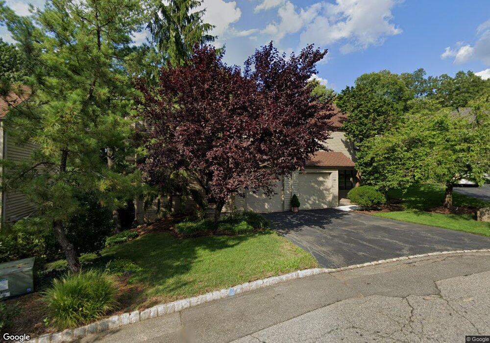
22 Minnisink Dr Roseland, NJ 07068
Estimated Value: $587,524 - $640,000
--
Bed
--
Bath
1,684
Sq Ft
$362/Sq Ft
Est. Value
About This Home
This home is located at 22 Minnisink Dr, Roseland, NJ 07068 and is currently estimated at $609,131, approximately $361 per square foot. 22 Minnisink Dr is a home located in Essex County with nearby schools including Lester C. Noecker Elementary School, West Essex Middle School, and West Essex High School.
Ownership History
Date
Name
Owned For
Owner Type
Purchase Details
Closed on
Jul 21, 1994
Sold by
Padmanathan Thurairajah
Bought by
Schottland Thomas
Current Estimated Value
Home Financials for this Owner
Home Financials are based on the most recent Mortgage that was taken out on this home.
Original Mortgage
$156,000
Interest Rate
8.19%
Purchase Details
Closed on
Dec 9, 1988
Sold by
Leff Lawrence and Leff Andrea
Bought by
Padmanathan Thurairajah and Padmanathan Pathmasot
Create a Home Valuation Report for This Property
The Home Valuation Report is an in-depth analysis detailing your home's value as well as a comparison with similar homes in the area
Home Values in the Area
Average Home Value in this Area
Purchase History
| Date | Buyer | Sale Price | Title Company |
|---|---|---|---|
| Schottland Thomas | $198,000 | -- | |
| Padmanathan Thurairajah | $218,000 | -- |
Source: Public Records
Mortgage History
| Date | Status | Borrower | Loan Amount |
|---|---|---|---|
| Closed | Schottland Thomas | $156,000 |
Source: Public Records
Tax History Compared to Growth
Tax History
| Year | Tax Paid | Tax Assessment Tax Assessment Total Assessment is a certain percentage of the fair market value that is determined by local assessors to be the total taxable value of land and additions on the property. | Land | Improvement |
|---|---|---|---|---|
| 2025 | $7,723 | $471,100 | $240,000 | $231,100 |
| 2024 | $7,723 | $471,100 | $240,000 | $231,100 |
| 2022 | $7,790 | $333,600 | $170,000 | $163,600 |
| 2021 | $7,683 | $333,600 | $170,000 | $163,600 |
| 2020 | $7,656 | $333,600 | $170,000 | $163,600 |
| 2019 | $7,586 | $333,600 | $170,000 | $163,600 |
| 2018 | $7,519 | $333,600 | $170,000 | $163,600 |
| 2017 | $7,516 | $333,600 | $170,000 | $163,600 |
| 2016 | $7,399 | $333,600 | $170,000 | $163,600 |
| 2015 | $7,416 | $333,600 | $170,000 | $163,600 |
| 2014 | $7,209 | $333,600 | $170,000 | $163,600 |
Source: Public Records
Map
Nearby Homes
- 20 Lenape Dr
- 88 Kent Dr Unit C0176
- 6 Mulford Ct Unit Address 6
- 6 Mulford Ct Unit C0013
- 38 Passaic Ave
- 144 Passaic Ave
- 26 Passaic Ave
- 30 Schweinberg Dr
- 192 Eagle Rock Ave
- 39 Schweinberg Dr Unit 2039
- 39 Schweinberg Dr
- 178 Passaic Ave
- 187 Passaic Ave
- 518 Eagle Rock Ave
- 26 Bovensiepen Ct
- 26 Bovensiepen Ct Unit 3526
- 4 Williamsburg Dr
- 58 Leonard Terrace
- 281 N Livingston Ave
- 37 Dalewood Rd
- 24 Minnisink Dr
- 20 Minnisink Dr
- 18 Minnisink Dr
- 26 Minnisink Dr
- 28 Minnisink Dr
- 30 Minnisink Dr
- 14 Minnisink Dr
- 34 Minnisink Dr
- 32 Minnisink Dr
- 36 Minnisink Dr
- 25 Minnisink Dr
- 40 Minnisink Dr
- 12 Minnisink Dr
- 27 Minnisink Dr
- 42 Minnisink Dr
- 29 Minnisink Dr
- 10 Minnisink Dr
- 44 Minnisink Dr
- 31 Minnisink Dr
- 8 Minnisink Dr