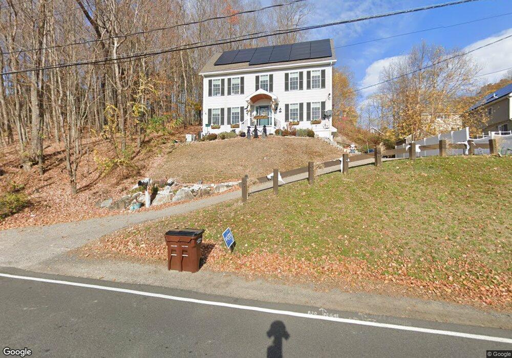
22 Monroe St Amesbury, MA 01913
Estimated Value: $758,000 - $871,000
4
Beds
3
Baths
2,884
Sq Ft
$280/Sq Ft
Est. Value
About This Home
This home is located at 22 Monroe St, Amesbury, MA 01913 and is currently estimated at $808,829, approximately $280 per square foot. 22 Monroe St is a home located in Essex County with nearby schools including Amesbury High School and Amesbury Seventh-Day Adventist School.
Ownership History
Date
Name
Owned For
Owner Type
Purchase Details
Closed on
May 8, 2017
Sold by
Park Jeramy and Park Emily
Bought by
Allen Jonathan and Allen Megan
Current Estimated Value
Home Financials for this Owner
Home Financials are based on the most recent Mortgage that was taken out on this home.
Original Mortgage
$386,650
Outstanding Balance
$322,687
Interest Rate
4.23%
Mortgage Type
FHA
Estimated Equity
$486,142
Purchase Details
Closed on
Mar 31, 2009
Sold by
Cunningham Amy B
Bought by
Park Jeramy P
Home Financials for this Owner
Home Financials are based on the most recent Mortgage that was taken out on this home.
Original Mortgage
$367,748
Interest Rate
5.14%
Mortgage Type
VA
Purchase Details
Closed on
Dec 21, 2007
Sold by
Rycon Rt
Bought by
Cunningham Amy B
Home Financials for this Owner
Home Financials are based on the most recent Mortgage that was taken out on this home.
Original Mortgage
$333,732
Interest Rate
6.3%
Mortgage Type
Purchase Money Mortgage
Create a Home Valuation Report for This Property
The Home Valuation Report is an in-depth analysis detailing your home's value as well as a comparison with similar homes in the area
Home Values in the Area
Average Home Value in this Area
Purchase History
| Date | Buyer | Sale Price | Title Company |
|---|---|---|---|
| Allen Jonathan | $400,000 | -- | |
| Park Jeramy P | $356,000 | -- | |
| Cunningham Amy B | $339,000 | -- |
Source: Public Records
Mortgage History
| Date | Status | Borrower | Loan Amount |
|---|---|---|---|
| Open | Allen Jonathan | $386,650 | |
| Previous Owner | Cunningham Amy B | $367,748 | |
| Previous Owner | Cunningham Amy B | $367,748 | |
| Previous Owner | Cunningham Amy B | $333,732 |
Source: Public Records
Tax History
| Year | Tax Paid | Tax Assessment Tax Assessment Total Assessment is a certain percentage of the fair market value that is determined by local assessors to be the total taxable value of land and additions on the property. | Land | Improvement |
|---|---|---|---|---|
| 2025 | $10,972 | $717,100 | $200,900 | $516,200 |
| 2024 | $10,444 | $667,800 | $189,500 | $478,300 |
| 2023 | $9,561 | $585,100 | $164,700 | $420,400 |
| 2022 | $9,399 | $531,300 | $143,300 | $388,000 |
| 2021 | $8,997 | $493,000 | $110,700 | $382,300 |
| 2020 | $8,088 | $470,800 | $106,500 | $364,300 |
| 2019 | $8,143 | $443,300 | $106,500 | $336,800 |
| 2018 | $7,864 | $414,100 | $101,400 | $312,700 |
| 2017 | $8,042 | $403,100 | $101,400 | $301,700 |
| 2016 | $7,966 | $392,800 | $101,400 | $291,400 |
| 2015 | $7,774 | $378,500 | $101,400 | $277,100 |
| 2014 | $7,516 | $358,400 | $101,400 | $257,000 |
Source: Public Records
Map
Nearby Homes
- 21 Congress St
- 82 Monroe St
- 21 River St
- 97 Elm St
- 4 Clark St
- 25 Cedar St Unit 4
- 3 Birchwood Point Unit 202
- 7 Birchwood Pointe Unit 101
- 101 Market St Unit B
- 105 Market St Unit B
- 382 Main St
- 53 Rabbit Rd
- 4 Greenwood St
- 253 Main St
- 5 Russell St Unit 1
- 149 Market St
- 3 Tremont Ave Unit A
- 48 Orchard St
- 1 Hillside Ave Unit 3
- 191 Elm St
Your Personal Tour Guide
Ask me questions while you tour the home.