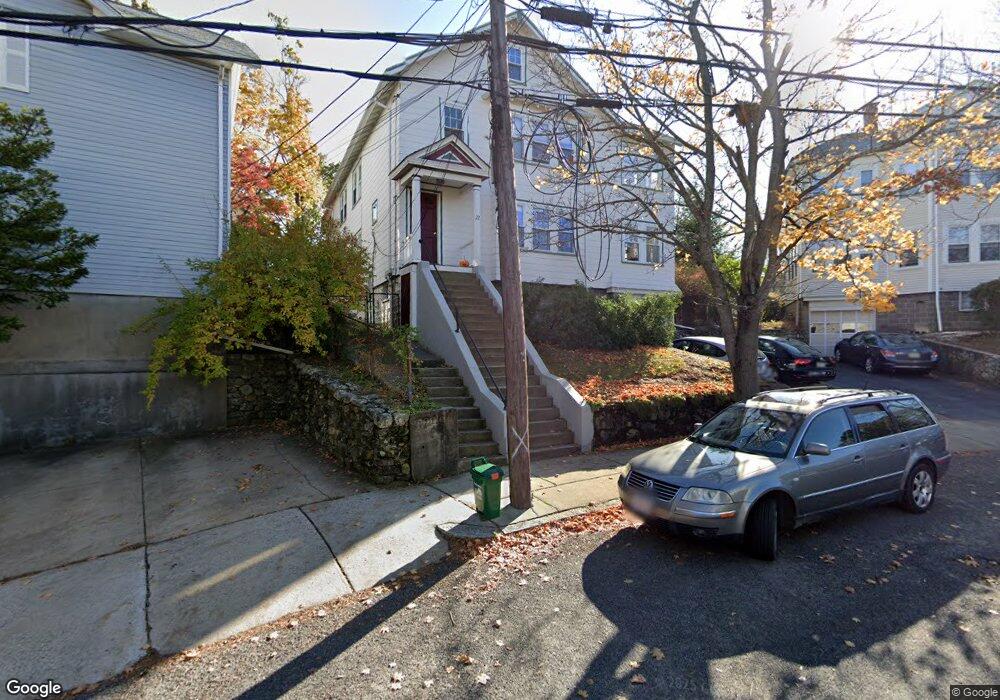
22 Moulton Rd Unit 2 Arlington, MA 02476
Arlington Center NeighborhoodEstimated Value: $738,000 - $876,000
4
Beds
1
Bath
1,520
Sq Ft
$542/Sq Ft
Est. Value
About This Home
This home is located at 22 Moulton Rd Unit 2, Arlington, MA 02476 and is currently estimated at $823,667, approximately $541 per square foot. 22 Moulton Rd Unit 2 is a home located in Middlesex County with nearby schools including Brackett Elementary School, Bishop Elementary School, and Ottoson Middle School.
Ownership History
Date
Name
Owned For
Owner Type
Purchase Details
Closed on
Mar 30, 2007
Sold by
Strominger Ethan M and Strominger Iana Burhoe
Bought by
Armbruster Elif S and Cochrane William K
Current Estimated Value
Home Financials for this Owner
Home Financials are based on the most recent Mortgage that was taken out on this home.
Original Mortgage
$268,000
Outstanding Balance
$163,638
Interest Rate
6.33%
Mortgage Type
Purchase Money Mortgage
Estimated Equity
$660,029
Create a Home Valuation Report for This Property
The Home Valuation Report is an in-depth analysis detailing your home's value as well as a comparison with similar homes in the area
Home Values in the Area
Average Home Value in this Area
Purchase History
| Date | Buyer | Sale Price | Title Company |
|---|---|---|---|
| Armbruster Elif S | $335,000 | -- |
Source: Public Records
Mortgage History
| Date | Status | Borrower | Loan Amount |
|---|---|---|---|
| Open | Armbruster Elif S | $268,000 |
Source: Public Records
Tax History Compared to Growth
Tax History
| Year | Tax Paid | Tax Assessment Tax Assessment Total Assessment is a certain percentage of the fair market value that is determined by local assessors to be the total taxable value of land and additions on the property. | Land | Improvement |
|---|---|---|---|---|
| 2025 | $6,645 | $617,000 | $0 | $617,000 |
| 2024 | $6,266 | $591,700 | $0 | $591,700 |
| 2023 | $6,087 | $543,000 | $0 | $543,000 |
| 2022 | $6,024 | $527,500 | $0 | $527,500 |
| 2021 | $5,806 | $512,000 | $0 | $512,000 |
| 2020 | $5,578 | $504,300 | $0 | $504,300 |
| 2019 | $5,109 | $453,700 | $0 | $453,700 |
| 2018 | $4,864 | $401,000 | $0 | $401,000 |
| 2017 | $4,588 | $365,300 | $0 | $365,300 |
| 2016 | $4,676 | $365,300 | $0 | $365,300 |
| 2015 | $4,572 | $337,400 | $0 | $337,400 |
Source: Public Records
Map
Nearby Homes
- 10 Plymouth St Unit 10
- 53 Highland Ave
- 39 Newport St
- 975 Mass Ave Unit 106
- 975 Massachusetts Ave Unit 307
- 995 Massachusetts Ave Unit 404
- 36 Churchill Ave Unit 1
- 1025 Massachusetts Ave Unit 204
- 204 Plan at Majestic Mill Brook
- 1025 Massachusetts Ave Unit 404
- 1025 Massachusetts Ave Unit 506
- 1025 Massachusetts Ave Unit 401
- 1025 Massachusetts Ave Unit 210
- 1025 Massachusetts Ave Unit 402
- 1025 Massachusetts Ave Unit 308
- 1025 Massachusetts Ave Unit 411
- 1025 Massachusetts Ave Unit 313
- 1025 Massachusetts Ave Unit 304
- 1025 Massachusetts Ave Unit 414
- 1025 Massachusetts Ave Unit 212
- 22 Moulton Rd Unit 1
- 18 Moulton Rd Unit 2
- 18 Moulton Rd Unit 1
- 18 Moulton Rd
- 26 Moulton Rd Unit 28
- 29 Highland Ave Unit B
- 29 Highland Ave Unit A
- 14 Moulton Rd Unit 14
- 14 Moulton Rd Unit 1
- 31 Highland Ave Unit B
- 31 Highland Ave Unit A
- 31 Highland Ave Unit 31
- 31 Highland Ave Unit 2
- 6-8 Moulton Rd
- 27 Highland Ave
- 27 Highland Ave
- 27 Highland Ave Unit 1
- 27 Highland Ave Unit 2
- 23 Moulton Rd Unit 25
- 23 Moulton Rd Unit 1