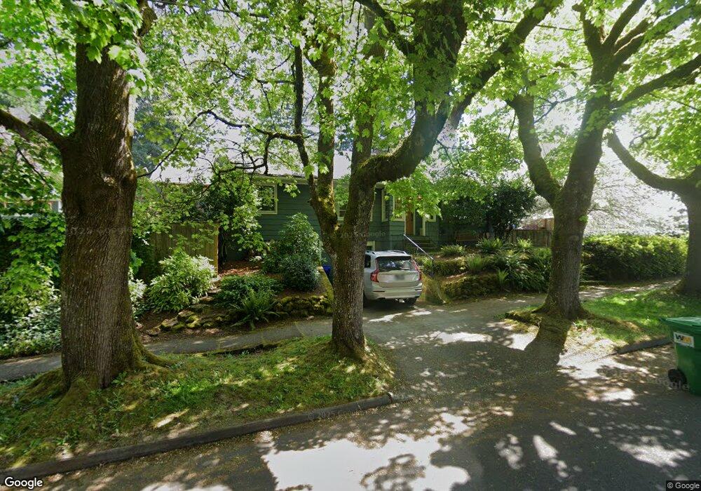
22 NE 65th Ave Portland, OR 97213
North Tabor NeighborhoodEstimated Value: $590,000 - $625,000
3
Beds
2
Baths
1,206
Sq Ft
$503/Sq Ft
Est. Value
About This Home
This home is located at 22 NE 65th Ave, Portland, OR 97213 and is currently estimated at $606,614, approximately $502 per square foot. 22 NE 65th Ave is a home located in Multnomah County with nearby schools including Vestal Elementary School, Leodis V. McDaniel High School, and Portland Arthur Academy.
Ownership History
Date
Name
Owned For
Owner Type
Purchase Details
Closed on
Mar 10, 2008
Sold by
Mccloskey Roman
Bought by
Meser Charles P and Welker Amanda J
Current Estimated Value
Home Financials for this Owner
Home Financials are based on the most recent Mortgage that was taken out on this home.
Original Mortgage
$314,000
Outstanding Balance
$194,670
Interest Rate
5.65%
Mortgage Type
Purchase Money Mortgage
Estimated Equity
$411,944
Purchase Details
Closed on
Jul 18, 2006
Sold by
Lewis Dansby Ramay Anquanette
Bought by
Mccloskey Roman
Home Financials for this Owner
Home Financials are based on the most recent Mortgage that was taken out on this home.
Original Mortgage
$216,000
Interest Rate
6.57%
Mortgage Type
Purchase Money Mortgage
Create a Home Valuation Report for This Property
The Home Valuation Report is an in-depth analysis detailing your home's value as well as a comparison with similar homes in the area
Home Values in the Area
Average Home Value in this Area
Purchase History
| Date | Buyer | Sale Price | Title Company |
|---|---|---|---|
| Meser Charles P | $314,000 | Chicago Title Insurance Co | |
| Mccloskey Roman | $240,000 | Fidelity Natl Title Co Of Or |
Source: Public Records
Mortgage History
| Date | Status | Borrower | Loan Amount |
|---|---|---|---|
| Open | Meser Charles P | $314,000 | |
| Previous Owner | Mccloskey Roman | $216,000 |
Source: Public Records
Tax History Compared to Growth
Tax History
| Year | Tax Paid | Tax Assessment Tax Assessment Total Assessment is a certain percentage of the fair market value that is determined by local assessors to be the total taxable value of land and additions on the property. | Land | Improvement |
|---|---|---|---|---|
| 2024 | $6,683 | $249,790 | -- | -- |
| 2023 | $6,426 | $242,520 | $0 | $0 |
| 2022 | $6,287 | $235,460 | $0 | $0 |
| 2021 | $6,181 | $228,610 | $0 | $0 |
| 2020 | $5,670 | $221,960 | $0 | $0 |
| 2019 | $5,462 | $215,500 | $0 | $0 |
| 2018 | $5,302 | $209,230 | $0 | $0 |
| 2017 | $5,081 | $203,140 | $0 | $0 |
| 2016 | $4,650 | $197,230 | $0 | $0 |
| 2015 | $4,528 | $191,490 | $0 | $0 |
| 2014 | $4,460 | $185,920 | $0 | $0 |
Source: Public Records
Map
Nearby Homes
- 6541 E Burnside St
- 6647 SE Thorburn St
- 6505 SE Thorburn St
- 304 NE 63rd Ave
- 6134 E Burnside St
- 0 SE Ash Place Unit 10 24522620
- 6055 E Burnside St
- 223 SE 62nd Ave
- 232 NE 61st Ave
- 235 NE 61st Ave Unit 36
- 6006 NE Davis St
- 6825 SE Pine Ct
- 350 NE 61st Ave
- 280 NE 60th Ave Unit 22
- 424 NE 61st Ave Unit 426
- 7700 SE Stark St
- 510 SE 62nd Ave
- 5842 E Burnside St
- 5536 NE Flanders St
- 5528 NE Flanders St
- 30 NE 65th Ave
- 0 NE 65th Ave
- 6557 E Burnside St
- 6555 E Burnside St Unit 6557
- 104 NE 65th Ave
- 6435 E Burnside St
- 27 NE 65th Ave
- 25 NE 66th Ave
- 11 NE 66th Ave
- 6524 E Burnside St Unit 6526
- 37 NE 65th Ave
- 6534 E Burnside St
- 6510 E Burnside St Unit 6512
- 105 NE 66th Ave
- 114 NE 65th Ave
- 6500 E Burnside St
- 6395 E Burnside St
- 6391 E Burnside St
- 115 NE 66th Ave
- 6387 E Burnside St