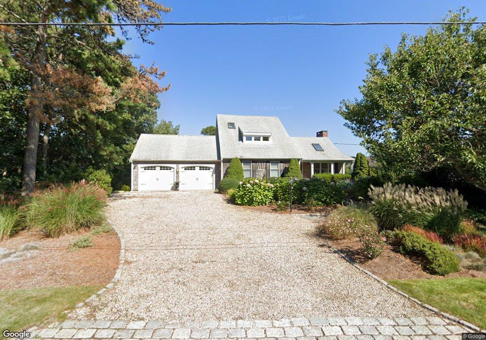
22 North Rd West Dennis, MA 02670
West Dennis NeighborhoodEstimated Value: $1,338,000 - $1,733,496
4
Beds
4
Baths
2,701
Sq Ft
$552/Sq Ft
Est. Value
About This Home
This home is located at 22 North Rd, West Dennis, MA 02670 and is currently estimated at $1,490,124, approximately $551 per square foot. 22 North Rd is a home located in Barnstable County with nearby schools including Dennis-Yarmouth Regional High School.
Ownership History
Date
Name
Owned For
Owner Type
Purchase Details
Closed on
Mar 1, 2022
Sold by
Mary Jane Bush T
Bought by
Rose Elizabeth A and Young Mary P
Current Estimated Value
Purchase Details
Closed on
Mar 22, 2017
Sold by
22 North Road Rt
Bought by
Mary Jane Bush T
Purchase Details
Closed on
Jul 6, 1998
Sold by
Dunhill William M and Dunhill Barbara G
Bought by
Bush Mary Jane
Create a Home Valuation Report for This Property
The Home Valuation Report is an in-depth analysis detailing your home's value as well as a comparison with similar homes in the area
Home Values in the Area
Average Home Value in this Area
Purchase History
| Date | Buyer | Sale Price | Title Company |
|---|---|---|---|
| Rose Elizabeth A | -- | None Available | |
| Mary Jane Bush T | -- | -- | |
| Bush Mary Jane | $339,500 | -- |
Source: Public Records
Tax History Compared to Growth
Tax History
| Year | Tax Paid | Tax Assessment Tax Assessment Total Assessment is a certain percentage of the fair market value that is determined by local assessors to be the total taxable value of land and additions on the property. | Land | Improvement |
|---|---|---|---|---|
| 2025 | $6,443 | $1,488,100 | $463,400 | $1,024,700 |
| 2024 | $6,328 | $1,441,400 | $445,700 | $995,700 |
| 2023 | $6,120 | $1,310,400 | $405,100 | $905,300 |
| 2022 | $5,784 | $1,032,900 | $365,000 | $667,900 |
| 2021 | $5,460 | $905,500 | $357,800 | $547,700 |
| 2020 | $5,768 | $945,500 | $429,300 | $516,200 |
| 2019 | $4,930 | $799,000 | $350,800 | $448,200 |
| 2018 | $4,862 | $766,900 | $333,900 | $433,000 |
| 2017 | $4,716 | $766,900 | $333,900 | $433,000 |
| 2016 | $4,765 | $729,700 | $360,700 | $369,000 |
| 2015 | $4,670 | $729,700 | $360,700 | $369,000 |
| 2014 | $4,135 | $651,200 | $293,900 | $357,300 |
Source: Public Records
Map
Nearby Homes
- 2 Rita Mary Way
- 14 Schoolhouse Ln
- 209 Main St Unit 3
- 209 Main St Unit 6
- 209 Main St Unit 1
- 209 Main St Unit 2
- 209 Main St Unit 4
- 209 Main St Unit 5
- 178 School St
- 23 Doric Ave
- 401 Main St Unit 201
- 401 Main St Unit 101
- 308 Old Main St
- 45 Seth Ln
- 40 Kelley Rd
- 467 Main St
- 181 Pleasant St
- 29 Bass River Rd
- 18 Turner Ln
- 61 Trotters Ln