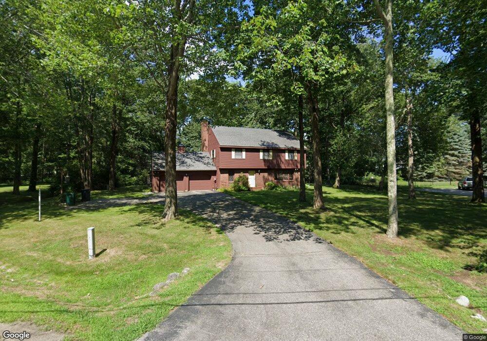
22 Oceanview Dr Biddeford, ME 04005
Hills Beach NeighborhoodEstimated Value: $1,056,000 - $3,584,000
3
Beds
2
Baths
2,002
Sq Ft
$1,134/Sq Ft
Est. Value
About This Home
This home is located at 22 Oceanview Dr, Biddeford, ME 04005 and is currently estimated at $2,270,853, approximately $1,134 per square foot. 22 Oceanview Dr is a home located in York County with nearby schools including John F Kennedy Memorial School, Biddeford Primary School, and Biddeford Intermediate School.
Ownership History
Date
Name
Owned For
Owner Type
Purchase Details
Closed on
Sep 30, 2022
Sold by
Rouselle Thomas M and Ragan Sandra L
Bought by
22 Ocean Avenue Rt
Current Estimated Value
Create a Home Valuation Report for This Property
The Home Valuation Report is an in-depth analysis detailing your home's value as well as a comparison with similar homes in the area
Home Values in the Area
Average Home Value in this Area
Purchase History
| Date | Buyer | Sale Price | Title Company |
|---|---|---|---|
| 22 Ocean Avenue Rt | $3,110,000 | None Available | |
| 22 Ocean Avenue Rt | $3,110,000 | None Available | |
| 22 Ocean Avenue Rt | $3,110,000 | None Available |
Source: Public Records
Tax History
| Year | Tax Paid | Tax Assessment Tax Assessment Total Assessment is a certain percentage of the fair market value that is determined by local assessors to be the total taxable value of land and additions on the property. | Land | Improvement |
|---|---|---|---|---|
| 2025 | $31,991 | $2,141,300 | $1,792,600 | $348,700 |
| 2024 | $30,355 | $2,134,700 | $1,792,600 | $342,100 |
| 2023 | $27,952 | $2,130,500 | $1,788,400 | $342,100 |
| 2022 | $22,288 | $1,358,200 | $1,113,700 | $244,500 |
| 2021 | $20,501 | $1,149,600 | $940,200 | $209,400 |
| 2020 | $22,121 | $1,127,800 | $932,800 | $195,000 |
| 2019 | $22,533 | $1,127,800 | $932,800 | $195,000 |
| 2018 | $22,218 | $1,127,800 | $932,800 | $195,000 |
| 2017 | $22,344 | $1,113,300 | $932,800 | $180,500 |
| 2016 | $22,110 | $1,113,300 | $932,800 | $180,500 |
| 2015 | $21,481 | $1,113,300 | $932,800 | $180,500 |
| 2014 | $20,952 | $1,113,300 | $932,800 | $180,500 |
| 2013 | -- | $1,235,300 | $1,043,800 | $191,500 |
Source: Public Records
Map
Nearby Homes
- 88-90 Old Pool Rd
- 8 Days Landing
- 700 Pool St
- 125 Hills Beach Rd
- Lot 1 Longboard Ln
- Lot 2 Longboard Ln
- Lot 3 Longboard Ln
- 99 Mile Stretch Rd
- Lot 4 Longboard Ln
- Lot 7 Longboard Ln
- Lot 6 Longboard Ln
- 111 Mile Stretch Rd
- 9 Riverside Ave
- 1 Main Ave
- 0 Newtown Rd
- 10 Lower Beach Rd
- 400 West St
- 46 Ferry Ln
- 3 Scadlock Mill Rd
- 13 Benson
- 22 Oceanview Dr
- 22 Ocean View Dr
- 24 Ocean View Dr
- 24 Oceanview Dr
- 20 Oceanview Dr
- 20 Oceanview Dr
- 15 Oceanview Dr
- 8 Channel Cove Ln
- 23 Oceanview Dr
- 21 Ocean View Dr
- 21 Oceanview Dr
- 10 Channel Cove Ln
- 25 Oceanview Dr
- 26 Ocean View Dr
- 26 Oceanview Dr
- 18 Oceanview Dr
- 18 Ocean View Dr
- 18 Ocean View Dr
- 19 Oceanview Dr
- 27 Oceanview Dr
Your Personal Tour Guide
Ask me questions while you tour the home.