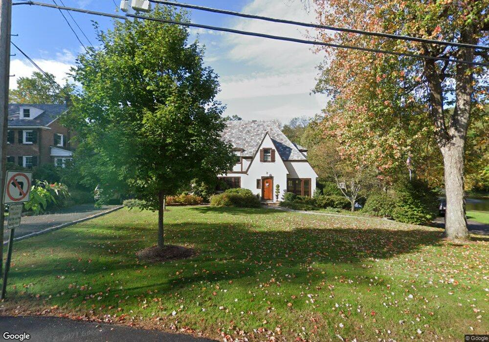
22 Old Harter Rd Morristown, NJ 07960
Estimated Value: $972,000 - $1,377,109
4
Beds
5
Baths
2,702
Sq Ft
$433/Sq Ft
Est. Value
About This Home
This home is located at 22 Old Harter Rd, Morristown, NJ 07960 and is currently estimated at $1,169,527, approximately $432 per square foot. 22 Old Harter Rd is a home located in Morris County with nearby schools including Hillcrest School, Thomas Jefferson School, and Alexander Hamilton School.
Ownership History
Date
Name
Owned For
Owner Type
Purchase Details
Closed on
Mar 19, 2015
Sold by
Mattabi Real Estate Llc
Bought by
Grella Denise A and The Denise A Grella 15 Year Morristown Q
Current Estimated Value
Purchase Details
Closed on
Mar 6, 2015
Sold by
Grella Denise A and Grella Gary
Bought by
The Township Of Morris
Purchase Details
Closed on
Aug 10, 1995
Sold by
Blanchard James A and Blanchard Genia L
Bought by
Grella Gary and Grella Denise
Create a Home Valuation Report for This Property
The Home Valuation Report is an in-depth analysis detailing your home's value as well as a comparison with similar homes in the area
Home Values in the Area
Average Home Value in this Area
Purchase History
| Date | Buyer | Sale Price | Title Company |
|---|---|---|---|
| Grella Denise A | -- | Attorney | |
| The Township Of Morris | -- | Attorney | |
| Mattabi Real Estates Llc | -- | None Available | |
| Grella Denise A | -- | None Available | |
| Mattabi Real Estate Llc | -- | None Available | |
| Grella Gary | $612,000 | -- |
Source: Public Records
Tax History Compared to Growth
Tax History
| Year | Tax Paid | Tax Assessment Tax Assessment Total Assessment is a certain percentage of the fair market value that is determined by local assessors to be the total taxable value of land and additions on the property. | Land | Improvement |
|---|---|---|---|---|
| 2025 | $18,533 | $925,700 | $453,900 | $471,800 |
| 2024 | $18,560 | $925,700 | $453,900 | $471,800 |
| 2023 | $18,560 | $925,700 | $453,900 | $471,800 |
| 2022 | $17,699 | $925,700 | $453,900 | $471,800 |
| 2021 | $17,699 | $925,700 | $453,900 | $471,800 |
| 2020 | $17,237 | $925,700 | $453,900 | $471,800 |
| 2019 | $16,968 | $925,700 | $453,900 | $471,800 |
| 2018 | $16,783 | $925,700 | $453,900 | $471,800 |
| 2017 | $16,672 | $925,700 | $453,900 | $471,800 |
| 2016 | $16,413 | $925,700 | $453,900 | $471,800 |
| 2015 | $20,052 | $790,700 | $445,500 | $345,200 |
| 2014 | $19,791 | $790,700 | $445,500 | $345,200 |
Source: Public Records
Map
Nearby Homes
- 282 Mount Kemble Ave
- 4 Old Harter Rd
- 24 Spring Brook Rd
- 1 Spring Brook Rd
- 234 Mount Kemble Ave
- 237 Mount Kemble Ave
- 232 Mount Kemble Ave
- 97 Skyline Dr
- 2 Skyline Dr
- 10 Westminster Place
- 2 Blackwell Ave
- 9 Wren Ct
- 1 Twin Oaks Ln
- 6 Brookfield Way
- 194 James St
- 21 Maxwell Ct
- 26 Brookfield Way
- 43 Raven Dr
- 143 Hillcrest Ave
- 6 Ash Ln