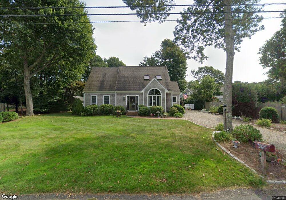
22 Partridge Ln East Falmouth, MA 02536
East Falmouth NeighborhoodEstimated Value: $944,000 - $1,520,000
3
Beds
3
Baths
2,100
Sq Ft
$602/Sq Ft
Est. Value
About This Home
This home is located at 22 Partridge Ln, East Falmouth, MA 02536 and is currently estimated at $1,265,174, approximately $602 per square foot. 22 Partridge Ln is a home located in Barnstable County with nearby schools including East Falmouth Elementary School, Morse Pond School, and Lawrence School.
Ownership History
Date
Name
Owned For
Owner Type
Purchase Details
Closed on
Feb 17, 2022
Sold by
Mcdonald Alice T
Bought by
Alice T Mcdonald Lt and Mcdonald
Current Estimated Value
Purchase Details
Closed on
Aug 18, 2010
Sold by
Mcdonald Paul F and Mcdonald Alice T
Bought by
Mcdonald Alice T
Purchase Details
Closed on
Mar 16, 1984
Bought by
Mcdonald Alice T
Create a Home Valuation Report for This Property
The Home Valuation Report is an in-depth analysis detailing your home's value as well as a comparison with similar homes in the area
Home Values in the Area
Average Home Value in this Area
Purchase History
| Date | Buyer | Sale Price | Title Company |
|---|---|---|---|
| Alice T Mcdonald Lt | -- | None Available | |
| Alice T Mcdonald Lt | -- | None Available | |
| Mcdonald Alice T | -- | -- | |
| Mcdonald Alice T | -- | -- | |
| Mcdonald Alice T | $49,900 | -- |
Source: Public Records
Tax History Compared to Growth
Tax History
| Year | Tax Paid | Tax Assessment Tax Assessment Total Assessment is a certain percentage of the fair market value that is determined by local assessors to be the total taxable value of land and additions on the property. | Land | Improvement |
|---|---|---|---|---|
| 2025 | $5,608 | $955,400 | $412,300 | $543,100 |
| 2024 | $5,449 | $867,700 | $374,800 | $492,900 |
| 2023 | $4,994 | $721,700 | $299,800 | $421,900 |
| 2022 | $4,661 | $579,000 | $248,300 | $330,700 |
| 2021 | $4,344 | $511,000 | $237,500 | $273,500 |
| 2020 | $4,204 | $489,400 | $215,900 | $273,500 |
| 2019 | $4,127 | $482,100 | $215,900 | $266,200 |
| 2018 | $4,057 | $471,800 | $215,900 | $255,900 |
| 2017 | $3,937 | $461,500 | $215,900 | $245,600 |
| 2016 | $3,863 | $461,500 | $215,900 | $245,600 |
| 2015 | $3,780 | $461,500 | $215,900 | $245,600 |
| 2014 | $3,738 | $458,700 | $216,000 | $242,700 |
Source: Public Records
Map
Nearby Homes
- 21 Captain Davis Ln
- 52 Bacon Farm Rd
- 58 Striper Ln
- 1 Cuttysark Rd
- Lot 2 Pine Grove Ave
- 16 Edgewood Dr
- 23 N Bournes Pond Rd
- 23 N Bournes Pond Rd
- 30 Weatherglass Ln
- 214 Menauhant Rd
- 53 Eel River Rd
- 9 Theroux Dr
- 106 Beach St
- 0 Tobey Ln
- 49 Rivers End Rd
- 65 Cypress St
- 14 Avalon Dr
- 42 Hanson Cir
- 87 Acapesket Rd Unit 3B
- 87 Acapesket Rd Unit 3A
- 28 Partridge Ln
- 18 Partridge Ln
- 17 Misty Harbor Ln
- 27 Misty Harbor Ln
- 21 Partridge Ln
- 0 Partridge Ln
- 12 Partridge Ln
- 11 Partridge Ln
- 11 Partridge Ln
- 88 Scraggy Neck Rd
- 32 Partridge Ln
- 32 Scraggy Neck Rd
- 31 Partridge Ln
- 413-A Davisville Rd
- 37 Misty Harbor Ln
- 405 Davisville Rd
- 413-B Davisville Rd
- 399 Davisville Rd
- 8 Partridge Ln
- 389 Davisville Rd