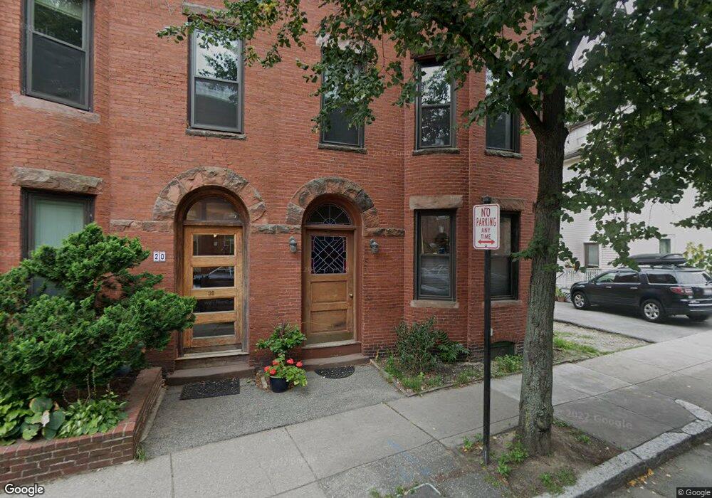
22 Perry St Unit 1 Brookline, MA 02445
Brookline Village NeighborhoodEstimated Value: $556,162 - $693,000
2
Beds
1
Bath
659
Sq Ft
$938/Sq Ft
Est. Value
About This Home
This home is located at 22 Perry St Unit 1, Brookline, MA 02445 and is currently estimated at $618,291, approximately $938 per square foot. 22 Perry St Unit 1 is a home located in Norfolk County with nearby schools including Pierce School, Brookline High School, and St. Mary of the Assumption Elementary School.
Ownership History
Date
Name
Owned For
Owner Type
Purchase Details
Closed on
Feb 19, 2010
Sold by
22 Perry Street Rt
Bought by
Xia Jin J
Current Estimated Value
Home Financials for this Owner
Home Financials are based on the most recent Mortgage that was taken out on this home.
Original Mortgage
$232,500
Outstanding Balance
$154,950
Interest Rate
5.17%
Mortgage Type
Purchase Money Mortgage
Estimated Equity
$463,341
Purchase Details
Closed on
Aug 5, 2009
Sold by
Henry Earl N
Bought by
Allston Condo Llc
Purchase Details
Closed on
Jul 24, 2009
Sold by
Alpha T and Jablonski Erica F S
Bought by
Henry Earl N
Create a Home Valuation Report for This Property
The Home Valuation Report is an in-depth analysis detailing your home's value as well as a comparison with similar homes in the area
Home Values in the Area
Average Home Value in this Area
Purchase History
| Date | Buyer | Sale Price | Title Company |
|---|---|---|---|
| Xia Jin J | $310,000 | -- | |
| Allston Condo Llc | -- | -- | |
| Henry Earl N | $500,000 | -- |
Source: Public Records
Mortgage History
| Date | Status | Borrower | Loan Amount |
|---|---|---|---|
| Open | Xia Jin J | $232,500 |
Source: Public Records
Tax History
| Year | Tax Paid | Tax Assessment Tax Assessment Total Assessment is a certain percentage of the fair market value that is determined by local assessors to be the total taxable value of land and additions on the property. | Land | Improvement |
|---|---|---|---|---|
| 2025 | $5,247 | $531,600 | $0 | $531,600 |
| 2024 | $5,091 | $521,100 | $0 | $521,100 |
| 2023 | $5,035 | $505,000 | $0 | $505,000 |
| 2022 | $5,045 | $495,100 | $0 | $495,100 |
| 2021 | $4,804 | $490,200 | $0 | $490,200 |
| 2020 | $4,587 | $485,400 | $0 | $485,400 |
| 2019 | $4,332 | $462,300 | $0 | $462,300 |
| 2018 | $4,161 | $439,900 | $0 | $439,900 |
| 2017 | $4,024 | $407,300 | $0 | $407,300 |
| 2016 | $3,859 | $370,300 | $0 | $370,300 |
| 2015 | $3,595 | $336,600 | $0 | $336,600 |
| 2014 | $3,419 | $300,200 | $0 | $300,200 |
Source: Public Records
Map
Nearby Homes
- 106 Brook St
- 37 Saint Paul St Unit 3
- 61 Toxteth St
- 2-14 Saint Paul St Unit 403
- 48 Kent St Unit 5
- 57 Saint Paul St Unit 19
- 216 Aspinwall Ave
- 216 Aspinwall Ave Unit 3
- 58 Kent St Unit 302
- 58 Kent St Unit 301
- 58 Kent St Unit 303
- 58 Kent St Unit 304
- 58 Kent St Unit 402
- 58 Kent St Unit 404
- 81 Francis St Unit 2
- 65 Francis St Unit A
- 370 Washington St
- 24 Auburn St Unit 2
- 12 Thayer St
- 15 Kent Square
- 22 Perry St
- 22 Perry St Unit 3
- 22 Perry St Unit 2
- 20 Perry St Unit 3
- 20 Perry St Unit 2
- 20 Perry St Unit 1
- 11 Tabor Place
- 11 Tabor Place Unit 3
- 11 Tabor Place Unit 1
- 100 Brook St
- 98 Brook St
- 100 Brook St Unit 1
- Lot 5 Tabor
- Lot 6 Tabor
- 2 Tabor Place
- 2 Tabor Place Unit 2
- 2 Tabor Place Unit 1
- 8 Tabor Place
- 13 Tabor Place
- 13 Tabor Place Unit 1
Your Personal Tour Guide
Ask me questions while you tour the home.