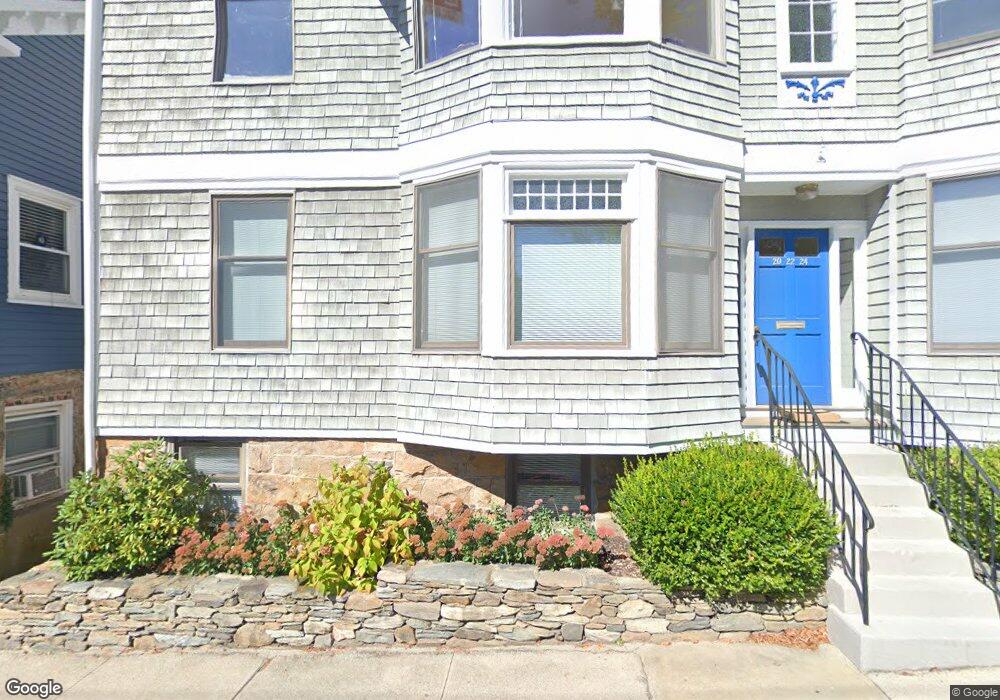
22 Perry St Unit 24 Newport, RI 02840
Historic Hill NeighborhoodEstimated Value: $791,000 - $1,095,000
2
Beds
2
Baths
1,073
Sq Ft
$850/Sq Ft
Est. Value
About This Home
This home is located at 22 Perry St Unit 24, Newport, RI 02840 and is currently estimated at $911,820, approximately $849 per square foot. 22 Perry St Unit 24 is a home located in Newport County with nearby schools including Rogers High School, St Michael's Country Day School, and St George's School.
Ownership History
Date
Name
Owned For
Owner Type
Purchase Details
Closed on
Jun 6, 2023
Sold by
Berger Clifford and Berger Nancy
Bought by
Berger Realty T and Berger
Current Estimated Value
Purchase Details
Closed on
Dec 9, 2020
Sold by
Spengler Mary K
Bought by
Berger Clifford and Berger Nancy
Purchase Details
Closed on
Jun 3, 1988
Bought by
Spengler Mary K
Create a Home Valuation Report for This Property
The Home Valuation Report is an in-depth analysis detailing your home's value as well as a comparison with similar homes in the area
Home Values in the Area
Average Home Value in this Area
Purchase History
| Date | Buyer | Sale Price | Title Company |
|---|---|---|---|
| Berger Realty T | -- | None Available | |
| Berger Realty T | -- | None Available | |
| Berger Clifford | $495,000 | None Available | |
| Spengler Mary K | -- | -- |
Source: Public Records
Tax History
| Year | Tax Paid | Tax Assessment Tax Assessment Total Assessment is a certain percentage of the fair market value that is determined by local assessors to be the total taxable value of land and additions on the property. | Land | Improvement |
|---|---|---|---|---|
| 2025 | $5,082 | $707,800 | $0 | $707,800 |
| 2024 | $5,818 | $707,800 | $0 | $707,800 |
| 2023 | $4,634 | $467,100 | $0 | $467,100 |
| 2022 | $4,489 | $467,100 | $0 | $467,100 |
| 2021 | $4,358 | $467,100 | $0 | $467,100 |
| 2020 | $2,987 | $290,600 | $0 | $290,600 |
| 2019 | $2,987 | $290,600 | $0 | $290,600 |
| 2018 | $2,903 | $290,600 | $0 | $290,600 |
| 2017 | $3,258 | $290,600 | $0 | $290,600 |
| 2016 | $3,176 | $290,600 | $0 | $290,600 |
| 2015 | $3,101 | $290,600 | $0 | $290,600 |
| 2014 | $2,789 | $231,300 | $0 | $231,300 |
Source: Public Records
Map
Nearby Homes
- 2 Perry St
- 20 East St Unit 2A
- 30 S Baptist St
- 401 Bellevue Ave Unit 112
- 6 Sharon Ct
- 421 Bellevue Ave Unit 3B
- 5 Lee's Wharf
- 5 Lee's
- 629 Thames St
- 20 Berkeley Ave Unit 2
- 15 Narragansett Ave Unit 2
- 26 Freebody St
- 24 Brown and Howard Wharf Unit 301
- 19 Slocum St
- 21 Slocum St
- 20 Fair St
- 28 Weaver Ave
- 28 John St Unit 30
- 32 Houston Ave
- 57 Clinton St Unit 57C
- 22 Perry St Unit 24
- 22 Perry St Unit 24
- 22 Perry St Unit B
- 24 Perry St Unit B
- 24 Perry St Unit C
- 24 Perry St
- 20 Perry St
- 20 Perry St Unit C
- 20 Perry St Unit 1
- 20 Perry St Unit A
- 20 Perry St Unit B
- 18 Perry St
- 18 Perry St Unit A
- 26 Perry St
- 26 Perry St Unit 1
- 5 Grant Ct
- 14 Perry St
- 30 West St
- 30 Perry St
- 35 West St
Your Personal Tour Guide
Ask me questions while you tour the home.